Afrathias Beach Crete: Wild Sand, Strong Currents
Profile
Afrathias Beach: Where a River Used to Empty Into the Sea
Greece | Crete | Heraklion | Libyan Sea Coast
The flat, open land behind Afrathias Beach was once part of a much larger wetland, fed by the Geropotamos River before the construction of Tympaki airport split the estuary into smaller, disconnected pieces. Walking the beach itself gives no obvious hint of that history, but the land’s flatness, extending well back from the shoreline rather than rising into dunes, makes considerably more sense once you know what used to sit here. This stretch of coast still functions as an important stop for migratory waterfowl and shorebirds, a role that outlasts whatever airport construction did to the landscape decades ago.
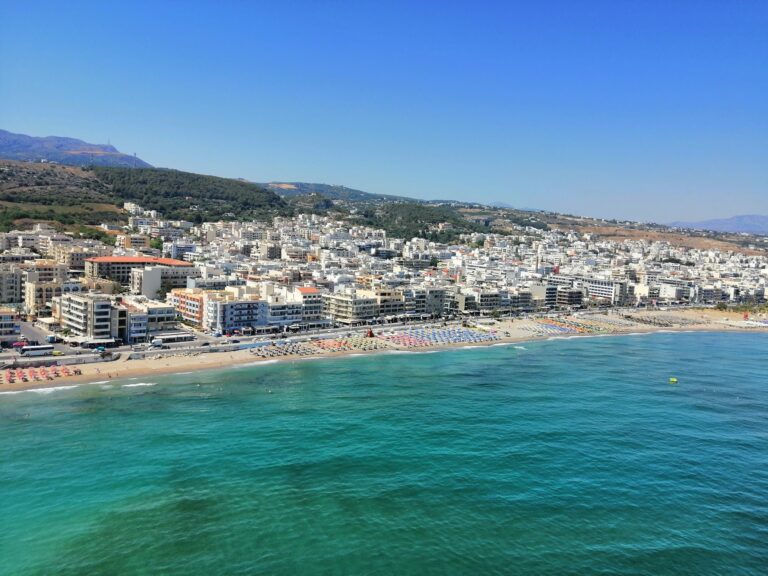
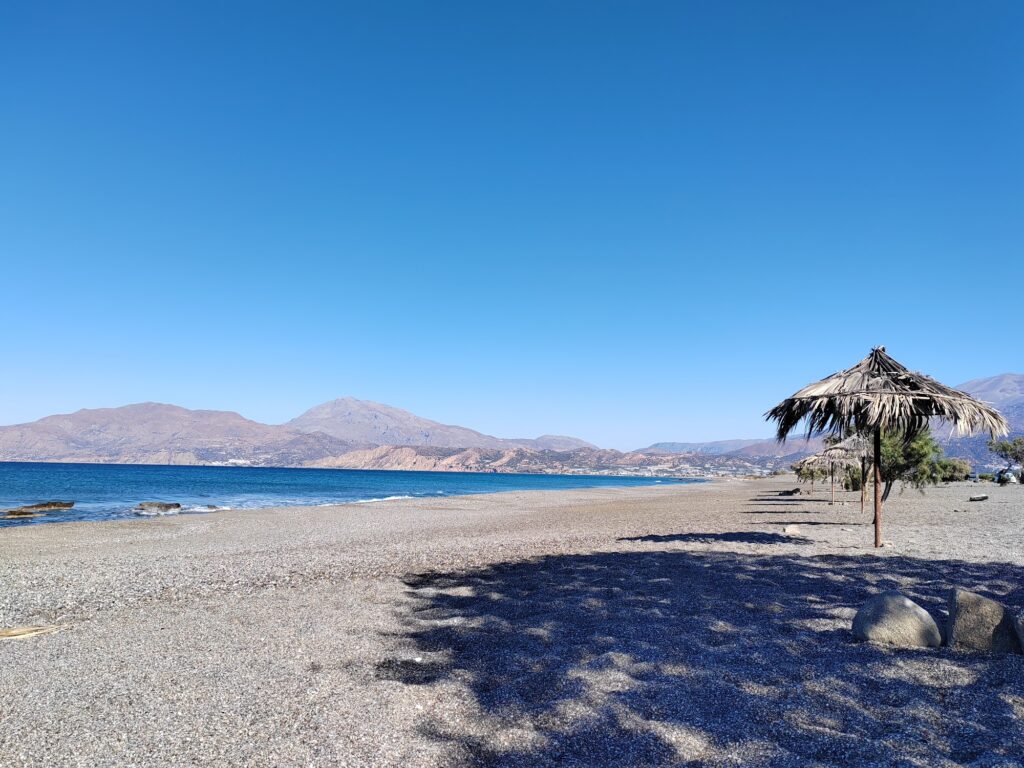
Afrathias sits directly between Tympaki airport and the more developed settlement of Kalamaki, and the beach’s coarse sand and largely unorganized character make it feel considerably wilder than its more polished neighbor a short walk up the coast.
Coarse Sand, Rocky Pools, and a Current Worth Respecting
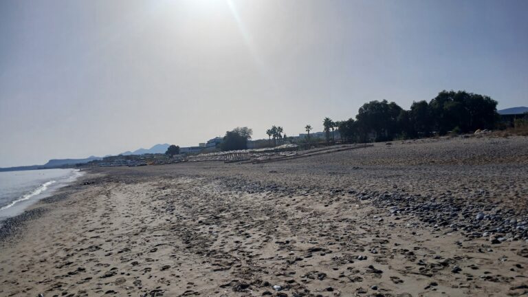
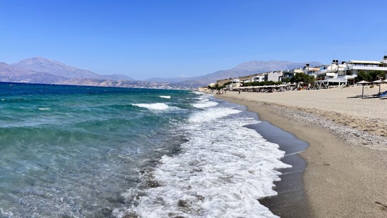
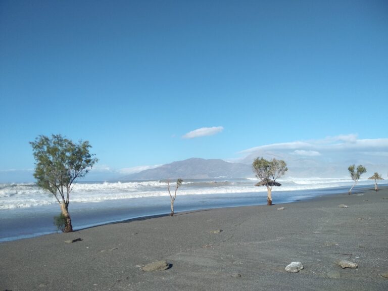
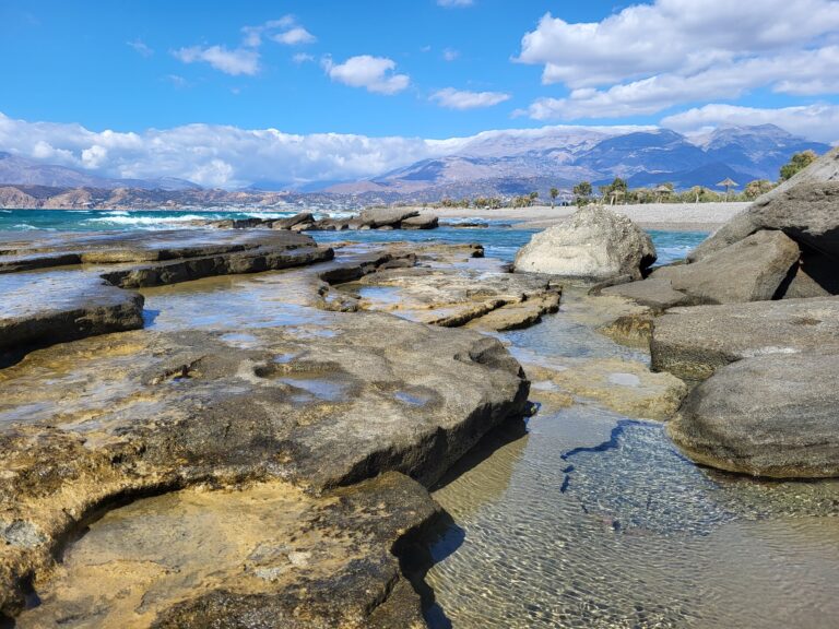
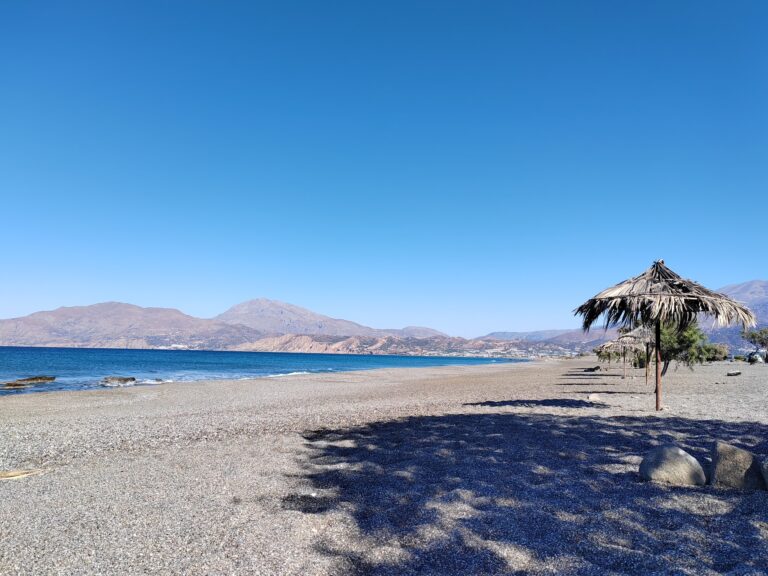
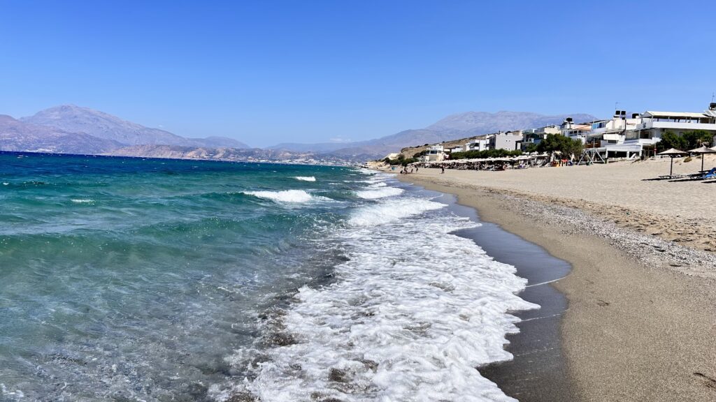
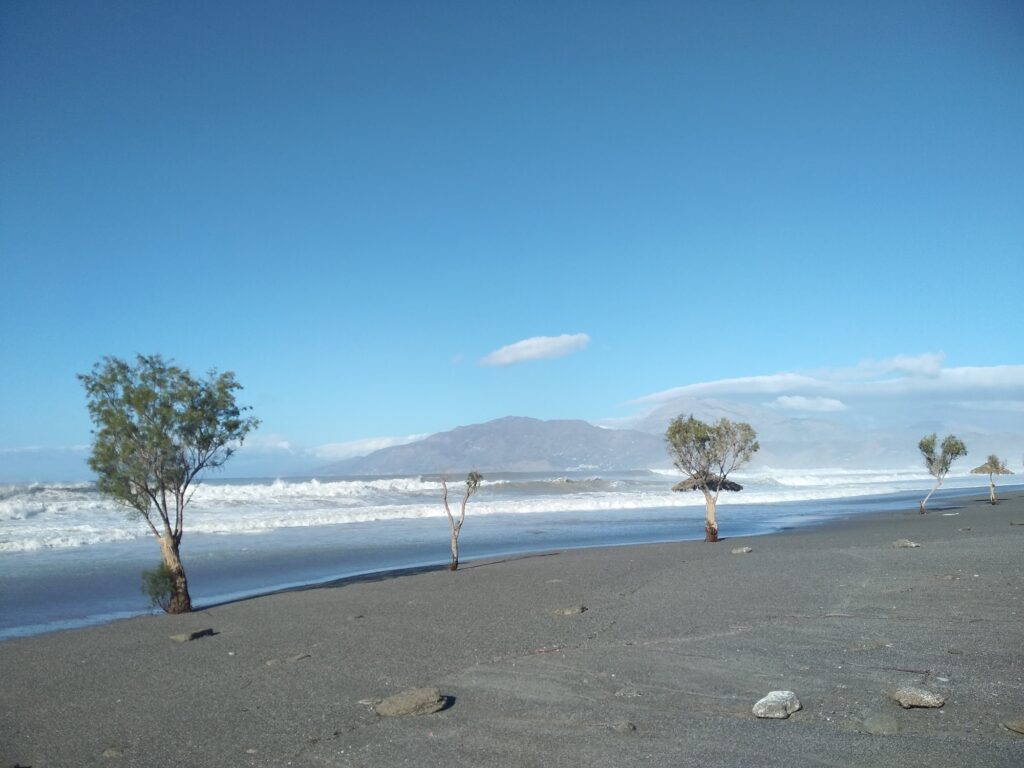
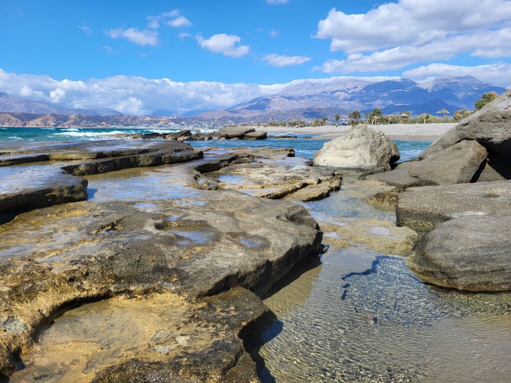
The shoreline at Afrathias runs coarse and dark, mixed with pebbles, and the seabed turns genuinely rocky in long stretches rather than offering the more even sand I found at beaches further along this coast. That rocky bottom creates small natural pools between stones and shore in places, a pleasant surprise for anyone willing to explore rather than head straight into open water. The water itself carries the same turquoise-to-indigo gradient common to this part of the Libyan Sea, but I’d flag something important here that I didn’t need to mention at the more developed beaches nearby: westerly winds can whip up genuinely dangerous currents at Afrathias, and there’s no lifeguard on duty at any point in the season. I’d recommend checking wind conditions carefully before swimming here and staying closer to shore unless you’re a confident, experienced swimmer, since the same conditions that make this beach appealing to windsurfers can turn hazardous quickly for anyone caught off guard.
Given this, I’d treat Afrathias as considerably less suited to young children than the calmer, more supervised beaches in this area, and I’d keep a closer eye on anyone in the water regardless of age when the wind is up.
The Wood of Afrathias and Its Small Chapel
A short walk from the shore, the Wood of Afrathias offers a genuinely pleasant surprise, a shaded park scattered with trees and palms, home to a small church dedicated to Saint John. I found this a welcome retreat from the open, sun-exposed beach itself, and spent part of one afternoon simply sitting under the trees rather than on the sand, something the more built-up beaches nearby don’t really offer in the same way.
A Beach Built for Campers Rather Than Beach Clubs
Afrathias has developed something of a following among campers and longer-term visitors rather than day-trippers, and I noticed a steady presence of camper vans parked in the open areas behind the beach during my visits. Amenities stay basic, a tavern or two, a scattering of shade trees, outdoor showers, nothing resembling the organized sunbed rows found at more commercial beaches along this coast. Given how unorganized most of this shoreline remains, dogs face no particular restriction here beyond the standard leash requirement outside the water that applies to unorganized Greek beaches generally, and this beach’s turtle nesting status, shared with the wider Messara Bay, means the same seasonal caution around lights and disturbed sand applies here as elsewhere along this stretch.
Getting There: The Road Through Timbaki Toward Kamilari
Reaching Afrathias means following the road from Heraklion toward Moires and Timbaki, continuing on toward Kamilari before turning off toward the coast, a drive of roughly an hour and fifteen minutes covering about 65 kilometers. I found the final stretch less clearly signposted than the route to some neighboring beaches, and I’d recommend having a map or GPS ready rather than relying purely on roadside signs.
Arriving via the Coastal Track From Kalamaki
For anyone already staying at Kalamaki, a coastal dirt track connects the two beaches directly, passing over some rougher rock formations along the way. I walked this route once out of curiosity and found it a genuinely interesting stretch on foot, though I wouldn’t recommend it for anyone carrying much beach gear, given the uneven terrain.
Buses to Timbaki and a Taxi Through the Olive Groves
Regional KTEL buses run to Timbaki from Heraklion, and from the village center, a short taxi ride of about 4 kilometers through surrounding olive groves covers the remaining distance to Afrathias. I used this combination once and found it a reasonable, if slightly roundabout, way to reach a beach that clearly rewards visitors with their own transport more than those relying on public routes.
Parking in the Shade of Salt-Cedar Trees
Free parking is available in open areas directly behind the beach and near the tavernas, and arriving before eleven gave me a spot shaded by the salt-cedar trees scattered through the area, a genuine advantage once the sun climbed higher over this flat, largely unshaded stretch of former wetland.
Comparing Afrathias to Its More Developed Neighbors
Afrathias stands in sharp contrast to Kalamaki Beach Crete just up the coast, trading that beach’s organized cafés, digital nomad-friendly Wi-Fi, and gentler reputation for a wilder, considerably less supervised stretch of sand. For anyone prioritizing safety and easier swimming conditions, Kalamaki remains the more sensible choice between the two. Kommos Beach Crete, further along the same bay, offers lifeguard supervision that Afrathias notably lacks, a detail worth weighing carefully if traveling with less confident swimmers.
Watching the Wetland’s Last Light Before Leaving
By the time I packed up on my final visit, the wind had settled from its midday strength, and I stood a while longer near the water’s edge, watching a small group of shorebirds work along the tideline exactly where a much larger wetland once stretched before an airport runway cut it down to what remains today, the sea still doing whatever it pleases along a shore that never quite got the memo to calm down and organize itself.
Map
Sorry, no records were found. Please adjust your search criteria and try again.
Sorry, unable to load the Maps API.
Near by places: