Alyki Beach Boeotia: Where the Argo Anchored
Profile
Alyki Beach Boeotia Greece: The Helmsman of the Argo Came From Here, and Residents Still Showed Pausanias the Exact Spot
Greece | Alyki | Thespiae, Boeotia, Central Greece
When Pausanias visited the Corinthian Gulf coast of Boeotia in the 2nd century AD, the residents of Siphae — the ancient city now sitting at and around the beach called Alyki — were still pointing out the exact spot where the Argo had anchored on its return from Colchis. The tradition was old even then. The city’s name, they believed, derived from Tiphys, the helmsman of Jason’s ship, who came from this region, and who had given the settlement his identity when the expedition returned. Whether the anchoring story was historically real or a local foundation myth attached to a famous name, the fact that people were still repeating it with geographical specificity in the 2nd century AD tells you something about how long this place had held meaning for the people living in it.
What Pausanias also described was a sanctuary to Heracles at Siphae, where an annual festival was celebrated in his honour. The same sources describe Siphae as a dependency of Thespiae, the city whose ports along the Corinthian Gulf gave it commercial and military reach across the water — Creusis, Siphae, and Chorsiae between them serving as the maritime arm of an inland city whose most famous resident was Hesiod, who wrote from nearby Ascra at the foot of Mount Helicon. The fortifications that survive at Alyki today are not from the legendary period but from the 4th century BC — a circuit of walls in Boeotian-style ashlar masonry using local grey limestone, with six towers, three gates, and structures extending into the sea to protect the ancient anchorage. The upper fortress crowns the hill above the current beach. Some of the harbour remains are now submerged due to coastal change over the centuries, visible from the water in calm conditions.
Getting to Alyki Beach Boeotia Greece: Through Thebes and Into the Hills of Helicon
The drive from Athens covers roughly 115 kilometres and takes around an hour and forty-five minutes under normal conditions. The route heads north on the A1 motorway toward Lamia and exits at Thiva — Thebes — before following signs through the Boeotian plain toward Domvraina and Xironomi, eventually descending through the foothills of Mount Helicon toward the coast. The approach from inland is genuinely dramatic in the final kilometres, the road dropping through limestone terrain with the Corinthian Gulf appearing ahead and below before the beach itself comes into view. The entire stretch of coastal Boeotia facing the Gulf of Alkyonides carries this character — mountains close behind, the sea opening out flat and wide in front, the human settlement minimal by the standards of the more developed Attica coastline.
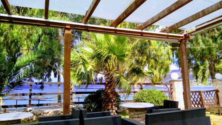
Domvraina to the east provides the nearest village infrastructure, and the small settlement of Alyki itself has the limited provision typical of a quiet Corinthian Gulf resort: tavernas, a small supermarket, seasonal cafés. Parking is available in natural lots directly behind the beach and the salt lake, and the beach draws a local following that keeps numbers manageable outside of peak summer weekends when Athenian day-trippers arrive.
Alyki Beach Boeotia Greece: Pebble and Coarse Sand, the Salt Lake Behind
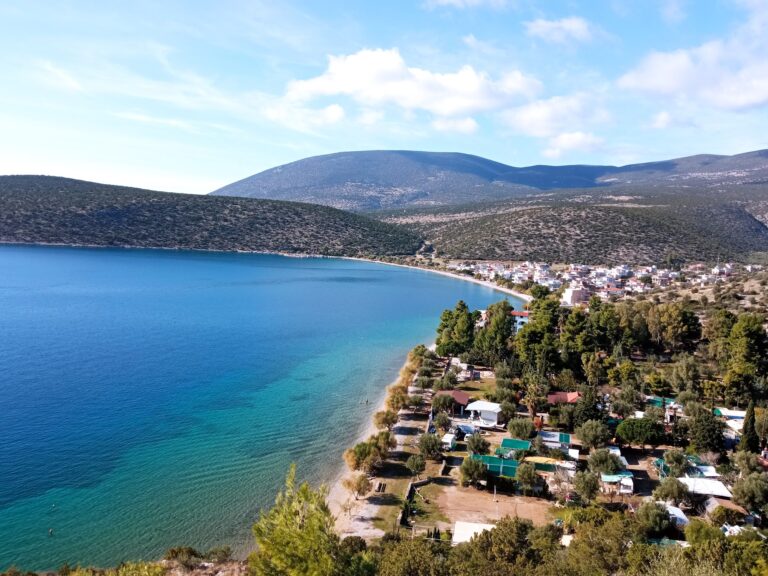
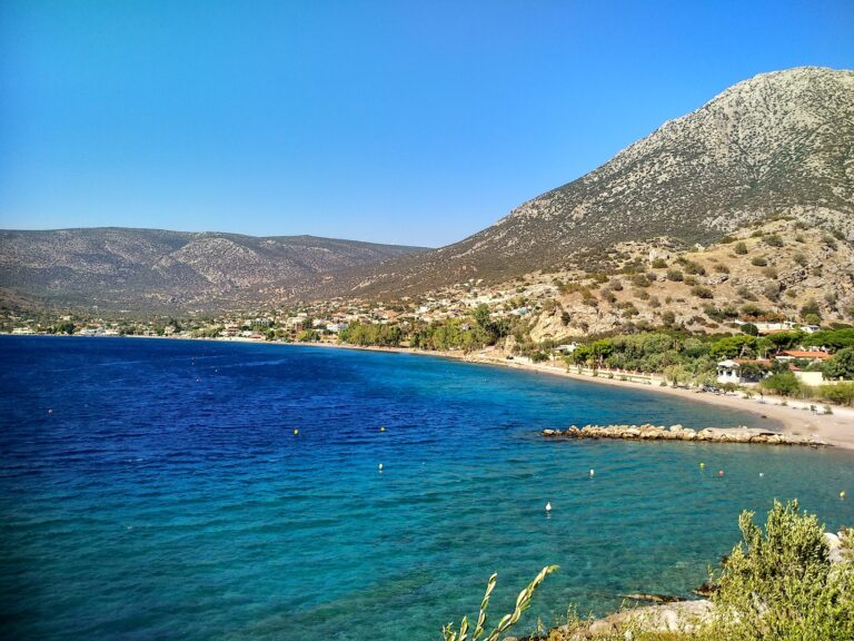
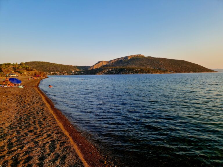
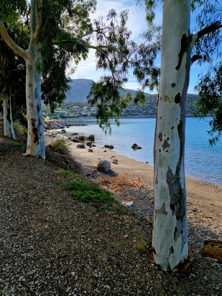
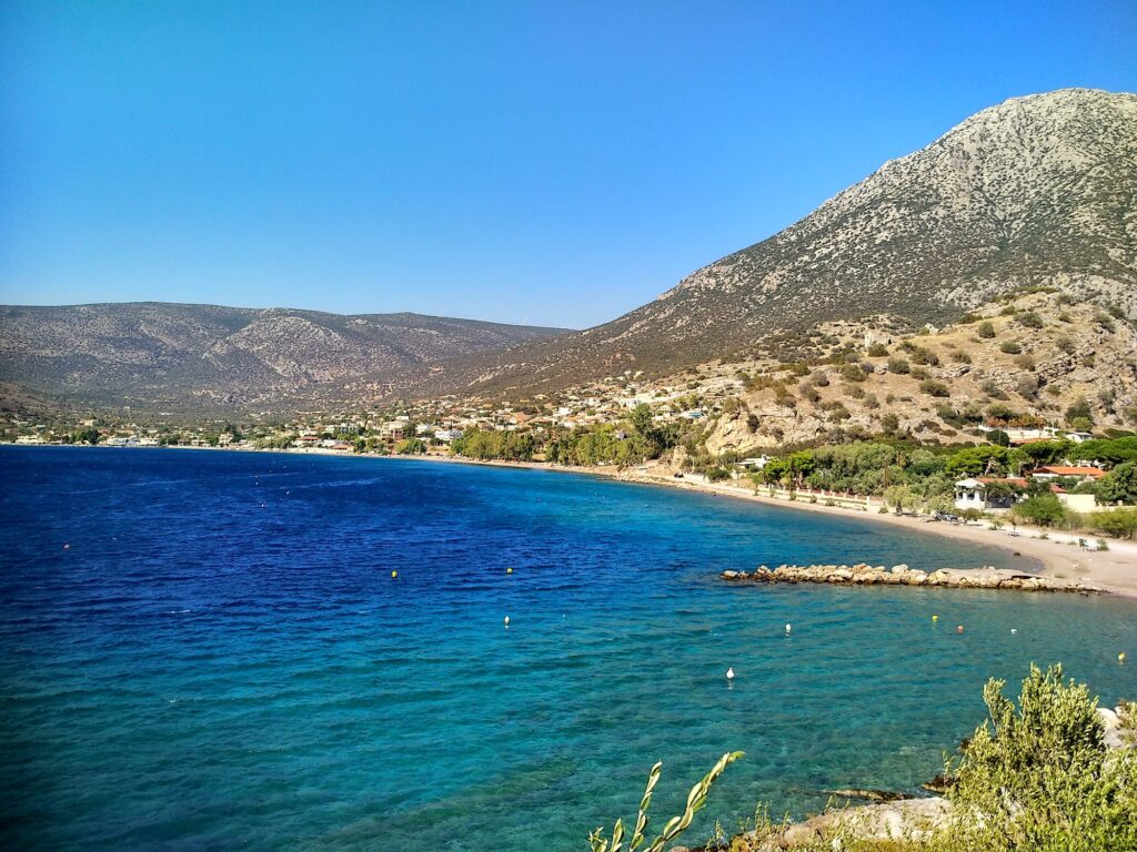
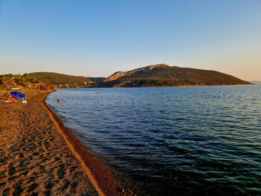
The beach itself is a stretch of small pebbles and coarse sand, the water protected by the surrounding mountains and the enclosing form of the Vathy Bay from the stronger swell and wind that affects more exposed stretches of the Corinthian Gulf. The water stays transparent and calm through most of the season, particularly still in the early morning before any breeze develops, and the clarity in the shallows over the pebbled seabed makes the swimming here noticeably good for visibility. Organised sunbeds and umbrellas occupy the central section, with free areas alongside them.
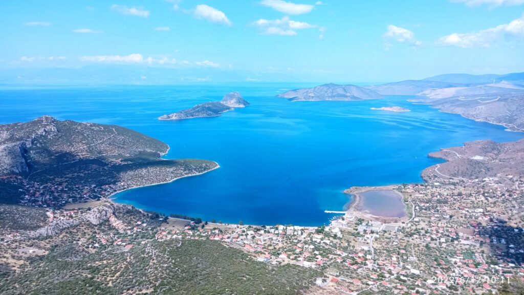
Directly behind the coastal strip lies the Aliki Salt Lake, a natural feature that has been part of the landscape here since antiquity — the salt production that the lake once supported was one of the local economic resources noted in ancient sources alongside the fishing grounds of the Corinthian Gulf. The therapeutic use of the lake’s mud in summer is a genuine local practice rather than a marketing invention: visitors dig into the shallow margins and apply the dark sediment, sitting in the sun before rinsing off in the sea. I would not overstate the wellness framing, but the practice exists and has a long precedent here.
The Fortification Walls of Siphae: Still Visible Above and Beyond the Beach
The ancient walls of Siphae run from the Alyki beach area up toward Mount Korobili, and the upper sections of the fortress are visible from the beach looking south and east. A footpath with steps leads up to the acropolis, where the ashlar masonry of the 4th-century circuit stands in reasonable condition — the preservation owing partly to the remoteness of the site and partly to the use of local grey limestone that weathers well. The two monumental gates of the lower circuit were designed to accommodate artillery including catapults, giving the fortifications a specifically military character appropriate to a site that controlled both a harbour and the approach to inland Boeotia. The walls extended into the sea to protect the anchorage, and the submerged sections are visible in the clear water on calm days.
The site shares the Gulf of Alkyonides coast with several other ancient ports of Boeotia — Krefsis at Livadostra to the west, Korsies at Hostia to the east, and further along the coast the sites that once formed the maritime network connecting Theban and Thespian Boeotia to the Peloponnese and the western Aegean. Walking the coastal strip between these sites with the fortification walls of Siphae visible on the hill above conveys a sense of the strategic geography that made this quiet stretch of coast worth fortifying at all.
The Gulf of Alkyonides and the Context Around Alyki Beach Boeotia Greece
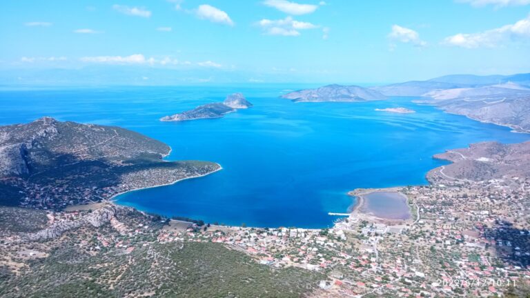
The Gulf of Alkyonides — the inner section of the Corinthian Gulf between the Isthmus of Corinth and the point where the gulf widens — takes its name from the Halcyon, the mythological kingfisher that was said to nest on calm winter seas. The name carries a meteorological accuracy: this part of the gulf benefits from protection from the surrounding mountains that gives it conditions noticeably calmer than the more exposed Aegean coast. The halcyon days of winter — a brief period of unusually calm weather in December — were traditionally associated with these waters, and the quality of the bay in calm summer conditions reflects the same geography.
Plaka Dilesi Beach Boeotia Greece, on the northern coast of Boeotia facing Evia across the South Euboean Gulf, offers a different angle on the same region — the coast there looks across at Eretria rather than south toward the Peloponnese, and the character is accordingly more northern and more exposed to the Euboean channel. The southern Boeotian coast at Alyki, facing the Corinthian Gulf, is the quieter and more historically layered of the two.
The path up to the acropolis of Siphae takes twenty minutes from the beach and arrives at a view that makes the descent back down to the water look genuinely small against the scale of the mountains behind and the gulf spread out below. Stand at the gate towers of the 4th-century BC circuit and look out toward where the ancient anchorage would have been, now partly submerged, and the detail that Pausanias visited with locals who pointed out exactly where the Argo had anchored carries a different weight than it does read from a page. The tradition was fourteen centuries old when he recorded it. The walls were already two centuries old when Pausanias saw them. The gulf has not moved.
Map
Sorry, no records were found. Please adjust your search criteria and try again.
Sorry, unable to load the Maps API.
Near by places: