
Pelasgia Beach Phthiotis: Gardiki Until 1927
Profile
Pelasgia Beach Phthiotis Greece: A Town Called Gardiki for a Thousand Years Before Anyone Remembered What Came Before
Greece | Pelasgia | Stylida, Phthiotis, Central Greece
The town that calls itself Pelasgia today was called Gardiki for the better part of a thousand years. A Slavic name arrived with the invasions of the 7th century that emptied the earlier settlement, and Gardiki — meaning “small fortified town” — replaced whatever the Byzantine inhabitants had called the place before. That name lasted from the 11th century until 1927, when the newly consolidated Greek state began the process of returning Hellenic names to places that had drifted away from them, and the settlement received its current designation: Pelasgia, after the Pelasgians, the pre-Greek inhabitants of Thessaly and much of mainland Greece, the people whose presence Strabo described as extending “throughout the whole of Hellas, and especially by the side of the Aeolians in Thessaly.” The ancient city of Larisa Kremaste — which Strabo also called Larisa Pelasgia — sits 2 kilometres north of the town, its acropolis visible on the hill.
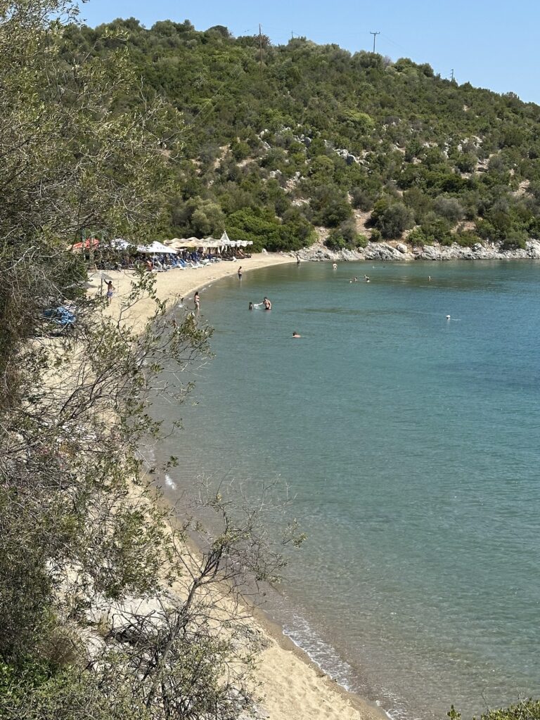
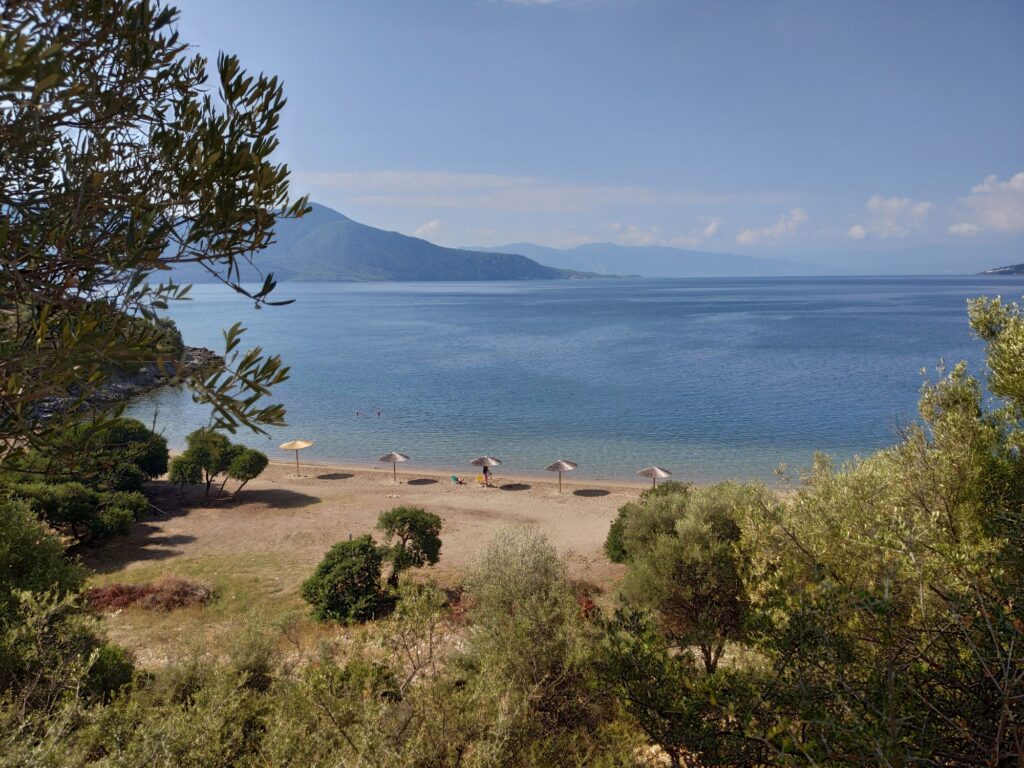
The beach at Pelasgia sits in the small Agios Georgios bay on the northern shore of the Malian Gulf, the same enclosed gulf whose western entrance was controlled at Thermopylae by the Spartan rear-guard of Leonidas in 480 BC. The Persian fleet mustered in these same waters before that engagement; the landscape of the Malian Gulf is, in that sense, one of the most historically freighted stretches of sheltered sea in the entire Aegean, even if nothing about its northern shoreline now suggests the events that played out on and around it. The beach itself is quiet, modest in scale, and would attract little attention if it did not sit in ground this layered.
Getting to Pelasgia Beach Phthiotis Greece: The Athens-Thessaloniki Road, Then Down to the Gulf
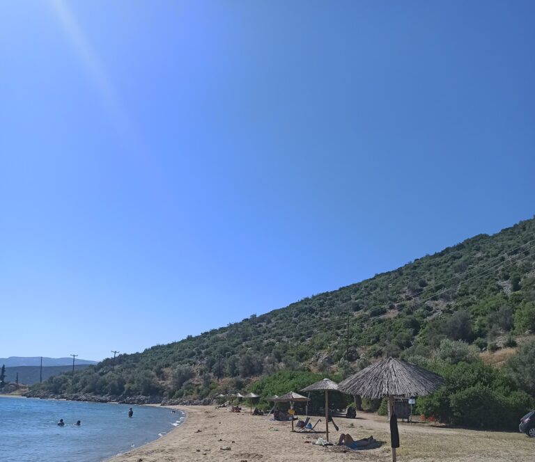
The main Athens-Thessaloniki motorway passes close to Pelasgia, and the beach is frequently described as a practical stop between the two cities for drivers who want a swim rather than a roadside break. The national road runs noticeably close to the beach itself — traffic is a consistent background presence rather than a distant abstraction — which is one honest reason the beach functions better as a stop than as a destination requiring a long journey specifically to reach it.
From Lamia, the regional capital of Phthiotis roughly 35 kilometres northwest, the drive to Pelasgia covers about 30 kilometres on the coastal road south toward Stylida and the Malian Gulf. From Stilida, the access is shorter still. A parking area sits near a small church above the beach, and the walk from the car to the water takes three to five minutes.
Pelasgia Beach Phthiotis Greece: Sandy Bay, Tree Shade, a Fishing Harbour Nearby
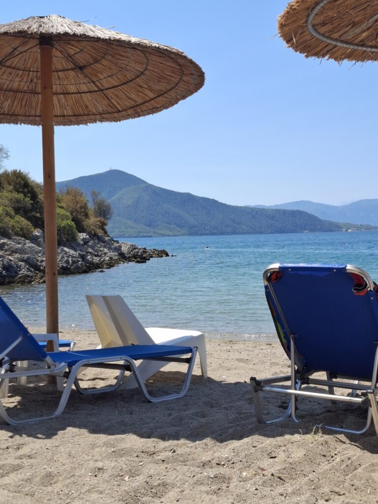
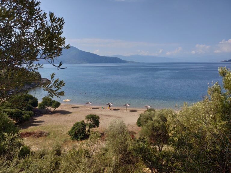
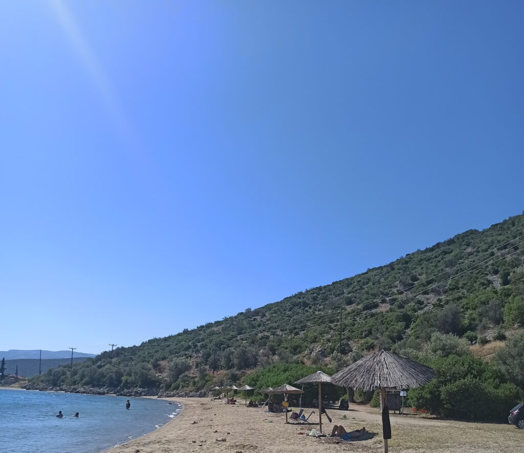
The beach is sandy and small, the water sheltered inside the bay and calm enough to be suitable for children, the tree cover providing natural shade in addition to the umbrellas available to rent. Showers and changing rooms are on site, and a canteen provides drinks and food without needing to leave the beach. The nearby fishing harbour — a short walk from the sand — has a small taverna serving fresh catch, and the combination of swim and meal at the harbour is the activity most often paired with a visit here.
The bay is quiet by the standards of most Attica or Peloponnesian beaches; the northern Malian Gulf coast is described by the local accounts that compare it most directly as a region that generally lacks outstanding beaches, which makes Pelasgia a practical rather than spectacular choice. Dolphins appear occasionally in the surrounding waters, a detail that comes up consistently enough to be a real rather than merely hoped-for feature of the place.
Larisa Kremaste: The Ancient City That Stood Two Kilometres North
The acropolis of Larisa Kremaste sits on the hill 2 kilometres north of the modern town, its walls visible from the surrounding plain. Strabo mentioned it in his Geography as Larisa Pelasgia, identifying it with the ancient Pelasgian territory that extended from the Peneios River to Thermopylae and as far as the Pindus Mountains. The city functioned until the early Byzantine period before the Slavic invasions of the 7th century depopulated it, and the ruins that remain represent the occupation of a site that was active across antiquity through late antiquity — a span of more than a thousand years.
The connection between the ancient city and the modern beach is simply geographic rather than archaeological in any formal sense: the beach sits at the edge of the same coastal territory the ancient city controlled. No formal excavation or public site exists at Larisa Kremaste in the conventional tourist sense, but the walls and traces of the ancient circuit are visible on the hill, and the walk from the beach up to the acropolis is possible for anyone who wants to connect the two.
Thermopylae and the Malian Gulf Context
Thermopylae, where the Spartan and allied forces held the Persian advance in 480 BC until a mountain path was revealed and the position outflanked, sits about 20 kilometres northwest of Pelasgia at the western narrows of the Malian Gulf. The Persian fleet under Xerxes anchored in the Malian Gulf while the land battle was fought at the pass, and storms in the gulf that preceded the engagement cost the Persian navy significant losses before a ship was lost to the Greek fleet. Swimming in the gulf today, with those mountains visible at the western end and Evia across the water to the southeast, gives the enclosed geography of the Malian Gulf an immediacy that maps do not quite convey.
The monument to Leonidas and the famous inscription — “Go tell the Spartans, wayfarer” — are at the Thermopylae site, where the coastal road passes directly through what was the battlefield. The road now runs close to where the ancient shoreline was, since the sea has retreated several kilometres from its position in antiquity due to sediment deposited by the Spercheios River. The geography at Pelasgia is less altered; the northern gulf shoreline has changed less dramatically than the area around the pass itself.
Alyki Beach Boeotia Greece and Paralia Saranti Beach Boeotia Greece lie on the opposite shore of the Gulf of Corinth, a different body of water from the Malian Gulf but carrying its own accumulated history along a coast that anyone driving between Athens and Lamia passes close to. The Malian Gulf itself, which Pelasgia Beach sits on, connects to the wider Aegean through the channel between the northern tip of Evia and the mainland coast of Phthiotis — the same channel where Kavos Beach on the Lichada peninsula, covered separately, faces the islands formed when an earthquake changed the land in 426 BC.
The beach at Pelasgia is best understood as part of a landscape rather than as a destination that stands alone. The small fishing harbour, the ancient walls visible on the hill to the north, the enclosed water of the Malian Gulf, the motorway hum in the background, and the practical quiet of a bay that few people make a specific effort to reach — these things together describe a place that rewards arrival with modest and specific pleasures rather than anything more dramatic.
Map
Sorry, no records were found. Please adjust your search criteria and try again.
Sorry, unable to load the Maps API.