Porto Steniti Beach: Zakynthos' Hidden Fjord
Profile
Porto Steniti Beach: A Bay Named After Two Marys
Greece | Zakynthos | Ionian Islands | Aegean Coast
The mountain village closest to Porto Steniti, Maries, takes its name from two women named Mary, Mary Magdalene and Mary of Klopas, and local tradition holds that Mary Magdalene’s ship once anchored at nearby Porto Vromi, the same small harbor most boat trips to Porto Steniti now depart from. A footprint said to be hers is still pointed out on a rock along that shore, and a fifteenth-century church dedicated to her stands in the village itself. I hadn’t expected a fjord known mainly for underwater visibility to sit this close to a story that old, but the whole western edge of Zakynthos seems to layer its geology and its legends without much concern for which one visitors came for.
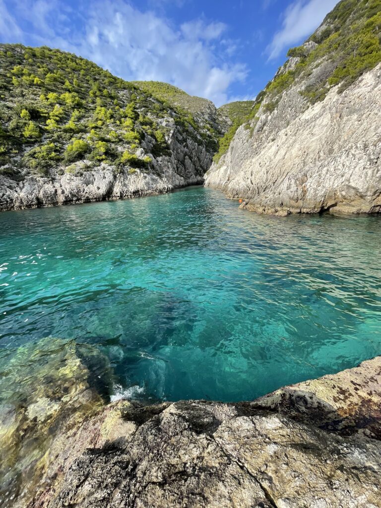
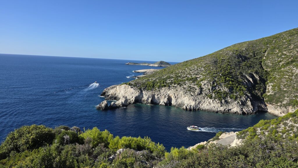
Porto Steniti itself is barely sixty meters of shoreline, tucked into a narrow inlet carved through white cliffs, and reaching it, by any of the three available methods, takes considerably more effort than the length of the beach itself would suggest.
Deep, Still Water in a Narrow Rock Channel
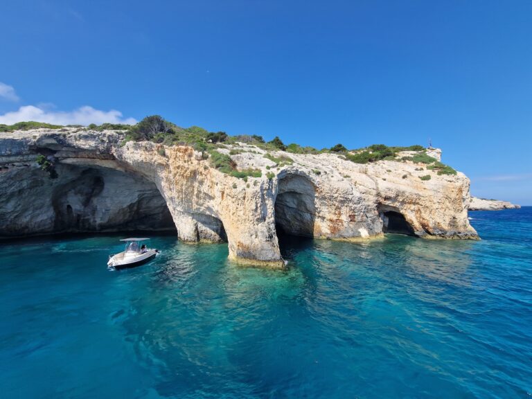
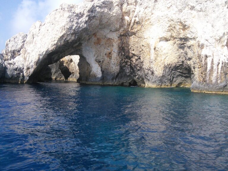
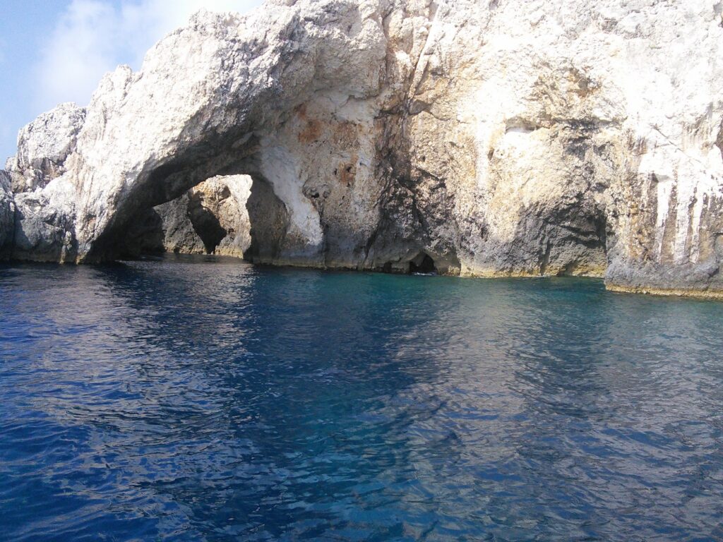
The water at Porto Steniti turns from a bright turquoise at the shoreline to a deep indigo within just a few meters, and the bay’s narrow, protected shape keeps it close to mirror-still even when the open Ionian beyond the entrance is choppier. That stillness comes paired with real depth close to shore, deep enough that I wouldn’t recommend this particular cove for young children or inexperienced swimmers, and getting back out of the water over the rocks took more care than I expected on my first visit. Small sea caves and underwater tunnels flank the narrow mouth of the bay, and the visibility inside them was some of the clearest I found anywhere on this stretch of coast, well suited to snorkeling for anyone comfortable in deeper water.
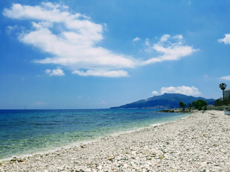
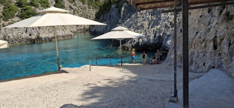
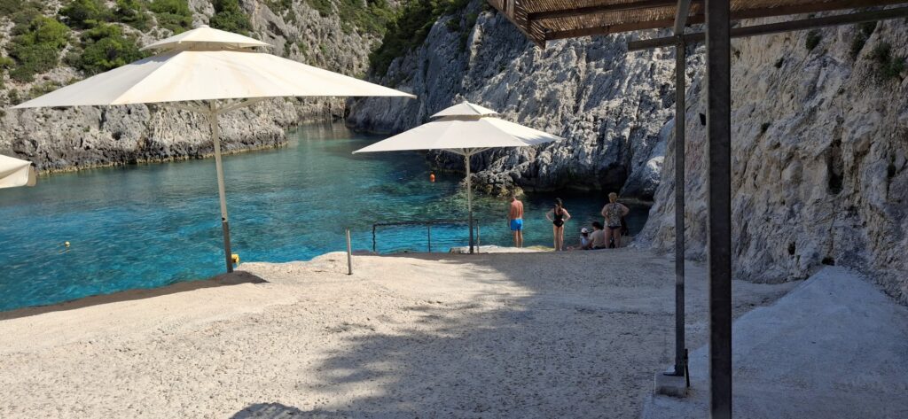
The shore itself offers little beyond small patches of white pebbles and smooth rock platforms, and I’d recommend aqua shoes without hesitation, both for the descent to the water and for navigating the rocky entry once you’re in.
No Bars, No Shade, and Nothing Beyond What You Bring
Porto Steniti has essentially no infrastructure of any kind, no beach bars, no rented sunbeds, no tavernas anywhere near the water. I arrived my first time with a full bag of my own supplies and was glad of it, since there’s genuinely nothing to buy once you’re down at the cove itself. Shade is limited to whatever the cliffs themselves provide depending on the hour, and I found the early morning light, before the sun climbs high enough to reach directly into the narrow inlet, both the coolest and quietest time to visit.
Given the complete absence of any organized facilities, this counts as an unorganized beach under Greek regulations, meaning dogs are permitted here provided they stay leashed once out of the water, and I saw more than one visitor bring a dog along on the hiking route down, seemingly unbothered by the descent that had me watching my footing carefully.
Arriving by Boat From Porto Vromi
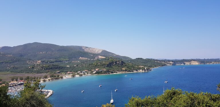
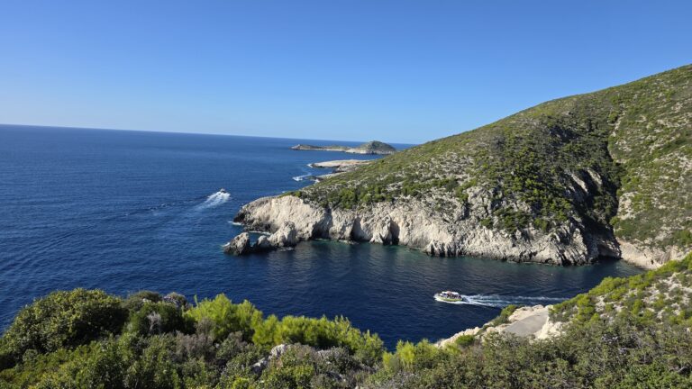
The most commonly recommended way to reach Porto Steniti is by small boat, either a rented motorboat or a hired skipper, departing from Porto Vromi roughly fifteen minutes away by water. I took this route on one visit, and arriving from the sea, watching the cliffs open into the narrow channel from outside, gave a genuinely different first impression than descending the trail on foot. Several of the boat tours that stop at the famous shipwreck cove further along the coast also include a stop here, which explains why the water sometimes fills with small tour boats later in the morning.
Driving the Unpaved Road From Maries
For anyone arriving by land, the route runs roughly 30 kilometers from Zakynthos Town toward Maries, after which a winding, largely unpaved road continues toward the coast. I found a standard rental car more than capable of the paved portion, but the final stretch turns rough enough that higher clearance made a real difference, and several other visitors I spoke with had simply parked further back and walked the last section rather than risk a low-clearance car on the gravel.
Hiking Down From the Mountain Ridge
A marked trail also leads down from the ridge above, a genuinely demanding hike that rewards the effort with panoramic views over the Ionian before dropping toward the cove. I wore sturdy shoes and carried more water than I thought I’d need, both of which turned out to be reasonable precautions given how exposed the trail is to direct sun for most of its length.
Parking Before the Tour Boats Arrive
Parking at the end of the dirt road is informal and genuinely limited, often fitting only a handful of cars, and arriving before ten in the morning made the difference between finding a spot near the top of the descent and having to walk considerably further from wherever space was left. That early arrival also meant having the narrow bay largely to myself before the first small tour boats started arriving from Porto Vromi.
Comparing Porto Steniti to Zakynthos’ More Accessible Beaches
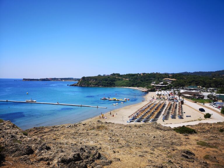
Porto Steniti sits about as far from Plaz EOT Zakynthos as two beaches on the same island reasonably can, one an organized, tree-shaded facility a short walk from the capital, the other a wild, narrow fjord demanding a boat trip or a genuine hike to reach. For families weighing options on this island, that contrast matters more than almost anything else about either beach.
Elsewhere in the Ionian, Milos Beach Lefkada asks for a similar kind of commitment, though its access runs over a hillside trail from an actual village rather than through unpaved mountain roads. For a comparably remote approach involving genuinely difficult terrain, Vitali Beach Andros offers a useful parallel too, its final stretch a bumpy dirt track much like the descent toward Porto Steniti, though set in the Aegean rather than the Ionian.
Watching the Cliffs Catch the Late Afternoon Light
By late afternoon, the tour boats from Porto Vromi had mostly cleared out, and the cliffs surrounding Porto Steniti began catching a warmer light as the sun dropped lower, the narrow channel emptying back into the kind of stillness that made the whole effort of reaching it, by whichever route, feel entirely worth repeating.
Map
Sorry, no records were found. Please adjust your search criteria and try again.
Sorry, unable to load the Maps API.
Near by places: