Tolo Beach Nafplio: Fine Sand, Islands, and Agamemnon


Profile
Tolo Beach (Psili Ammos), Nafplio: The 2km Sandy Peloponnese Shore Named Fine Sand, Founded by Cretan Refugees in 1834, Where Agamemnon’s Fleet Allegedly Departed for Troy and Three Island Secrets Face the Harbour
Greece | Tolo | Argolida, Peloponnese
Tolo has the largest fishing fleet in the Argolida. The town was formally established in 1834, the year after Ioannis Kapodistrias arrived at Nafplio as the first Governor of independent Greece, when the area was designated a settlement for Cretan refugees who had fled Ottoman rule. They named it Minoa — after the ancient Minoan civilisation whose memory the Cretan settlers carried with them. The name Tolo eventually prevailed, from the ancient city that Homer mentions in the context of Asini — the seaside extension of the ancient settlement whose ruins are still visible at Kastraki beach on the western edge of the resort.
The tradition that Agamemnon gathered his fleet here before the departure for Troy is older than the medieval chronicles and older than the Byzantine fortress whose remains stand on Romvi island in the bay. Whether it is historically verifiable is a different question. Whether the geography supports it — a sheltered bay with a natural harbour, at the heart of the Argolid kingdom, equidistant from Mycenae and the sea — is undeniable. Tolo is the kind of place where the landscape makes the mythology plausible.
During the Second World War, the German and Italian naval Admiralty was established in Tolo — the same sheltered bay that suited ancient fleet departures suited 20th-century military command. The history of the town runs from mythological fleet assembly through Byzantine island fortresses, Ottoman-era exile, Cretan fishermen refugees, Axis occupation, and into the summer resort that receives tens of thousands of European visitors annually. The beach itself is called Psili Ammos — fine sand — which is exactly what it is.
Getting There: 10km South of Nafplio, 2 Hours From Athens, Bus From Nafplio Every 30 Minutes
From Athens, take the national road toward Corinth and Nafplio — approximately 2 hours, 140 kilometres. From Nafplio, the road toward Epidaurus leads south; after 1 kilometre a roundabout offers exits for Tolo, Epidaurus, and Athens — take the Tolo exit and continue through Asini village. The total distance from Nafplio is 10 kilometres, approximately 15 minutes.
From Nafplio bus station, the local KTEL service runs to Tolo every 30 minutes throughout summer. The beach is the final stop.
Parking is available along the main beach road and in several private lots near the centre of the resort.
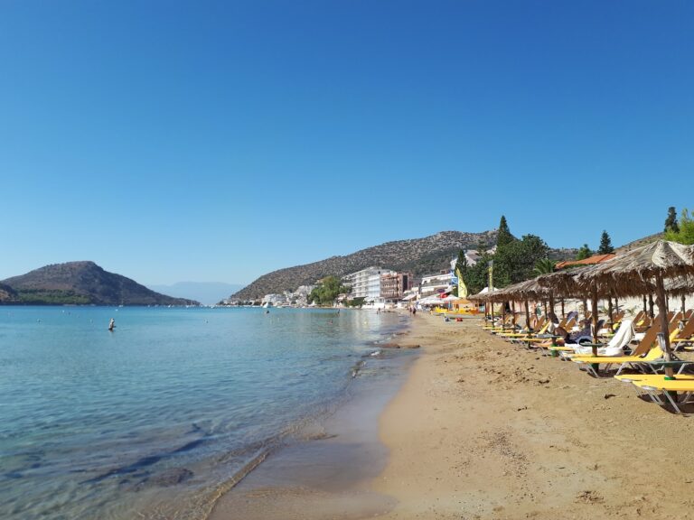
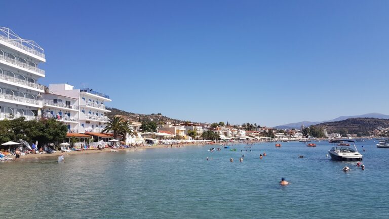
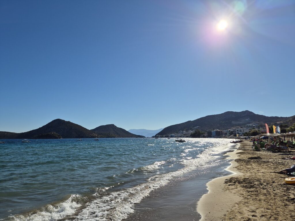
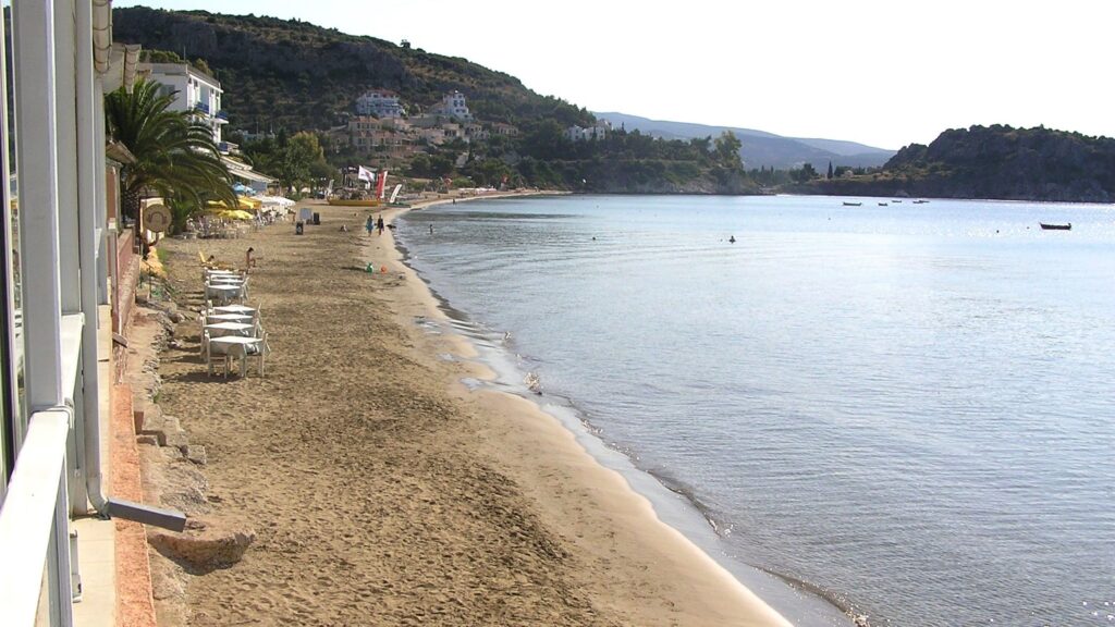
The Beach: 2km of Fine Sand, Shallow Gradual Entry, Calm Bay, Organised With Full Facilities
Psili Ammos beach runs 2 kilometres from the town centre to the headland — long by the standard of the Argolid coast, where most beaches are enclosed coves. The sand is fine and golden, the entry gradual, the bay almost wave-free because of the islands offshore and the enclosing hills. The specific shallowness — walking 30 metres before the water reaches waist height — is the primary family-beach quality that makes Tolo one of the most recommended family resorts in the Peloponnese.
The organised sections along the beach have sunbeds, umbrellas, showers, changing rooms, and lifeguards in season. The beach bars and tavernas line the road directly behind the sand. The further from the town centre, the less commercial the beach atmosphere becomes.
The Three Islands: Koronisi, Romvi, and Daskalio — Each With a Specific Story
Three uninhabited islands face the Tolo harbour, and each has a distinct identity.
Koronisi is the closest to the port — a small green island with the chapel of Agios Apostoloi (the 12 Apostles) at its peak, used for weddings and baptisms and described as particularly photogenic at sunset. Pedalos and small boats reach it in minutes from the beach.
Romvi — the larger, boomerang-shaped island to the south — is a natural bird reserve with a small pine forest, and contains Byzantine antiquities from the 6th to the 10th century AD. It is also called the “Isle of Aphrodite” in some sources, though the origin of that name is unclear. The medieval fortress walls on Romvi are the remains visible from the mainland.
Daskalio is the smallest, hidden behind Romvi and invisible from the shore. Its name means “teacher’s island” — daskalo is the Greek for teacher — because it was used as a secret school during the Ottoman period, when education in Greek was forbidden. Children were secretly taught here by priests. The tradition of hidden schools (kryfa grammata — secret letters) in the Ottoman period is one of the most specific pieces of Greek cultural memory, and the naming of an island for the practice is unusual even among the many locations where the tradition is commemorated.
The Trawler Festival: Late September, Fresh Fish, Local Wine, the Fishing Fleet Back at the Dock
In late September, the Cultural Association of Tolo holds the traditional Trawler Festival. Fishermen bring their catch directly to the dock, roasted and fried fish are served with local wine, and music and dancing continue through the evening. The festival is the specific late-season reason to visit Tolo after the summer crowds have returned to Athens and northern Europe, when the town recovers the fishing village character beneath the resort surface.
The Peloponnese Archaeological Circuit: Nafplio, Epidaurus, Mycenae, Tiryns — All Within an Hour
Tolo is positioned at the centre of one of the densest concentrations of ancient sites in the world. Nafplio — the first capital of independent Greece, with the Palamidi fortress (999 steps), the Bourtzi island castle, and one of the finest neoclassical old towns in the Peloponnese — is 10 kilometres north. Epidaurus — the ancient sanctuary of Asklepios with the best-preserved ancient theatre in Greece — is 30 kilometres northeast. Mycenae — the citadel of Agamemnon, the Lion Gate, the Treasury of Atreus — is 35 kilometres northwest. Tiryns — the Mycenaean fortified palace with the most massive walls in the ancient world — is 15 kilometres north.
The day cruise from Tolo port to Hydra and Spetses departs at 8:45am for visitors who want the island experience without committing to a ferry from Athens. The maritime distance to Hydra is approximately 25 nautical miles — a short excursion from a shore that, in myth, watched Agamemnon’s ships leave for a longer voyage.
For a purely beach experience on the same coast, Paralia Katerinis Beach Greece in Pieria is the northern Aegean equivalent of Tolo’s sheltered family beach model — both Blue Flag, both in enclosed bays, both oriented toward families — though separated by the length of mainland Greece.
Ancient Asine and Kastraki Beach: The Archaeological Site at the Western Edge of the Resort
Ancient Asine — the site mentioned by Homer in the Iliad as one of the Argive cities that sent ships to Troy — has its ruins visible at Kastraki, the small pebble beach at the western edge of Tolo resort. The ruins are from the Bronze Age through the Hellenistic period. The Swedish archaeologist Otto Frödin conducted significant excavations here in the 1920s, and the site is associated with the Nobel Prize-winning Swedish poet Gösta Werner, who wrote the poem The King of Asine about its desolation. Kastraki beach itself has no facilities — a small pebble beach beside the ruins, for visitors who want the archaeological layer alongside the swimming.
Tolo Beach (Psili Ammos) near Nafplio in the Peloponnese is the 2-kilometre fine sand shore 10 kilometres south of the first capital of independent Greece — settled by Cretan refugees in 1834 (named Minoa, then Tolo), the largest fishing fleet in Argolida, the tradition that Agamemnon departed from here for Troy, three islands in the bay (Koronisi with the wedding chapel, Romvi the bird reserve with Byzantine antiquities, Daskalio the secret school island), the Trawler Festival in late September, Epidaurus 30km, Mycenae 35km, Nafplio 10km, day cruises to Hydra and Spetses from the port, and Kastraki pebble beach with the Ancient Asine ruins at the western edge of the resort.
Drive south from Nafplio. Walk the 2km from the town centre to the headland. Take the pedalo to Koronisi for the sunset from the chapel.


Map
Sorry, no records were found. Please adjust your search criteria and try again.
Sorry, unable to load the Maps API.