Stavros Beach Strymonic Gulf: Forest to the Sea
Profile
Stavros Beach Strymonic Gulf Greece: The Only Plane Tree Forest in the Country That Reaches the Sea
Greece | Stavros | Thessaloniki, Central Macedonia
The claim that the Platanodasos behind Stavros Beach is the only plane tree forest in Greece that actually reaches the sea is one of those assertions that becomes more interesting the longer you sit with it. The Greek mainland has no shortage of plane trees — they line rivers, shade village squares, cluster around mountain springs across most of the country — and yet the specific configuration of a dense forest of them growing all the way to a shoreline, shade canopy extending over beach sand, apparently does not occur anywhere else in the country. Whether or not this is precisely true, it is repeated consistently enough by the municipality and the regional tourism body that it has become part of how the town understands its own identity. Standing under the trees with the Strymonic Gulf visible through the trunks, the claim at least makes visceral sense.
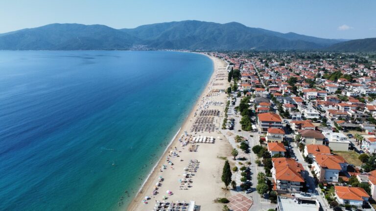
The beach behind the forest, or more accurately the three beaches that together constitute the Stavros coastal strip, has held Blue Flag certification for decades. The certification is consistent enough to have become a baseline assumption rather than an annual achievement here, though one honest point about the water deserves mention: Stavros sits at the corner where the Strymonic Gulf turns, and the clarity of the water depends on wind direction. A northern or northwestern wind brings genuinely crystalline conditions; other directions can produce a cloudier surface that is still perfectly clean but less visually striking. This is a function of the currents at this particular point in the gulf rather than any water quality issue. The best swimming, in visibility terms, is on the mornings after a northerly night.
Getting to Stavros Beach Strymonic Gulf Greece: The Egnatia Odos and the Makedonika Tempi Valley
The drive from central Thessaloniki covers approximately 80 kilometres and takes 55 to 60 minutes under normal conditions, the Egnatia Odos (A2/E90) motorway providing a direct eastward route toward Kavala. The exit is marked for Rentina/Stavros/Asprovalta, and the road that follows it descends through the Makedonika Tempi valley before reaching the coast.
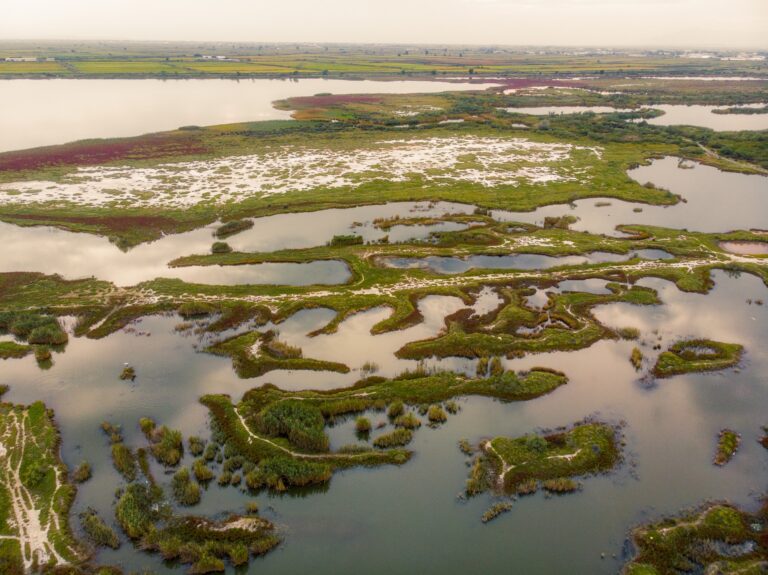
The Makedonika Tempi is worth the description it deserves rather than a passing mention. Flanked by the village of Rentina to the west and the Stavros crossing on the national road, the valley covers 650,000 square metres of riverine forest protected under the international Ramsar Convention, crossed by the Rihios River. The vegetation includes enormous plane and willow trees, limes, elm trees, ivy climbing so thick through the plane canopy that it forms what local descriptions call a single merged mass of green. This is the forest that gives the coastal Platanodasos its specific character — the same forest type, the same riverine logic, arriving finally at the sea where the trees end and the sand begins.
The Castle of Rentina, visible from the valley road, is a hilltop fortress whose oldest remains date to the 4th century BC. The Egnatia Odos passes within sight of it, and arriving at Stavros Beach via this approach rather than the coastal route means carrying the weight of that accumulated landscape by the time the sea appears.
Stavros Beach Strymonic Gulf Greece: Three Beaches, the Forest Between Them and the Water
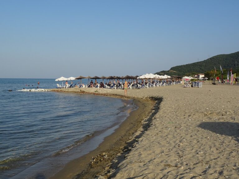
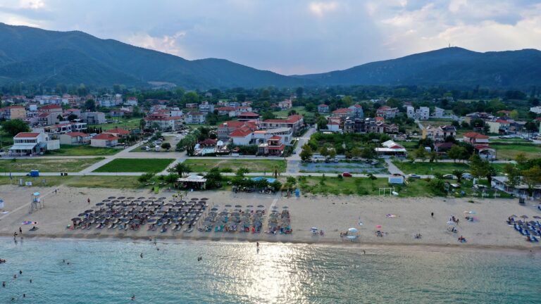
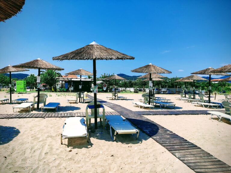
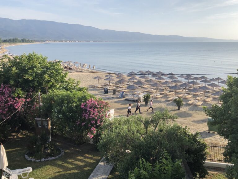
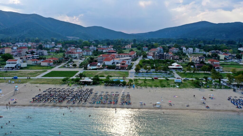
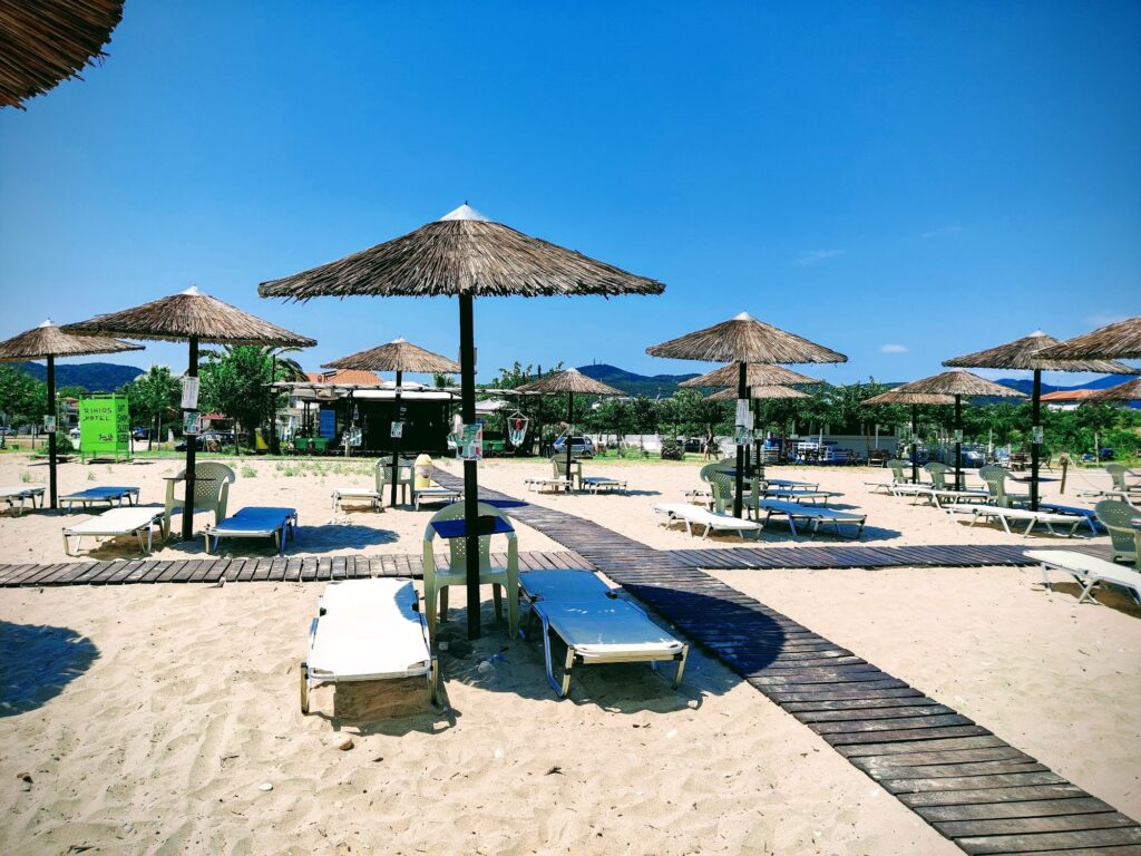
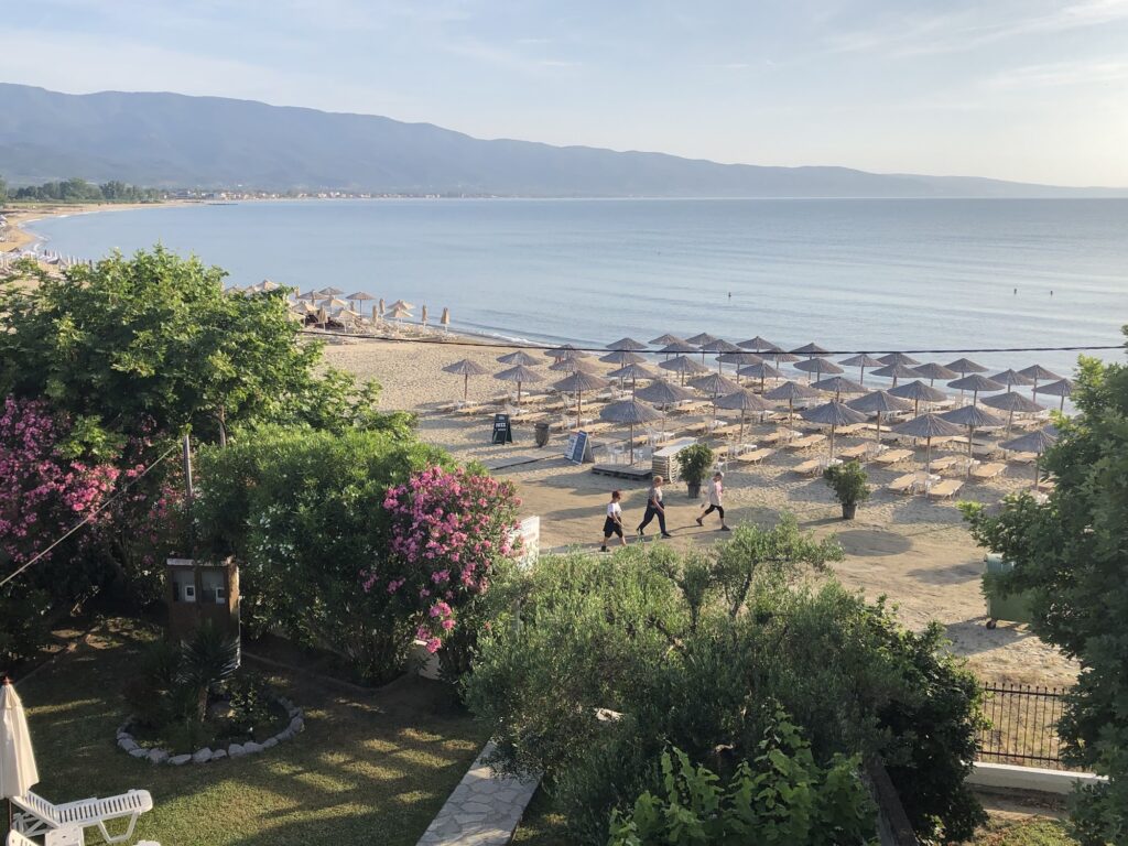
The town maintains three beaches — the best section, by most consistent accounts, occupying the new part of town to the northwest of the centre, where the sand is widest and the shade from the Platanodasos most accessible. Sunbeds and umbrellas are available through the beach bars managing organised sections, and the shaded area under the plane trees provides free natural shade that a small number of other Greek beaches can offer in the same proximity to the water.
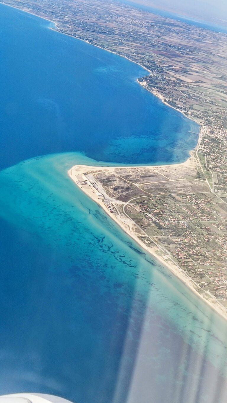
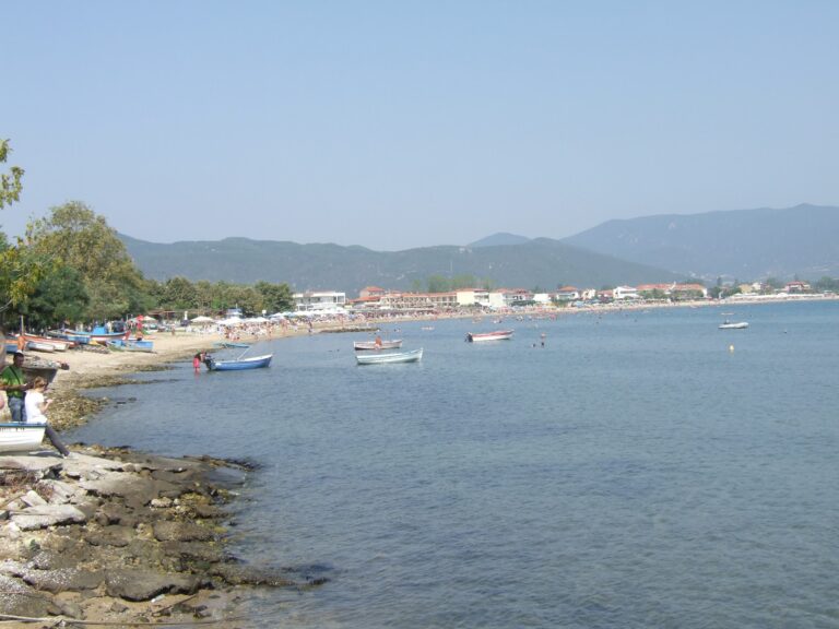
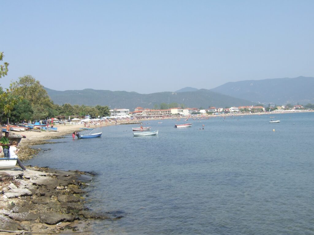
The water in the three beach areas is shallow enough over a sandy seabed to function as a natural paddling pool for young children, the gradual slope producing a lengthy shallow entry rather than an abrupt drop. Swimming at the furthest point from shore, where the water deepens, the Cholomon Mountains are visible inland behind the town, and on clear days the outline of Mount Athos on the Chalkidiki peninsula appears across the gulf.
The Ancient Stagira and What It Has to Do With Aristotle
The modern town of Stavros sits close to the site that several 19th-century geographers identified with Stagira, the ancient city founded in 656 BC as a colony of Andros from Euboea, originally called Orthagoria, and later known primarily as the birthplace of Aristotle. The identification is not universally settled — the same geographers who proposed it also acknowledged that the name Stavros, meaning “cross,” is common enough across Greece to make it an unreliable anchor — but the physical description of the ancient site fits: a settlement on the south face of a wooded mountain commanding views of Mount Athos and the Aegean, surrounded by extensive remains of Hellenic masonry. Strabo describes Stagira as having a harbour called Caprus and a small island of the same name.
Aristotle himself did not forget his birthplace. When Philip II of Macedon destroyed Stagira, his son Alexander — then Aristotle’s student — had it rebuilt as a specific act of regard for his teacher. The improvement, according to classical sources, was not permanent. The site near modern Stavros has Hellenic substructions still visible across the hillside, though the remains are scattered rather than consolidated in the way of a formal archaeological site.
Lake Volvi, Nea Apollonia, and the Wider Strymonic Gulf
Stavros functions as the eastern anchor of a stretch of coast that extends west toward Asprovalta and Nea Vrasna along the Strymonic Gulf. Nea Vrasna Beach Greece lies along this same coastal corridor, and the context of the wider gulf — the Fort of Vrasna from the 15th century, the ancient settlement of Arethousa, the Agios Lazaros Church — runs through the whole stretch of coast rather than concentrating at any single point.
A short drive inland from Stavros, Lake Volvi is the second largest natural lake in Greece, flanked by the Makedonika Tempi forest to the east and the Forest of Apollonia to the west, with the Nea Apollonia thermal springs nearby. The lake supports hundreds of plant species and functions as a significant wetland in this part of Central Macedonia, and the drive around it from Stavros toward Thessaloniki adds substance to what might otherwise be an uncomplicated coastal day.
The best light for the beach is morning, when the northerly has had the night to clear the water and the plane tree shade arrives at the right angle. The forest between the road and the sea is not metaphor — it is simply there, cooling the air a few degrees before the open sand begins, plane tree roots visible in the ground that is simultaneously forest floor and beach approach. Walk into the trees before the water rather than going straight to the sand. The Cholomon Mountains are behind you the whole time.
Map
Sorry, no records were found. Please adjust your search criteria and try again.
Sorry, unable to load the Maps API.
Near by places: