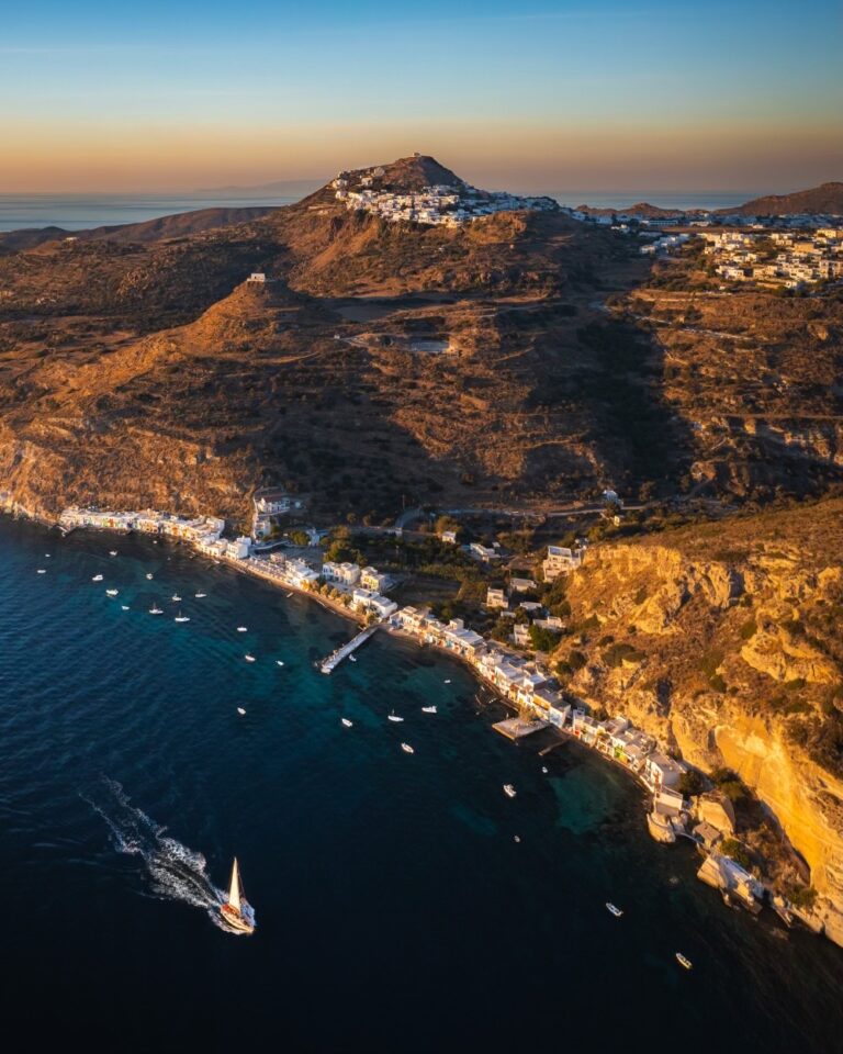
Papafragas Caves Milos: The Volcanic Gorge Beach
Profile
Papafragas Caves Beach, Milos: The 9m Sandy Strip at the Bottom of Three Volcanic Gorges, Named After a Priest or a Pirate Depending on Which Story You Prefer
Greece | Pachaina | Milos, Cyclades
Papafragas is more than just a beach; it is a natural amphitheatre of light and shadow, a place where geology and atmosphere come together and everything feels like it was meant to be, even though nothing is made by people.
The name is disputed. Papafragas was named after the last Frango Papa who used the beach to protect his boat. During the Byzantine era, the beach was used as a launching pad for pirates. An alternative version has a priest called Fragas (papa = priest in Greek) finding safety in the hidden coves. The third version, less romantic, simply links the fragas element to the Greek word for a gap or narrow passage — which is descriptively accurate. All three agree on the pirate use.
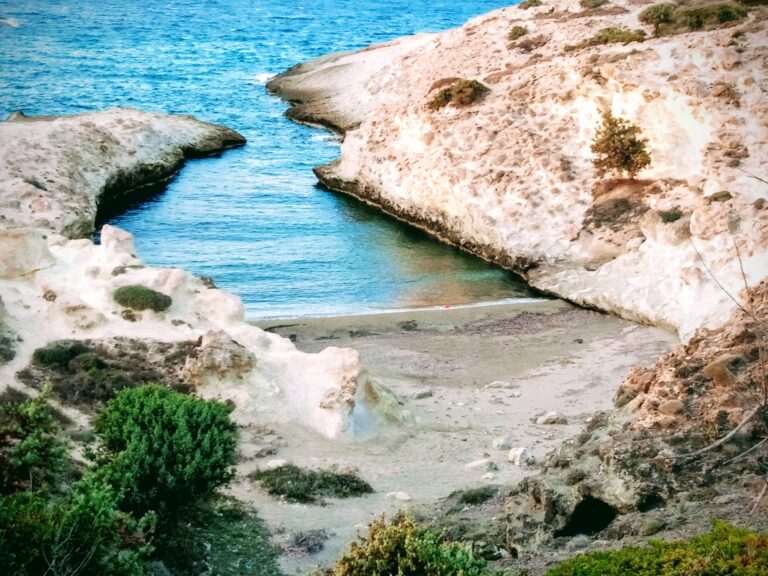
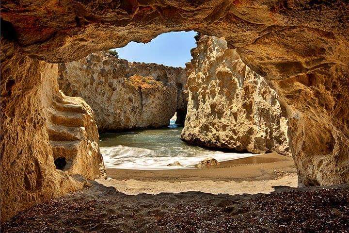
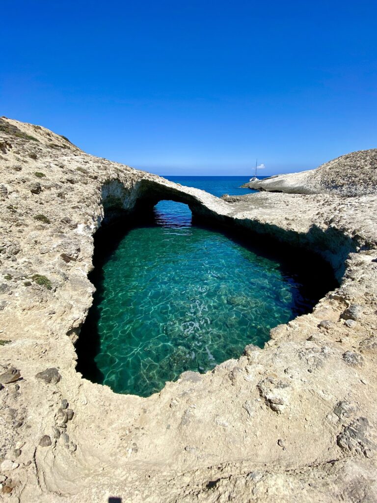
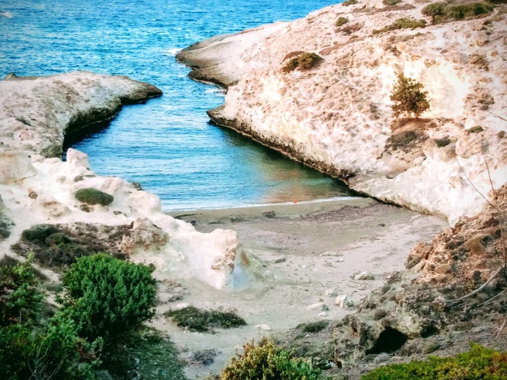
There are three small channels forming natural arches carved in the volcanic cliff. Papafragas beach is a small strip of sand — no more than 9 metres long — with two caves that offer shade. It holds only a few people. From above, the channels look like rectangular pools cut into white rock. The drop from road level to the sand is dramatic enough that your first view of the water from the cliff edge is genuinely startling.
Getting There: 5km From Adamas on the Pollonia Road, Signed Left Turn, Free Parking at the Cliff Edge, Steep Carved Staircase Down
Papafragas is located between Pachaina and Pollonia on the northern side of Milos. Near it are the ruins of the ancient city of Phylakopi. From Adamas, follow the main road toward Pollonia — approximately 5 kilometres. Look for the signs for Papafragas or Phylakopi on the left-hand side. Free parking is available at the cliff edge.
Getting to Papafragas and descending to it are different things. Those who wish to reach the beach must navigate the steep stairs carved into the rock. Elderly individuals and children should exercise caution. Visitors should bring food, water supplies, sun protection, hats, and, most importantly, comfortable closed-toe shoes.
An eerie beach like a cave without a roof that the sea penetrates through a hole in the rocks. You go down a carved staircase into the soft rock but it’s quite steep and you’ll need some help. It’s the sacrifice you have to make to get there.
The Gorges: Three Channels, Two Reach the Beach, Water Changes Colour With the Sun
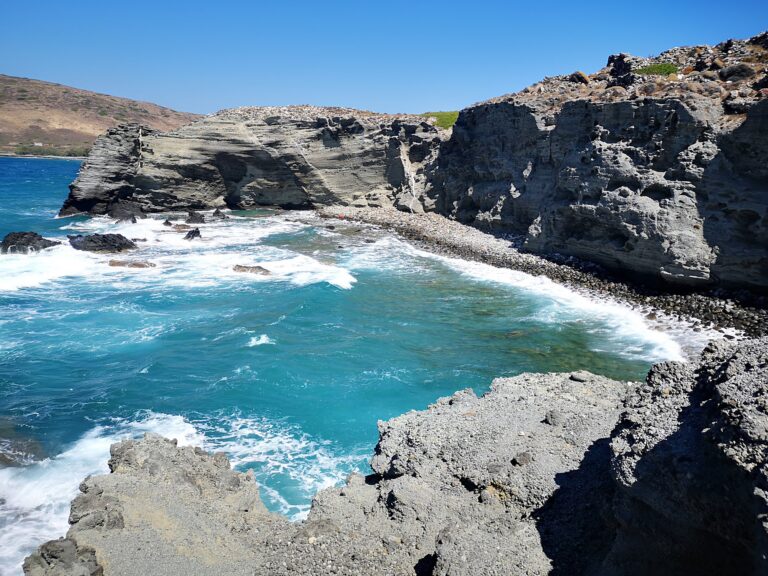
These channels run between white volcanic rock, making a beautiful contrast between stone and water that seems almost too good to be true. The sea changes colour from turquoise to emerald to pale silver depending on where the sun is. The rocks around it are smooth and soft but have hardened over time.
The noon visit timing is the specific light recommendation: because the channel is deep and narrow, the sun only penetrates to the bottom for a few hours around midday. Arriving at noon means the water is lit from above at its most vibrant turquoise. Arriving at 9am means the channel is in shadow.
Two of the channels reach the tiny beach and an impervious path with a narrow and difficult staircase carved out of the white rocks leads to the sea.
No Lifeguards, No Facilities, Meltemi Warning: The Honest Safety Context
It is located in the northern part of the island, so if the Meltemi blows, the northerly wind, don’t go for a swim — just go to see it.
Papafragas is not family-friendly and does not have restrooms, lifeguards, or nearby food.
The swimming — when conditions allow — involves entering through the narrow channel and potentially swimming through the natural arches to the open sea beyond. Swimming through the tunnels into the open sea is a breathtaking experience, but it should only be attempted when the northern winds are calm.
The two caves at the base offer shade — the specific reason the tiny sandy strip manages to be a beach at all in full summer heat.
Phylakopi: The Largest Prehistoric Settlement in the Cyclades, Next Door
A little east of Papafragas, excavations of the ancient settlement of Phylakopi, the largest settlement on the Cyclades, dating back to the Neolithic era, are being carried out. Part of the territory is open to free access and is a unique open-air archaeological park.
Phylakopi was occupied continuously from around 2800 BC to 1100 BC — through the Early Cycladic, Middle Cycladic, and Late Cycladic periods. It had direct connections with Minoan Crete and later with Mycenaean civilisation. The site was excavated by the British School at Athens in 1896–99 and remains one of the most significant prehistoric sites in the Aegean. The free open-air section is accessible by dirt road from the main highway.
The Sarakiniko Lunar Landscape: 2km East
Sarakiniko beach — the white volcanic formations on the north coast that produce photographs that look like a moonscape — is approximately 2 kilometres west of Papafragas on the same northern coast road. The standard north coast Milos programme: Sarakiniko for the landscape and the clifftop views, Papafragas for the channel swim, and Phylakopi for the archaeology — all within 3 kilometres of each other.
Papafragas Caves Beach on Milos is the 9-metre sandy strip at the bottom of three volcanic gorges 5 kilometres from Adamas — steep carved staircase (not for elderly or children, closed-toe shoes required), no facilities, no lifeguards, Meltemi makes the channels unsafe (visit in calm conditions only), arrive at noon for the best light, free parking at the cliff edge, the name from either a priest, a pirate, or the Greek word for a gap, and Phylakopi prehistoric settlement next door.
Drive from Adamas. Park at the top. Descend carefully. Swim when the Meltemi is not blowing.
Map
Sorry, no records were found. Please adjust your search criteria and try again.
Sorry, unable to load the Maps API.
Near by places: