Pachia Ammos Paleochora: The West Beach With Sunsets
Profile
Pachia Ammos (Thick Sand) Beach, Paleochora, Crete: The 1km Blue Flag Sandy West Beach of the Two-Beach Peninsula Town, Where One Beach Can Have Waves While the Other Is Flat
Greece | Paleochora | Chania Prefecture, Southwest Crete
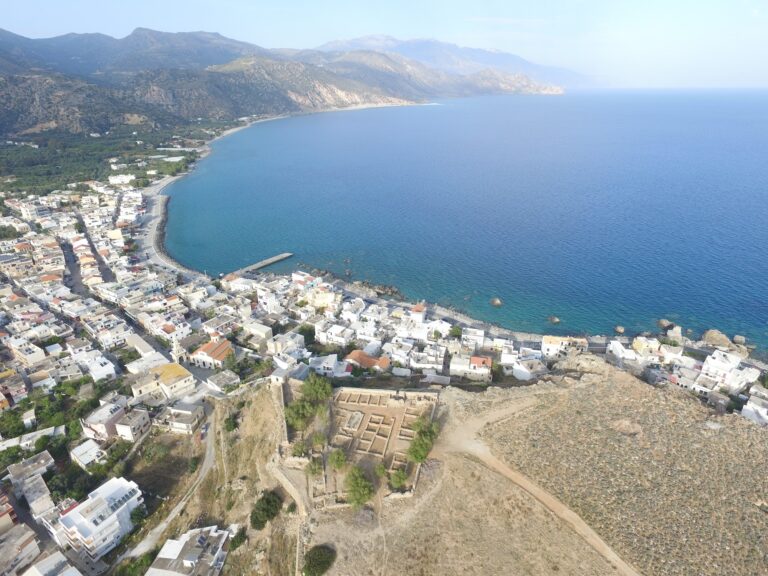
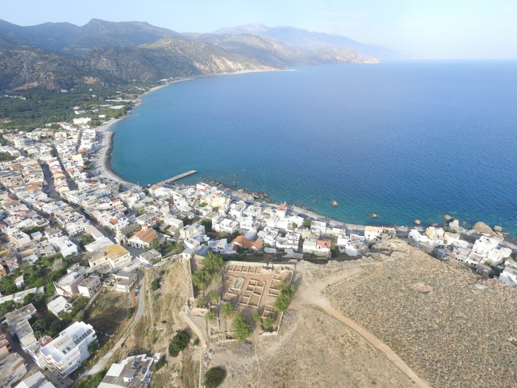
Paleochora is a small town of 2,000 inhabitants that is located approximately 80 km from Chania city and attracts many tourists every year. The village is built on a peninsula next to the ruins of the Venetian castle of Selino that gave its name to the municipality. To the left and the right of the castle lie two extensive beaches: a pebbly beach (Chalikia) to the east and a thick sandy beach (Pachia Ammos) to the west. Due to the opposite direction of each of these two beaches, on the same day, one can have big waves and the other can be calm, making Paleochora the ideal destination for beach lovers.
This is the specific Paleochora quality that the source article understates. The two-beach peninsula geometry is what makes the town work as a beach destination: when the westerly or southerly wind drives waves onto Pachia Ammos, the pebble beach Halikia on the east side is sheltered and calm. When the northerly pushes into Halikia, Pachia Ammos is calm. On rare days when both sides are rough, that is simply a day for the town’s cafes.
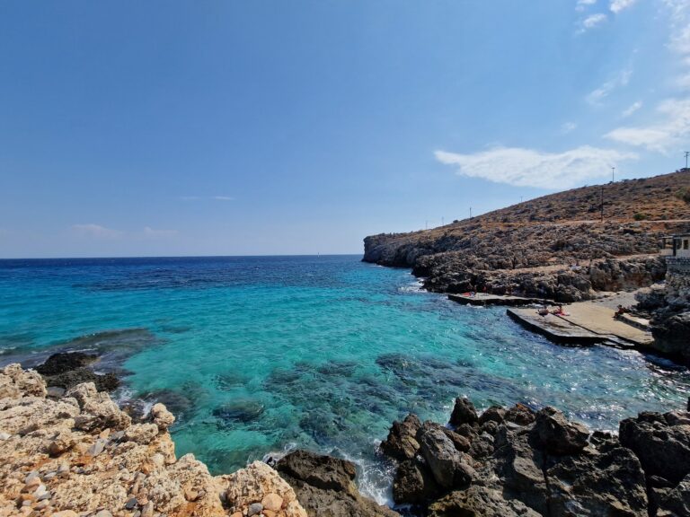
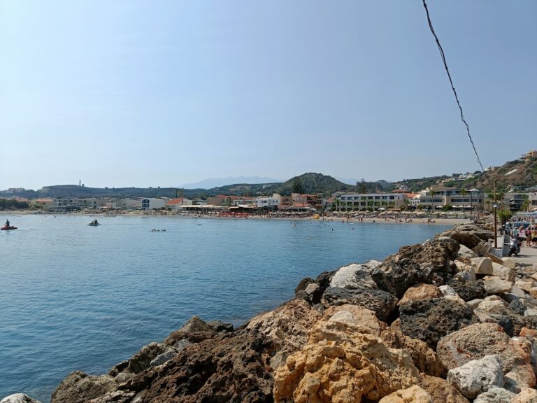
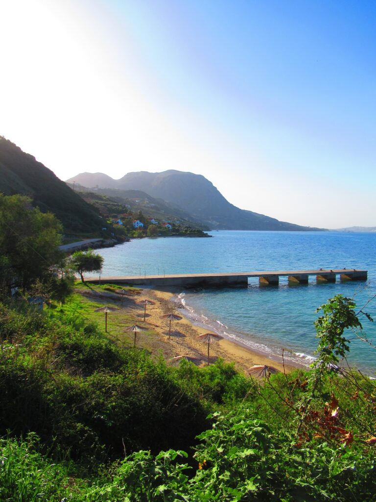
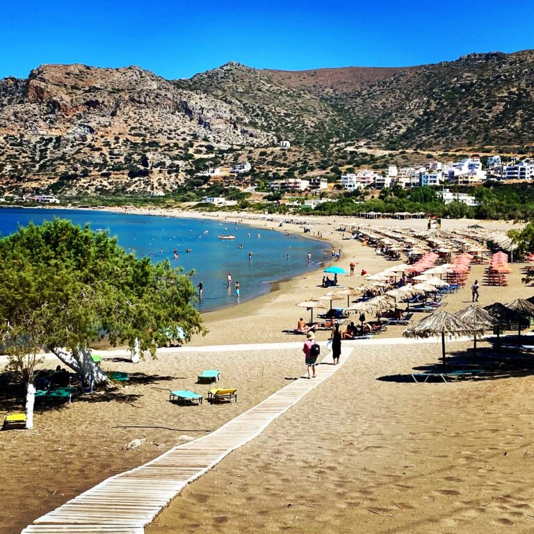
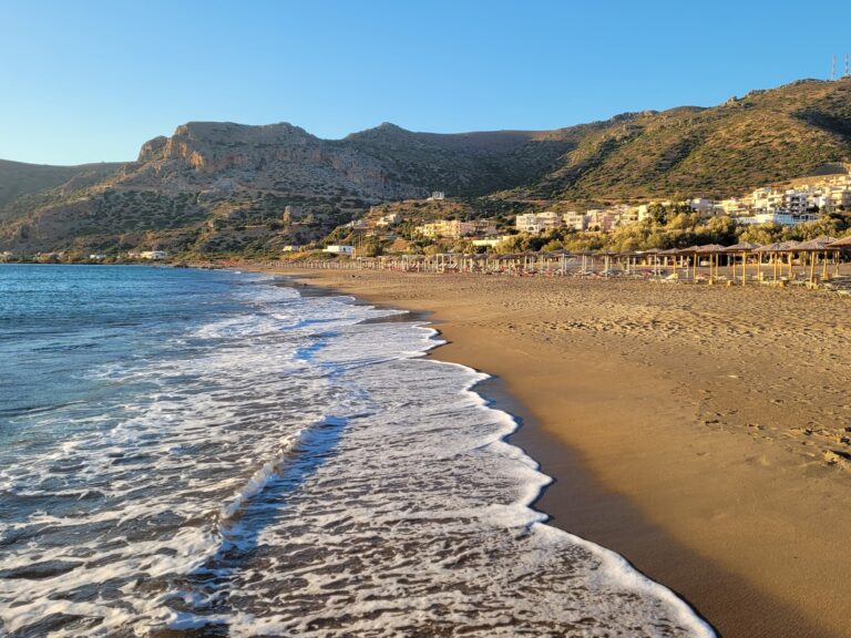
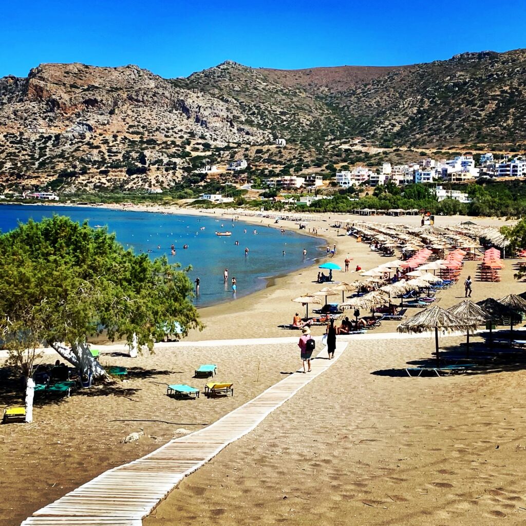
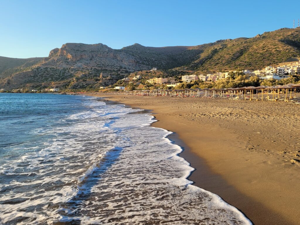
The west side of Paleochora features the long sandy beach of Pachia Ammos which is Paleochora’s main beach, just a 3-minute walk from the centre. Pachia Ammos (i.e. Thick Sand) is a fully organised beach with many facilities within easy reach. The sandy beach has shallow waters and is therefore ideal for families. Pachia Ammos when windy is favoured by windsurfing and kite surfing lovers. Pachia Ammos beach and its promenade are mostly lively in the mornings till sunset. In summertime there are many breakfast cafes lined on the beach. Sunsets are utterly beautiful and relaxing at a cafe or the beach.
Getting There: 70km From Chania Through Kandanos and the Mountains, Bus From Chania Daily, Ferry From Gavdos and Sougia
Pachia Ammos beach is the largest Paleochora beach, located on the southwest coast of Chania, about 70 km from the city centre.
From Chania, take the main road south toward Tavronitis and follow the signs for Paleochora. The road winds through mountain passes and traditional villages including Kandanos — one of the most historically significant villages on Crete, where in June 1941 the German military executed 180 civilians in reprisal for the local resistance. The memorial and the rebuilt village square are on the route.
You can also go by boat to Loutro, Agia Roumeli, Sougia and Gavdos. Paleochora is a ferry hub for the southwest Cretan coast — the boat connections to Gavdos (the southernmost point of Greece) make it a natural staging point for island hopping along the Libyan Sea.
Daily KTEL buses from Chania central station reach Paleochora — the stop is in the town centre, a 3-minute flat walk to the beach.
Pachia Ammos: 1km West Beach, Fine Golden Sand, Shallow, Blue Flag, Nudists at Northwest End
Pachia Ammos is the large, kilometre-long beach on the west coast of Paleochora. Pachia Ammos Beach is proud to fly the EU Blue Flag, showing that the water is clean and the beach has all the necessary facilities for safe swimming. There are usually nudists at the northwest end of the beach. If this bothers you, stay away; there are another 900 metres of wonderful beach at your disposal.
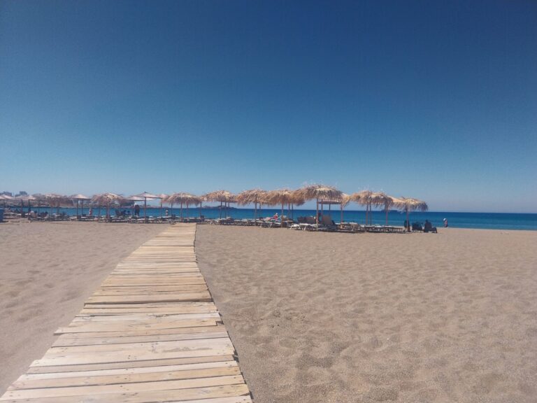
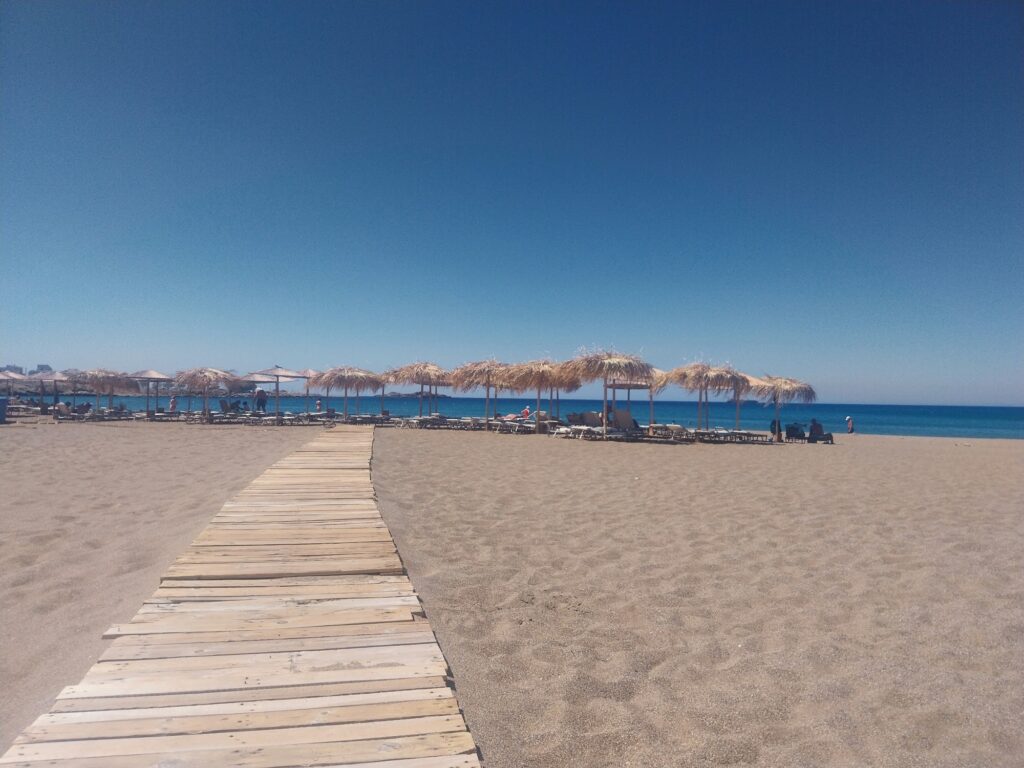
It has fine soft sand and shallow water, ideal for children. However, when westerly or southerly winds blow, the waves are quite big and need attention for kids. Umbrellas, bars, snack bars, water sports equipment, showers and lifeguard tower are some of the provided services.
The beach is almost 500 metres to 1 kilometre long depending on which source is used. The honest measure is somewhere in between — the usable organised beach is approximately 500–600 metres; the full bay including the quieter northwest end is approximately 1 kilometre.
Halikia (Votsala): The East Pebble Beach — Often Calm When Pachia Ammos Has Waves
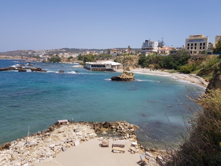
The second beach in Paleochora itself is the pebble beach on the east side, Halikia (“Pebbles”) as the locals call it.
The east-facing Halikia is the practical alternative when wind drives onto Pachia Ammos. It is narrower and the pebbles require water shoes, but the water tends to be calmer on westerly days. Checking both beaches on arrival is the experienced Paleochora visitor’s first move.
The Venetian Castle of Selino: Sunset Views Over Both Beaches From the Ruins Above
Sunsets are utterly beautiful and relaxing at a cafe or the beach, definitely worth it! Pachia Ammos… faces west and the sunset is truly enchanting.
The Venetian Castle of Selino on the promontory between the two beaches — built in the 13th century, partially destroyed by Ottoman forces in 1539, left as a ruin — is the specific elevated viewpoint that provides the panoramic view of both beaches simultaneously. The ruins are accessible from the town and require a 10-minute walk.
Gavdos: Europe’s Southernmost Point, Accessible by Ferry From Paleochora
Gavdos island — the southernmost point of Greece and of Europe — is accessible by regular seasonal ferry from Paleochora. The island has four small beaches, a year-round population of approximately 30 to 50 people, no ATM, and the specific combination of extreme remoteness and natural beauty that makes it a destination in itself.
Pachia Ammos Beach at Paleochora, Crete is the 1-kilometre Blue Flag sandy west beach of the two-beach peninsula town — 70 kilometres from Chania through the mountains and Kandanos, 3 minutes’ walk from the town centre, shallow family-friendly water, nudists at the northwest end, west-facing sunset views, southerly and westerly winds bring waves (switch to Halikia east beach on those days), Venetian Castle of Selino ruins above the peninsula, and ferry connections to Gavdos and the southwest Cretan coast.
Arrive from Chania by bus. Check which beach the wind favours. Watch the sunset from the castle ruins or from a cafe chair on the promenade.
Map
Sorry, no records were found. Please adjust your search criteria and try again.
Sorry, unable to load the Maps API.
Near by places: