Varnavas Beach Attica: Two Towers, Two Eras


Profile
Varnavas Beach, North Evian Gulf: Two Towers From Two Different Eras Stand Five Hundred Metres Apart Above the Coast
Greece | Varnavas | Marathon Municipality, East Attica
Above Varnavas village, two towers stand close enough together that I found it strange nobody had built one and torn down the other over the centuries between them. The first, roughly 500 metres from the second, is Frankish, built in the 13th or 14th century, large and solidly constructed — likely the residence of a local lord, and probably part of a defensive network protecting this stretch of eastern Attica against pirate raids. Its walls run nearly a metre thick, the structure rising at least eleven metres despite the collapse of its original vaulted ceiling. The second tower, older still, dates back to Ancient Greece itself, and the two together span a gap in time that the hillside seems to have simply absorbed rather than erasing either one.
The village itself occupies ground identified by ancient geographers as Simachides, one of the demes of classical Attica, situated in the region the ancients called Diakria — the highlands, one of three natural divisions of Attica alongside the central plain and the coastal Paralia, a distinction that mattered enough in the time of Solon and Peisistratus to define three separate political factions: the Men of the Plain, the Men of the Coast, and the Diacrii, the highlanders. Varnavas, perched in these same hills, was quite literally highland territory in the oldest political sense the word carried.
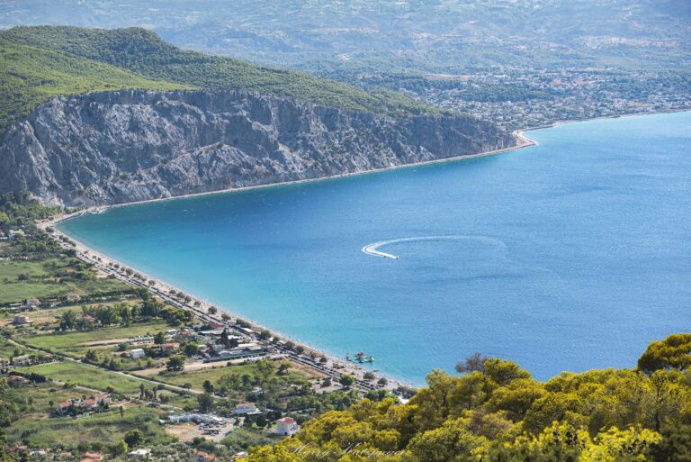
The beach itself sits on the North Evian Gulf, roughly twelve kilometres downhill from the village along a winding paved road, and is regarded locally as among the cleanest stretches of coastline in Attica. I should note, since it is recent enough to matter for anyone planning a visit, that a serious wildfire struck Varnavas in August 2024, sending smoke as far as central Athens; the landscape in the hills above the coast has been recovering since.
Getting There: Via Kapandriti, Roughly an Hour From Athens
The most direct route follows the National Road north toward Lamia, exiting at the Kapandriti junction and following signs for Varnavas village. From the village centre, a winding paved road descends roughly twelve kilometres to the coast, the drop in elevation considerable enough that the views over the gulf open up gradually rather than all at once. The full journey from central Athens takes fifty minutes to an hour.
Without a car, a KTEL bus from the Mavromateon station near Pedion tou Areos reaches Varnavas village, though the distance from there down to the beach is significant enough that a taxi for the final stretch is effectively necessary.
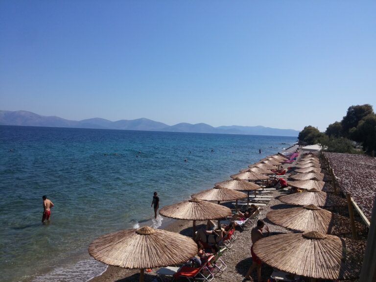
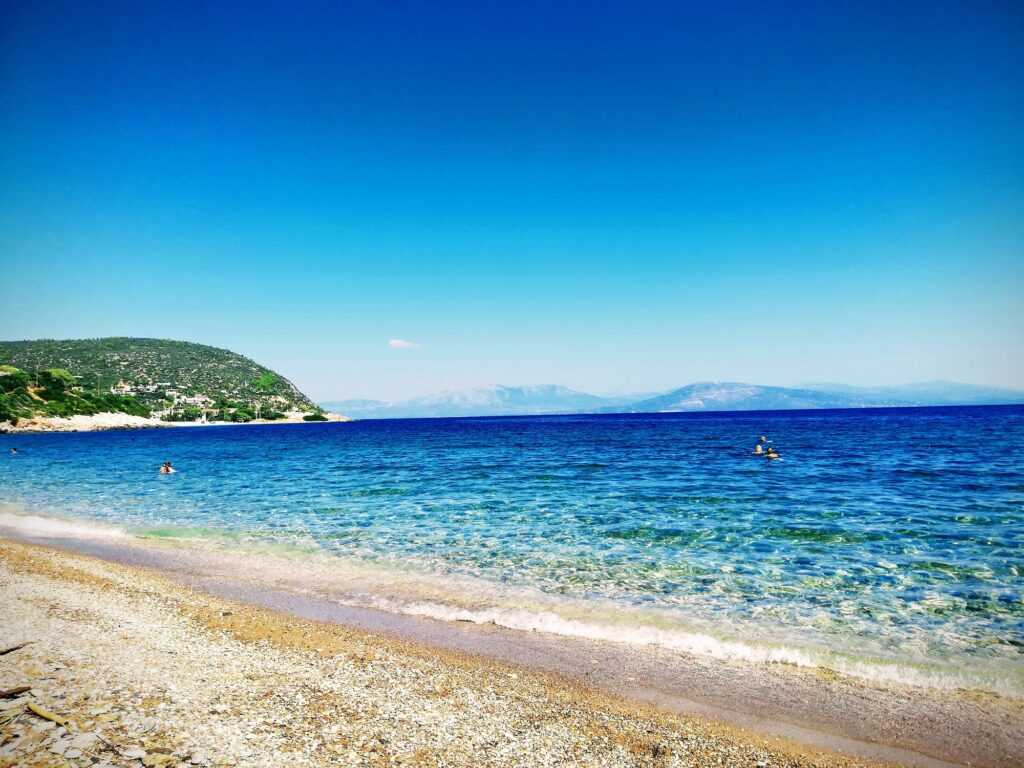
The Beach: 300 Metres of Sand and Pebble, a Bay Sheltered From the South
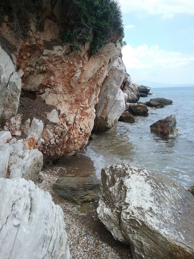
The shore runs for roughly 300 metres, a mix of dark beige sand and small, smooth pebbles, set within a bay that shelters it from southern winds while leaving it open to the northern Meltemi, which can raise genuine waves on a breezy day. The descent into the water is moderate, and the pebbled seabed makes water shoes a sensible precaution rather than an indulgence. The rocky edges of the bay support a reasonable variety of marine life, making the area a decent stop for snorkelling on calmer days.
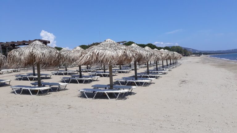
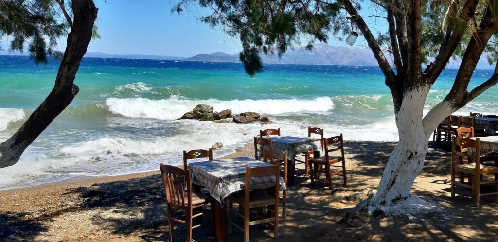
A portion of the beach is organised with sunbeds and umbrellas in peak season, while a larger stretch remains free for anyone willing to bring their own gear and find a spot under the trees. A small chapel, Agios Dimitrios, stands right by the coast, and a handful of tavernas, including one locally well-regarded spot called To Skaloma, sit close enough to the sand that a meal there comes with the sound of the water nearby.
Varnavas Beach sits on the North Evian Gulf below a hilltop village that carries the name of the ancient deme of Simachides, in the historic highland region of Diakria, and is marked by two towers from entirely different eras — one Frankish, one ancient — standing roughly 500 metres apart on the hillside above. The shore itself runs 300 metres, sand and pebble, sheltered from the south but open to the northern Meltemi, partly organised and partly left free, with a small chapel and a few tavernas close to the water. The surrounding hills are still recovering from a serious wildfire in August 2024. Roughly an hour from Athens via Kapandriti.
Drive via Kapandriti. Bring water shoes for the pebbled seabed. Visit the two towers above the village if the history interests you as much as the swim.

Map
Sorry, no records were found. Please adjust your search criteria and try again.
Sorry, unable to load the Maps API.
Near by places: