Lomvarda Beach Koropi: Beside the "Holes" Tunnels


Profile
Lomvarda Beach, Agia Marina: Right Beside the Tunnels a Prime Minister Built and Locals Still Call “The Holes”
Greece | Agia Marina | Koropi (Kropia), East Attica
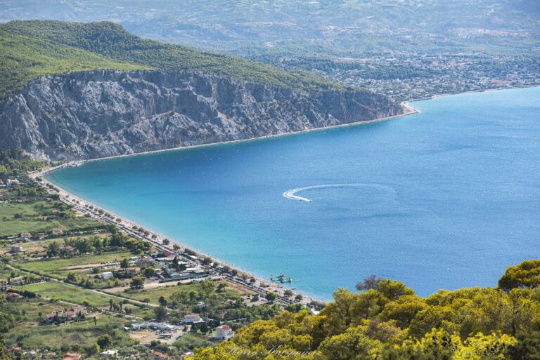
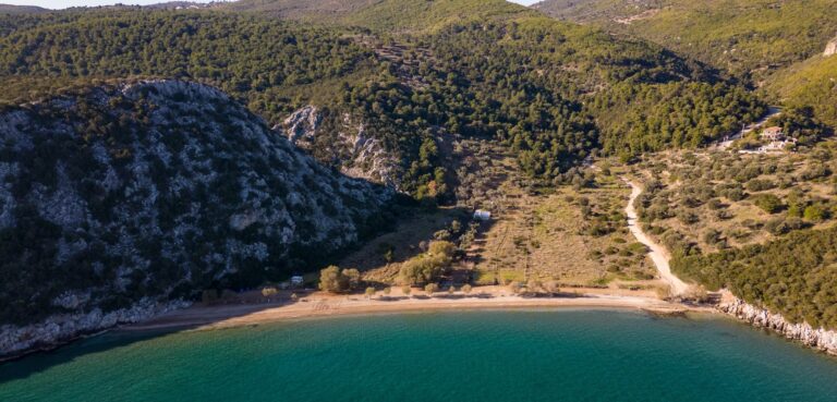
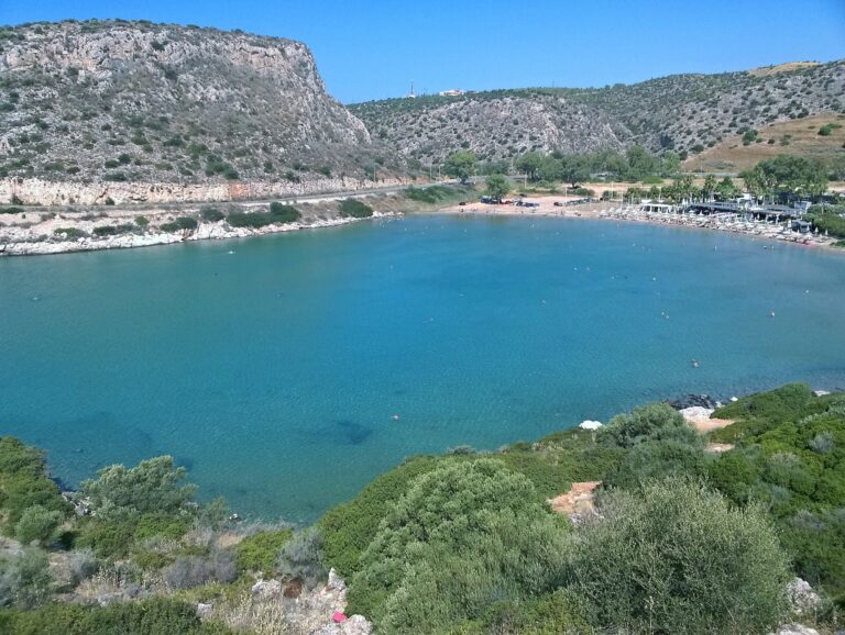
The two short tunnels carved into the hillside just along the coast from Lomvarda carry a name that has outlasted the politics behind them entirely. Construction began in 1954 under Prime Minister Konstantinos Karamanlis, with a second tunnel added and opened to traffic in the early 1980s — both barely seven metres long, dangerous enough at the sharp bend in the road that they’re still treated with caution by drivers decades later. Locally, the small pebble cove sitting directly beneath them has taken the affectionately irreverent nickname “Tripes Karamanlis” — the Holes of Karamanlis — a name that has stuck regardless of how the former prime minister’s broader legacy is remembered. That cove has no facilities at all: no accommodation, no rentals, nothing beyond what visitors carry in themselves, in deliberate and consistent contrast to Lomvarda itself, the larger and better-equipped beach just along the same stretch of coast.
Lomvarda sits within Agia Marina, a seaside district of the Koropi municipality (formally Kropia) that was known as Alikos until the nineteenth century, the name traced to an inscription found in a well. The area only took its current name after the Church of Agia Marina was completed in 1947, in the aftermath of the Second World War, and the opening of the Athens-Sounio road afterward gave the wider district the development push that shaped its present character.
Getting There: 26 Kilometres From Athens, at the 34th Kilometre of the Sounio Road
The drive from central Athens follows Leoforos Poseidonos south, with Lomvarda sitting at roughly the 34th kilometre marker of the Athens-Sounio road, shortly past the Karamanlis Tunnels. Free parking exists in a dirt lot directly at beach level.
By public transport, Metro Line 2 to Elliniko, followed by Bus 122 toward Saronida, stops directly at Lomvarda, a short walk to the sand. The route passes close to Althea Beach Koropi Attica Greece, which sits within the same general stretch of coastline a little further south.
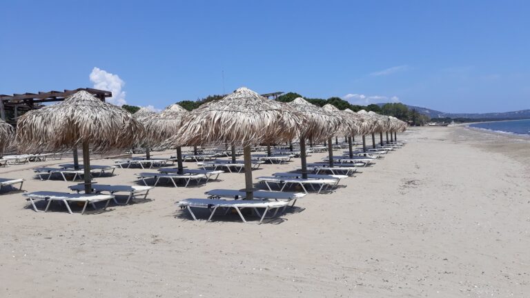
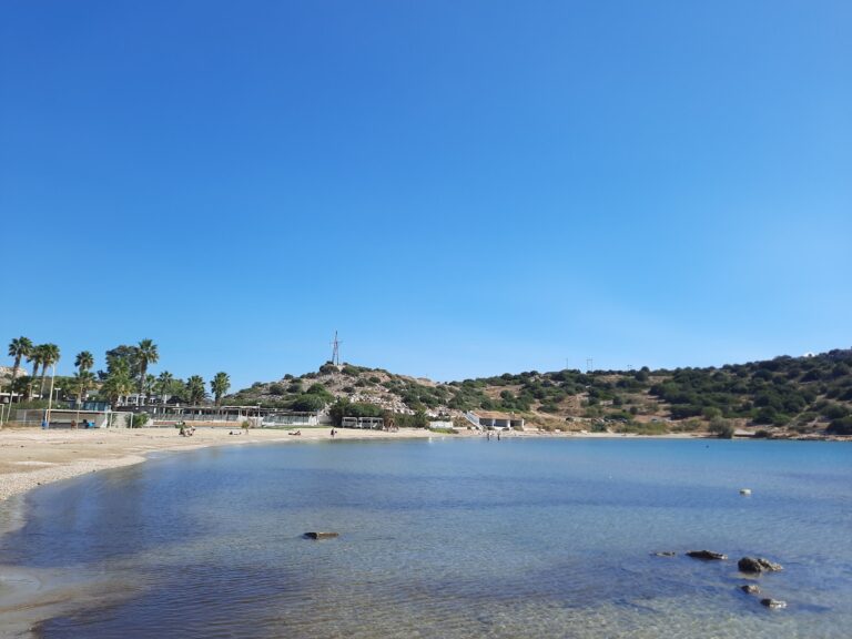
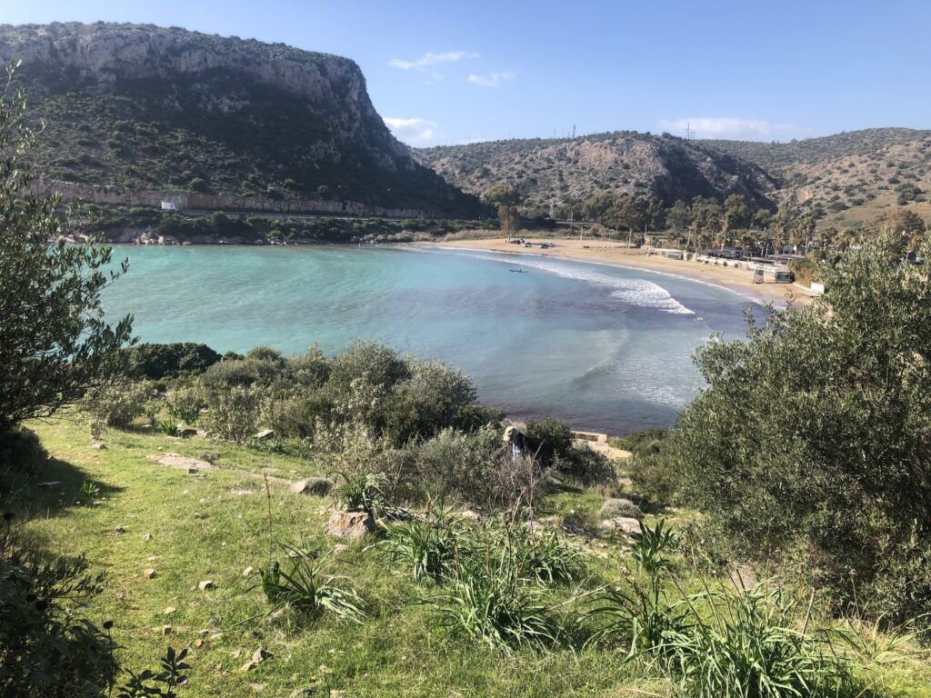
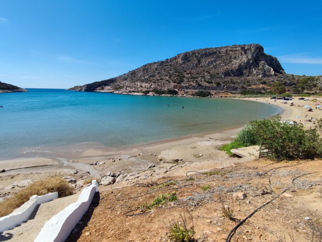
The Beach: 300 Metres of Sand, Shallow Throughout, Mojito Bay on Site
Lomvarda runs approximately 300 metres, coarse sand with a gradual, shallow slope that needs no water shoes, and is consistently recommended for families and older visitors for exactly that reason. The water stays calm under normal conditions, though a strong southern wind can rough up the surface on certain days. Mojito Bay, the established beach bar on site, rents sunbeds and umbrellas, with prices in the region of twenty to thirty euros for a set depending on the season, alongside a large unorganised stretch for anyone bringing their own gear. A beach volleyball court draws local tournaments through the summer, and a lifeguard tower is staffed during the high season.
A handful of restaurants line the road above the beach, including souvlaki spots and casual seafront dining, giving Lomvarda a more developed character than the bare cove beneath the tunnels just along the coast.
Lomvarda Beach, in Agia Marina, sits beside the Karamanlis Tunnels, built from 1954 under Konstantinos Karamanlis and still locally famous through the nickname they gave the neighbouring pebble cove, “Tripes Karamanlis” — entirely unfacilitated, in contrast to Lomvarda itself, which offers 300 metres of shallow sandy beach, partly organised around Mojito Bay, a beach volleyball court, and a lifeguard in season. Agia Marina itself, formerly Alikos, took its present name after its church was completed in 1947. Twenty-six kilometres from Athens, at the 34th kilometre of the Sounio road, with Althea Beach a short distance further along the same coastline.
Drive to the 34th kilometre of the Sounio road. Choose Lomvarda for facilities, the Tripes Karamanlis cove next door if you’d rather bring everything yourself. Watch the bend through the tunnels carefully if driving.


Map
Sorry, no records were found. Please adjust your search criteria and try again.
Sorry, unable to load the Maps API.
Near by places: