Chiliadou Beach Nafpaktos: Wind Since the Battle of 1571
Profile
Chiliadou Beach Nafpaktos Greece: Cervantes Lost His Hand in This Gulf, and the Wind Has Not Changed Since
Greece | Chiliadou | Nafpaktia, Aetolia-Acarnania
The water off Nafpaktos has a specific historical weight that the Corinthian Gulf’s otherwise unremarkable appearance does not immediately suggest. In October 1571, a combined fleet of the Holy League — Spain, Venice, and the Papal States — met the Ottoman navy here and defeated it in the largest naval engagement since antiquity, an event that stopped the westward expansion of Ottoman sea power and rang across Europe as something close to a miracle. The Venetians called the town Lepanto, and the battle took their version of the name. Miguel de Cervantes, then a 24-year-old soldier serving on a Genoese galley, was wounded three times in the fighting and permanently lost the use of his left hand. He considered the wound a point of pride; he later wrote that the hand had been taken “for the greater glory of the right one.”
Chiliadou Beach sits 11 kilometres east of that town, in the grassy plain where the Mornos River meets the coast on its way down from the mountains of Fokida. The Mornos is not a minor river: it supplies much of Athens’ water, its flow controlled by the Mornos Reservoir high in the mountains upstream. The delta below Chiliadou is where that water eventually reaches the sea, and the fertile alluvial plain it has deposited is visible from the beach as the flat, agricultural land running north toward the mountains, a landscape more typical of a river valley than of a beach approach.
Getting to Chiliadou Beach Nafpaktos Greece: East on the National Road to Itea
The road from Nafpaktos follows the national route toward Itea and Delphi, hugging the coastline east past the village of Managouli before the turn for Chiliadou appears. The drive covers 10 to 11 kilometres and takes around 15 minutes, the Corinthian Gulf visible to the south for most of the approach with the Peloponnesian mountains on the opposite shore in clear conditions. The coastal road is well-maintained, and the village of Chiliadou itself is the destination rather than a stop along the way — the road into the village leads directly to the beach and the small port.
Taxis from Nafpaktos cover this distance without difficulty, and the beach is also reachable from the east along the coast road from Itea, making it a natural stop for anyone combining a Delphi visit with a swim. The parking area behind the beach bars along the coastal road accommodates cars without particular difficulty outside of peak summer weekends, when an early arrival is the practical solution.
Chiliadou Beach Nafpaktos Greece: Two Kilometres of Sand, a Small Port, Reliable Wind
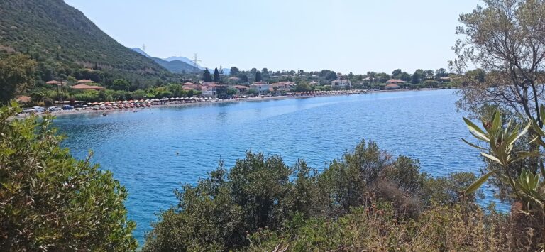
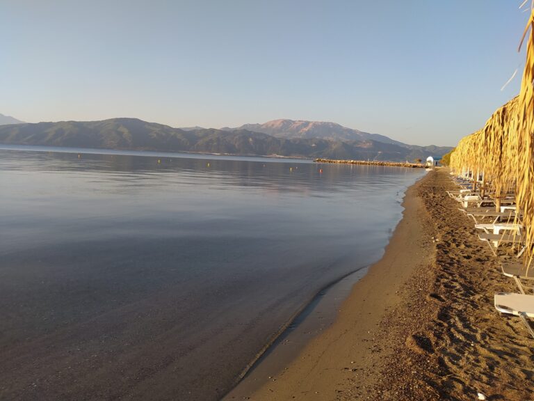
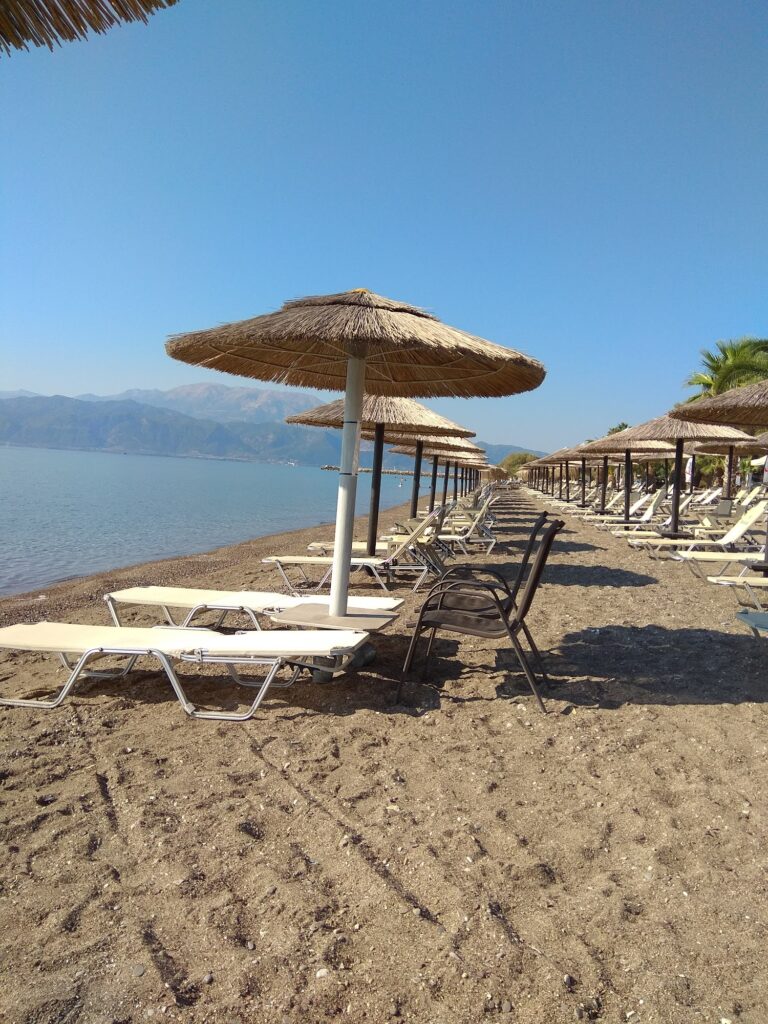
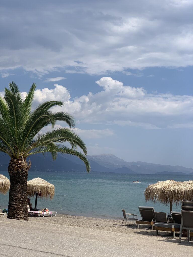
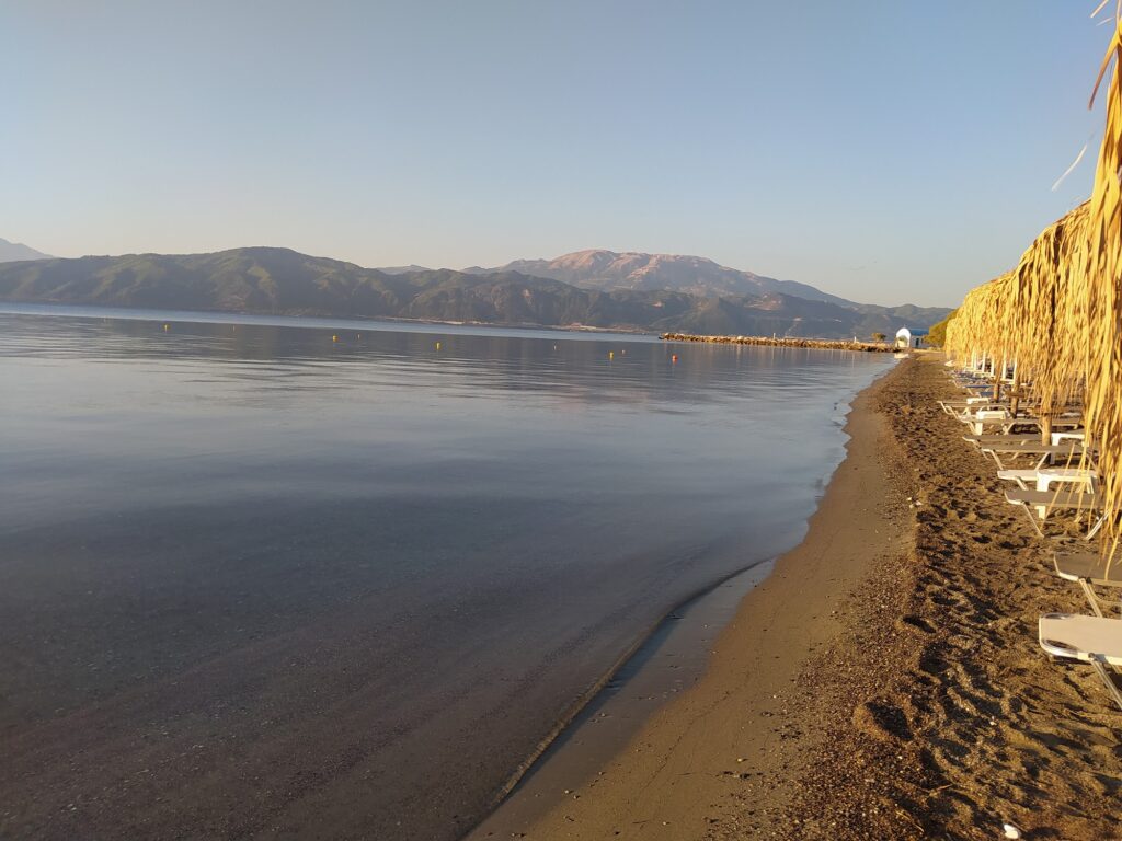
The beach runs approximately two kilometres along the shore of the gulf, sandy rather than the pebble-dominant character of many Corinthian Gulf beaches, with a gradual seabed that stays shallow for a considerable distance. A small harbour at one end of the beach gives it a working character that larger resort beaches rarely have — local boats using the port alongside the swimming beach rather than tourism occupying the whole space. Beach bars, cafés, and tavernas have expanded along the strip in recent years as summer visitors from Nafpaktos and further afield have made the beach a regular destination, and the facilities — changing cabins, showers, sunbeds under straw umbrellas — operate through the summer season.
The wind is the quality that distinguishes Chiliadou most clearly from the calmer beaches closer to Nafpaktos town. The Corinthian Gulf generates reliable thermal winds from April through November, the pattern consistent enough that the area around Nafpaktos has developed a specific identity among kitesurfing and windsurfing communities across Greece. The winds at Chiliadou are part of the same pattern, and the open exposure of the beach to the full length of the gulf amplifies them relative to the more sheltered town beaches. On windy afternoons, the kite rigs visible across the water are a specific feature of this beach rather than an occasional novelty.
The Mornos Plain and What Surrounds the Beach
The flat plain behind the beach belongs to the same geography that defines the stretch of Fokida coast east of Nafpaktos — the Mornos valley draining south between mountains toward the gulf, the agricultural land between the hills and the water producing olives, vines, and the citrus orchards that the approach road passes through. The Mornos Reservoir, completed in 1980, changed the character of the river above Chiliadou substantially, regulating the flow and capturing the sediment that previously made the delta more dynamic, but the lower course and the delta plain still carry the landscape logic of a river-mouth beach rather than a pure coastal resort.
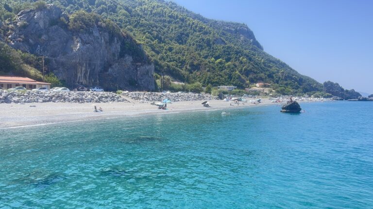
This part of the Corinthian Gulf is in the region technically called the Fokida coast even though Chiliadou is often associated with Nafpaktos and Aetolia-Acarnania — the municipal boundary between the two regional units runs through this stretch, and the beaches described as belonging to “neighbouring Fokida” on the VisitNafpaktia regional tourism website include Chiliadou, Monastiraki, Skaloma, Marathias, and Sergoula as a cluster accessible from the same town.
Nafpaktos Beyond the Beach
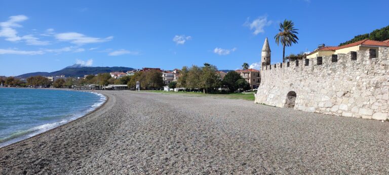
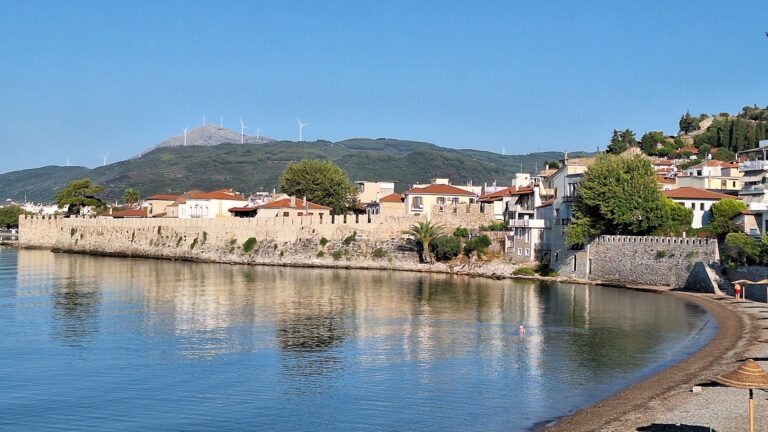
Nafpaktos town itself has a specific character that the beach east of it belongs to but does not fully represent. The Venetian harbour, still in its medieval form, is one of the most intact examples of Venetian fortification design in mainland Greece, the walls running from the waterline up the hill to a castle at the summit, the old port enclosed by two towers with a chain once stretched between them to block access. Ancient Nafpaktos was built 3,000 years ago by Dorian tribes; the name itself is connected to the shipbuilding tradition — naus, ship, and pakto, to build — that gave the town its role in every period of the Corinthian Gulf’s history.
Gribovo Beach Nafpaktos Greece, on the eastern edge of town, is the closest organised beach to the old harbour, sandy and Blue Flag certified with large sycamore trees providing natural shade. Psani Beach Nafpaktos Greece, to the west, runs five kilometres along the promenade toward the castle, the road closed to traffic in summer so that the seafront functions as a pedestrian and cycling space. Both are within town rather than requiring a drive, and the contrast between them and Chiliadou — the bustle of the town beaches against the more open, wind-exposed character of the beach east of town — is worth experiencing across a single visit rather than choosing between them.
The wind at Chiliadou is most reliable in the afternoon, which makes the morning the window for flat-water swimming and the afternoon the territory of the kite rigs. The Peloponnesian mountains across the gulf, visible in clear conditions, are the same mountains above Corinth and Patras that enclosed the ancient sea lane the Holy League defended in 1571. The view from the beach does not change much. The wind does not change much either.
Map
Sorry, no records were found. Please adjust your search criteria and try again.
Sorry, unable to load the Maps API.
Near by places: