Spiaggia di Pomonte: Beside a Sunken Ship
Profile
Spiaggia di Pomonte: A Captain’s Fatal Miscalculation, Still Visible From Shore
Italy | Tuscany | Elba Island | Tuscan Archipelago
On January 10, 1972, the Elviscot, a Dutch-built cargo ship traveling empty from Taranto toward Marseille, began taking on water at sea, and its captain diverted toward Elba, convinced he’d found a stretch of safe, sandy seabed near Pomonte to bring the vessel in. He was wrong. The ship struck the Ogliera rock instead, its bow rearing up onto the stones with the stern already flooding, and though the crew escaped within minutes, the Elviscot sat stranded and half-sunk for nearly two weeks before winter storms finished the job, sending it completely under on January 21st. More than fifty years later, the wreck still lies roughly 150 meters offshore at a depth of just twelve meters, close enough to reach by snorkel alone, one of the most visited and accessible shipwrecks anywhere in Italy.
I found something genuinely poignant about a disaster caused by a captain’s confident misjudgment of exactly the kind of seabed this beach is now famous for, dark granite and shingle rather than the sand he’d apparently expected, a miscalculation that’s since become one of Pomonte’s biggest draws rather than simply a maritime footnote.
Dark Granite Pebbles and Water Clear to Twenty Meters
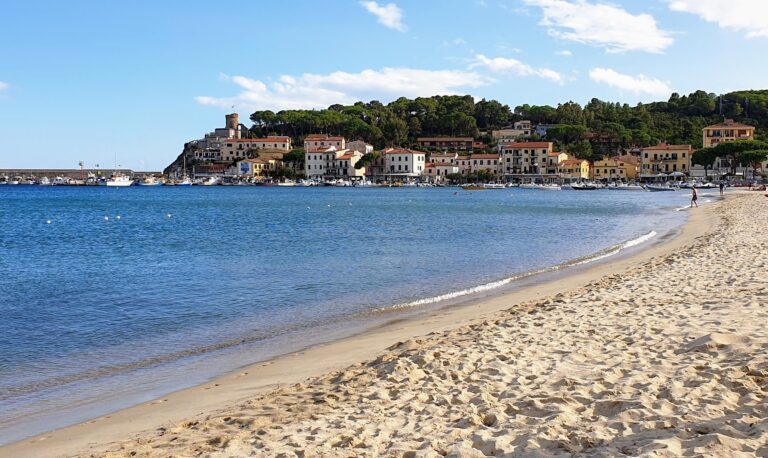
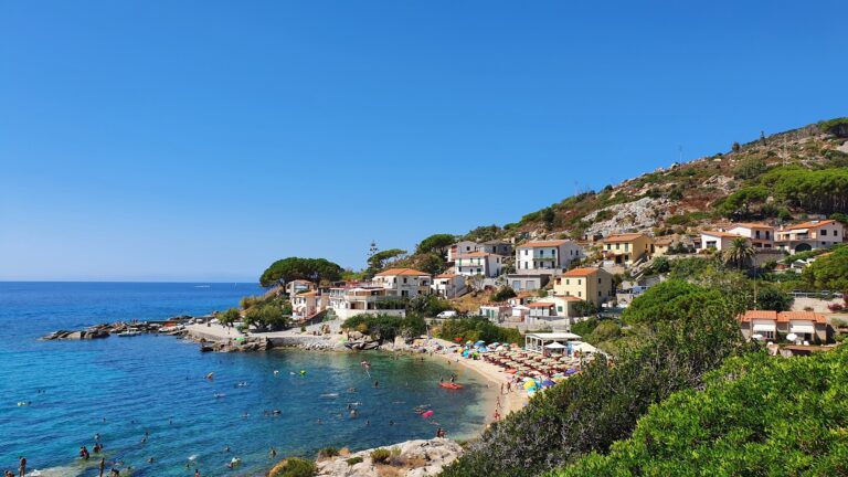
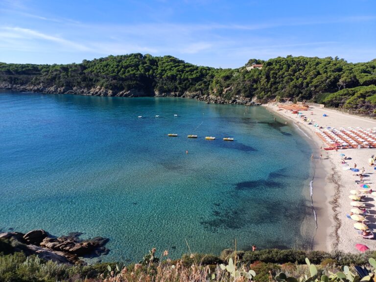
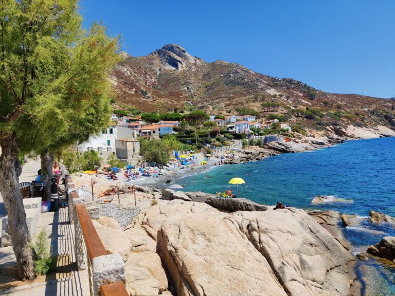
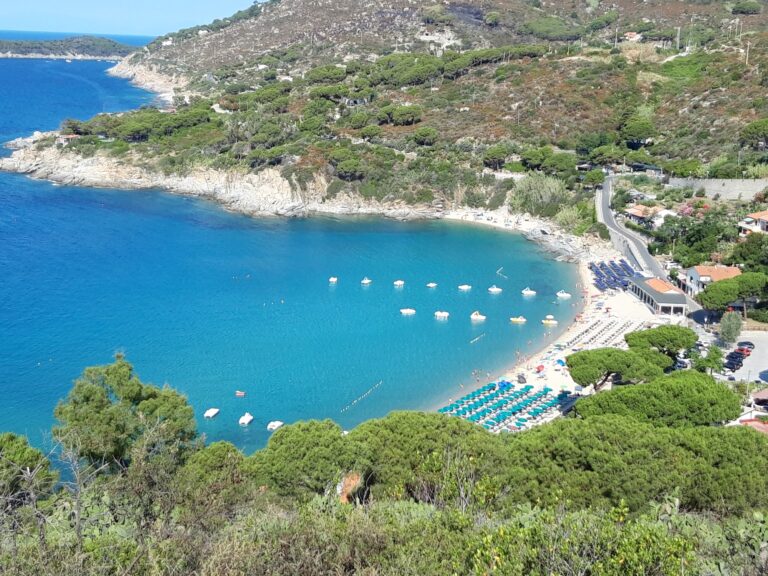
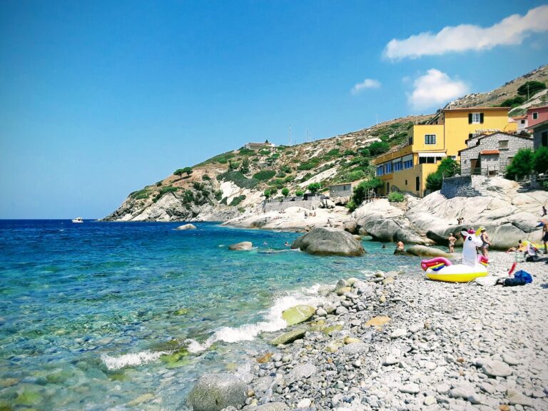
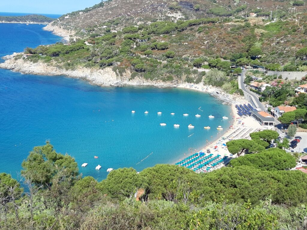
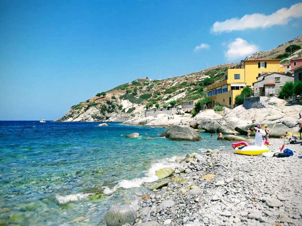
Pomonte’s shore runs roughly 200 meters, dark, smooth granite pebbles and polished shingle split by a small stream, with flat rock formations locals call le scalette providing genuine natural sunbathing platforms along the edges. I found the water exceptionally clear, pale crystalline green over the shallow ledges deepening into intense cobalt as the seabed dropped away, visibility often exceeding twenty meters, sharp enough to make even a casual swim feel like a proper underwater tour.
Snorkeling Straight Into the Wreck Itself
What sets Pomonte apart from Elba’s other beaches is how directly accessible the Elviscot actually is, reachable by snorkel from shore without needing a boat at all, something few wreck dives anywhere manage. I found the stern and bridge, now thoroughly colonized by marine life, genuinely rewarding to explore, saddle bream, damselfish, octopus, and sea anemones settled into the ship’s iron hull, sunlight filtering through the portholes in a way that made the whole structure feel considerably more alive than its history suggests it should.
A Village Built Around Simple, Excellent Seafood
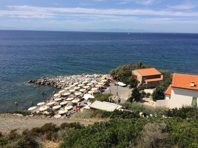
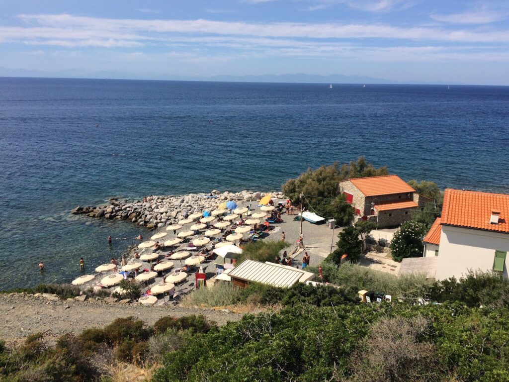
Family-run trattorias and cafés sit just behind the beach in Pomonte’s narrow streets, and I found the totani e patate and spaghetti with local mussels genuinely excellent, unpretentious cooking that matched the village’s understated character. As the sun dropped toward Corsica on the horizon, beachfront bars filled for aperitivo, a chilled glass of Ansonica in hand while the sky moved through pink, orange, and purple.
Getting There and Settling In
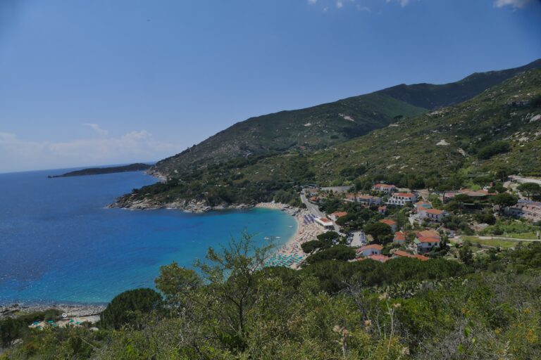
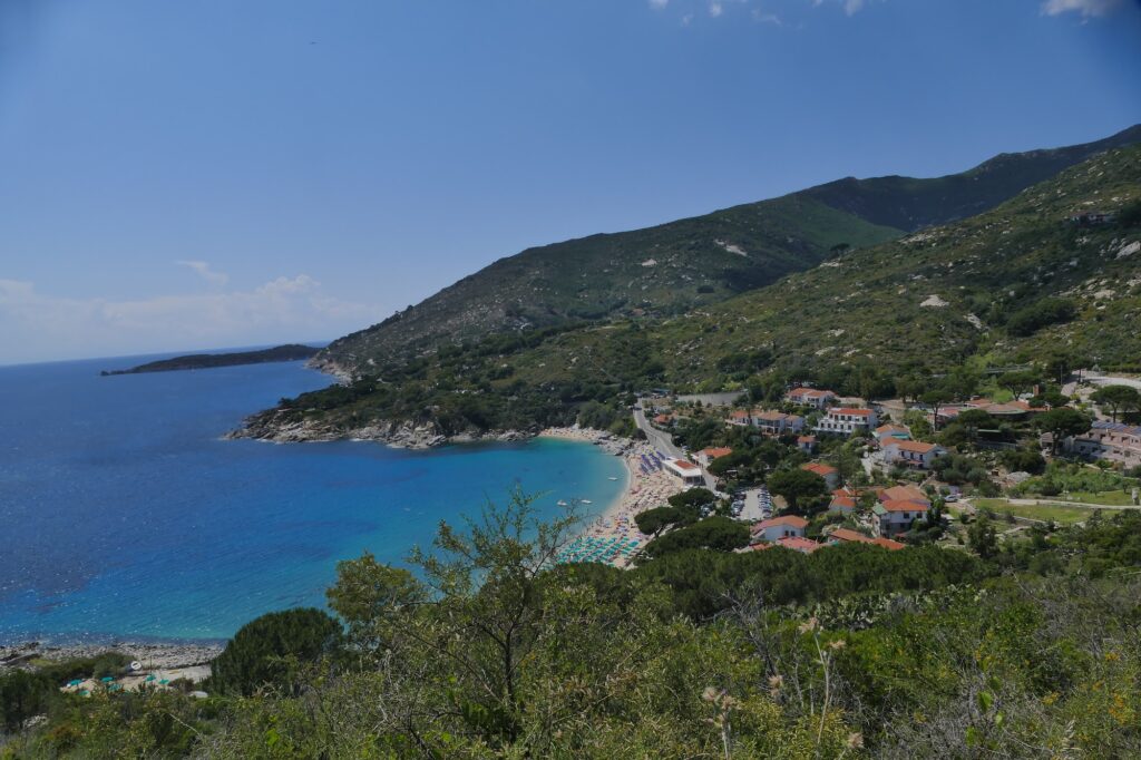
Pomonte sits about forty-five minutes from Portoferraio via the SP24 toward Procchio and the SP25 coastal road through Marciana Marina and Sant’Andrea, free and paid municipal parking within a short walk of the sand; from Marina di Campo, the same SP25 runs the opposite direction through Cavoli, Seccheto, and Fetovaia with steady ocean views the whole way, and the CTT Nord island bus stops in Pomonte’s central square, leaving a flat 200-meter walk to the shore. Anyone touring this stretch of Elba’s western coast will find Spiaggia di Sant’Andrea Elba and La Fenicia Beach Marciana Marina Elba both along the same coastal road, each offering its own distinct layer of the island’s history alongside Pomonte’s more recent maritime disaster.
Standing Above a Ship That Never Found the Safety It Was Looking For
By the time I left Pomonte on my last evening, the last snorkelers were making their way back from the Ogliera rock, and I thought about that captain, so certain he’d found safe ground, steering directly into the one obstacle that ended his ship’s working life for good, the wreck now serving considerably more fish than it ever served cargo routes.
Map
Sorry, no records were found. Please adjust your search criteria and try again.
Sorry, unable to load the Maps API.
Near by places: