Le Calandre, Ventimiglia: Down From the Fort to the Sand
Profile
Le Calandre Beach, Ventimiglia: The Fort Above the Path Holds Seven Centuries of Roman Glass
Italy | Ventimiglia | Imperia, Liguria
The Forte dell’Annunziata, which stands directly above the path to Le Calandre, was built in the early 19th century on top of an older church and Annunciation convent, functioning as an outlying defensive position of Forte San Paolo on the hill above Ventimiglia Alta. Since the 1980s it has housed the Museo Civico Girolamo Rossi, dedicated to the Ligurian historian and archaeologist who pioneered the excavation of Albintimilium — the Roman city whose remains still occupy a dedicated archaeological zone near the modern town. The museum holds around 700 artefacts across seven rooms, a collection that includes Roman inscriptions, busts, relief carvings, and what has been described as one of the most significant assemblages of Roman glass in northern Italy, drawn almost entirely from graves excavated in and around the ancient city. I mention the fort and its museum at length because the path to Le Calandre begins at its base, and the specific character of the walk — the sense of descending from a documented and layered past into something entirely natural and unreconstructed — belongs as much to the fort overhead as to the sand below.
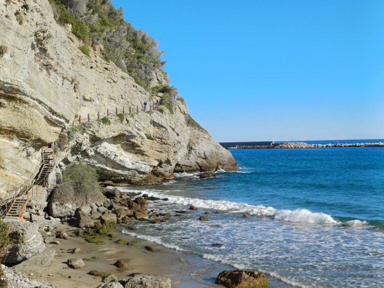
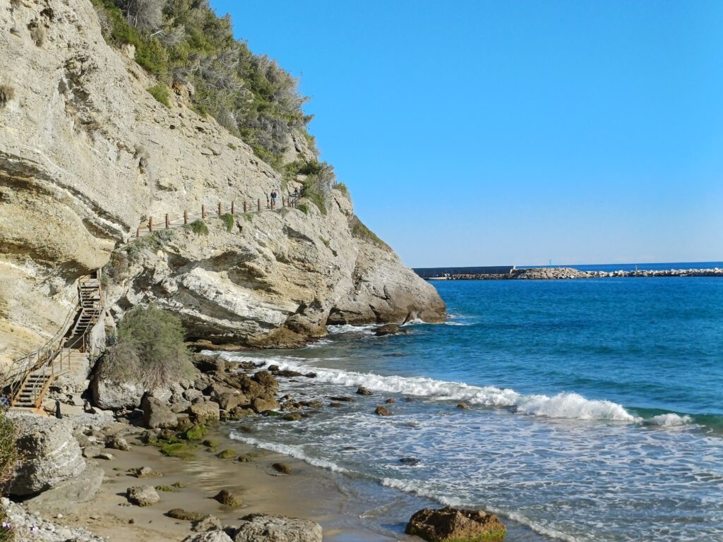
The path was closed for a period of safety works and has been reopened by the municipality in recently completed renovation. It starts from the western side of the fort, at Passeggiata Marconi near the new harbour on the Latte side, and the important practical point is that the earlier, flatter harbour-side approach that once gave an alternative route down has been closed permanently — erosion on one side and repeated landslides on the other rendered it unsafe, and the closure is not temporary. The only current access is via Ventimiglia Alta: park near the fort on the upper side of the road, cross to the pedestrian path, and descend from there.
The Sentiero delle Calandre: Belvedere Pietra and the Cave of the Madonna
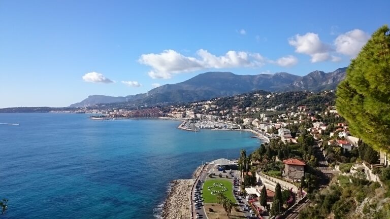
The first twenty minutes of descent are structured in two clear stages. The path enters a pine forest almost immediately, the vegetation dense enough overhead that the sea disappears behind the canopy before reappearing at the first significant stop: the Belvedere Pietra viewpoint, a clearing with an unobstructed 360-degree panorama. To the east, Ventimiglia spreads along its coastline with the mouth of the Roja river and the Marina San Giuseppe harbour visible; to the north the fort itself looks back down; to the west the French coastline curves toward Menton; and to the south, the horizon of the Ligurian Sea runs flat to the edge of sight.
A few minutes further along, just past the clearing, a small cave opens in the rock and houses a statue of the Madonna — the Grotta della Madonnina, a simple devotional niche rather than anything architecturally significant, though it has become a named landmark on this path rather than just a stone recess. The cave sits at the point where the path begins dropping more steeply toward the sea, and on days when swell is absent, people occasionally climb over the safety cordon here to jump roughly eight metres into deep water below — a local tradition specific to this spot, known to anyone who visits regularly and treated with the mixture of mild alarm and mild indifference that distinguishes local custom from official guidance. I did not jump. The distance looked accurate.
Getting to Le Calandre: Via Ventimiglia Alta Only
The approach from Ventimiglia by car means driving up to Ventimiglia Alta, the medieval upper town, and parking near the fort. On the upper road, a left turn from the fort side crosses toward the pedestrian path through the new harbour gardens of succulents and coastal shrubs added during the renovation works before the path begins proper. The total walking time from the fort to the beach runs approximately 20 minutes at a moderate pace, longer if time is spent at the belvedere.
The path connects Le Calandre to a part of Ventimiglia that rewards time on its own terms — the old town carries genuine medieval density in a short perimeter, with the Cattedrale di Santa Maria Assunta dating to the 11th and 12th centuries on a Carolingian foundation, the church of San Michele Arcangelo with its 10th-century walls, and the Loggia del Parlamento from the 14th or 15th century on Via Garibaldi. The Roman city of Albintimilium occupies its own separate archaeological zone near the modern lower town, where a 2nd-century theatre once seated up to 2,000 spectators and still preserves its stone rows in visible condition.
Le Calandre Beach: Sandy, Shallow, Limited Sunbeds by 9am
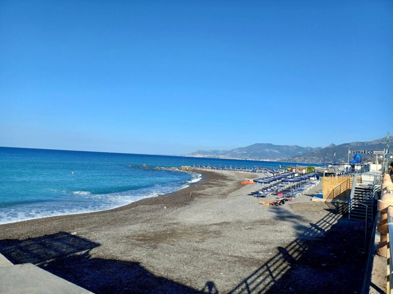
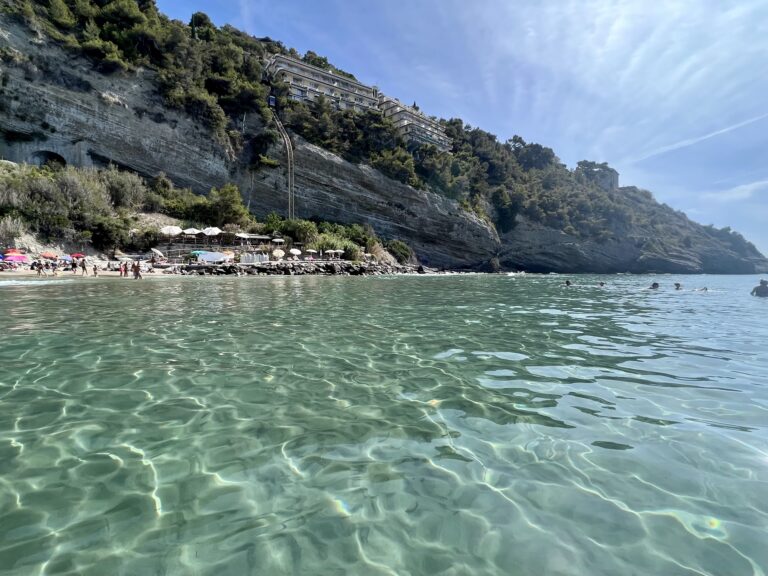
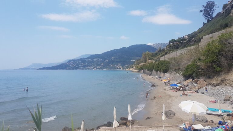
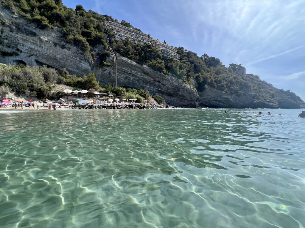
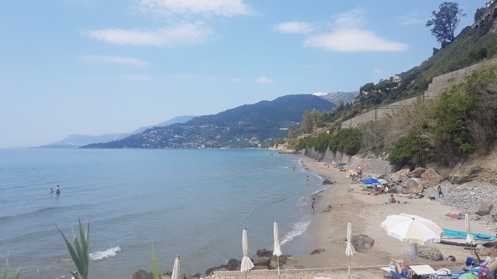
The beach at the bottom of the path is sandy — genuinely sandy, fine-grained and golden, which marks it clearly as an anomaly on a coast where pebble and stone dominate almost every other beach for kilometres in either direction. The cove sits enclosed by cliffs on three sides, the water starting shallow and deepening gradually rather than dropping away quickly near shore, and the combination of sand underfoot and calm shallow entry makes this an unusually forgiving swimming spot for a beach that has no road access and no organising infrastructure to speak of.
A small beach bar operates seasonally, offering the basics: cold drinks, snacks, coffee. A limited number of sunbeds and umbrellas are available to rent, but they cannot be reserved by phone or in advance — the arrangement is strictly first come first served, and the consistent advice from people who visit regularly is to arrive by 8:30 or 9 in the morning if a rented spot matters. The beach is otherwise entirely public and free, and the space without sunbeds is generous. No changing rooms, no toilets on the sand; a basic freshwater rinse station sits near the path exit. Dogs are permitted.
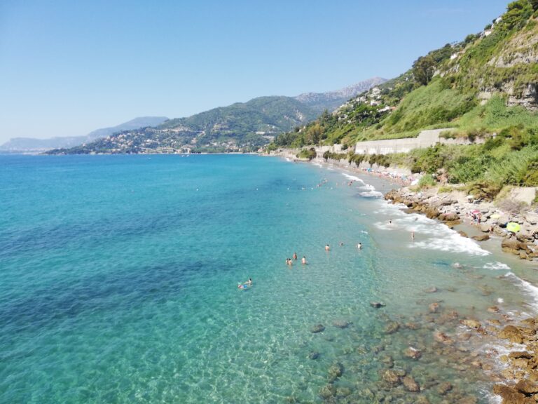
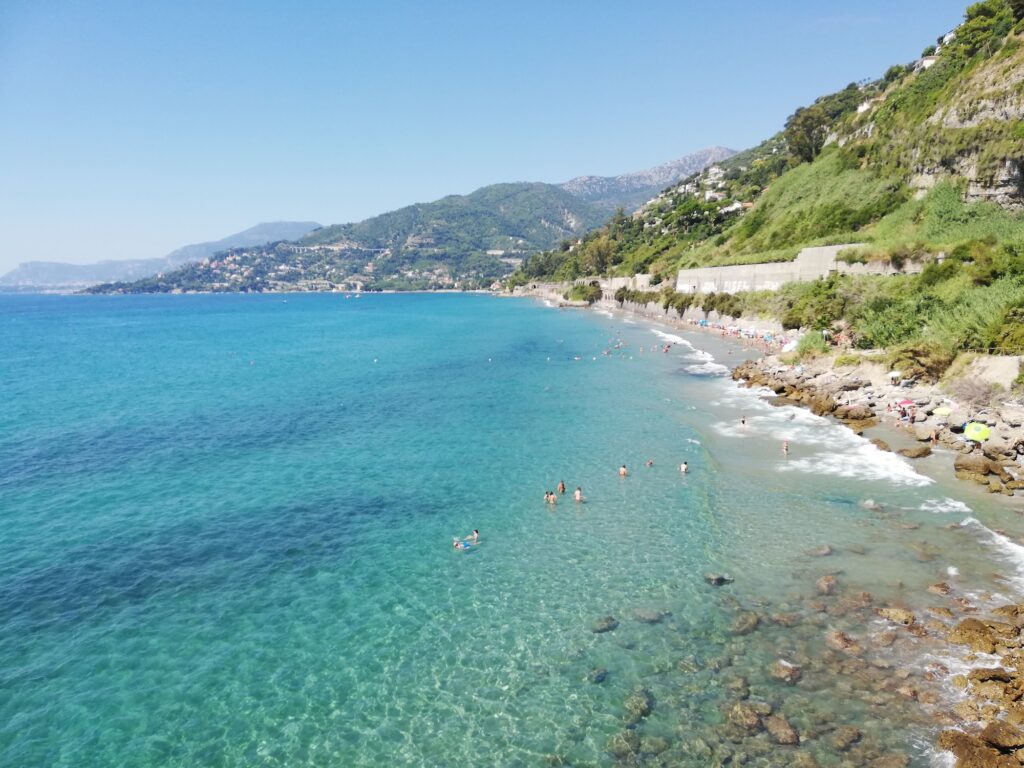
When the mistral or southern winds bring enough swell, the beach draws surfers, and this is one of the few places on the western Ligurian coast where genuine surf is periodically available. On calm days the water surface is the clear, transparent colour that characterises this stretch of coast when there is no wind disturbing the seabed — the combination of sandy bottom and open exposure producing the green-to-blue shift visible in most photographs of the place.
What Sits Nearby: Balzi Rossi and Hanbury Gardens
Two of the more significant natural and archaeological sites on this stretch of coast sit within easy reach. Spiaggetta dei Balzi Rossi Ventimiglia Italy is roughly three kilometres west along the coast, accessible by road or by boat, at the point where the red limestone cliffs meet the French border and where caves running into those cliffs produced prehistoric human remains across a span of hundreds of thousands of years. Maoma Beach Bordighera Italy, lies roughly seven kilometres east by coast road — Bordighera’s own seafront, with its botanical legacy of palms and the long promenade named after Evita Perón.
The Giardini Botanici Hanbury at Cape Mortola, between Le Calandre and the French border, contain one of the most important botanical collections in Italy, established in 1867 by the English merchant Thomas Hanbury and running to around 5,000 species across 18 hectares. Combined with Le Calandre’s own walk and beach, the two make a natural full-day circuit for anyone with a car.
Le Calandre is one of the few genuinely sandy beaches on the Ligurian Riviera di Ponente, accessible only by the cliffside path from Forte dell’Annunziata in Ventimiglia Alta. The harbour-side approach is permanently closed. Arrive before 9am if sunbeds matter; the bar handles the basics. The path from the fort is 20 minutes downhill, with a named viewpoint, a Madonna cave, and a jump spot the locals know about. Park near the fort on the upper road and cross to the pedestrian path through the new harbour gardens to start.
Map
Sorry, no records were found. Please adjust your search criteria and try again.
Sorry, unable to load the Maps API.
Near by places: