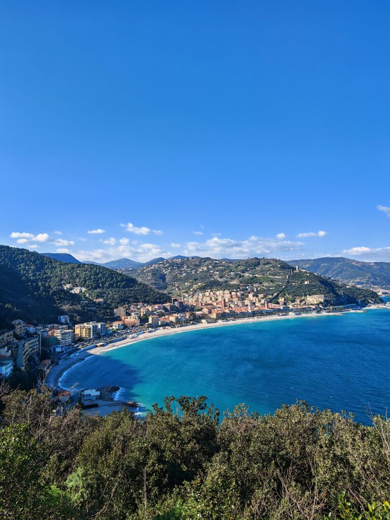
Spiaggia del Malpasso: Cliffs and Clear Water
Profile
Spiaggia del Malpasso: The Beach Named for a Bad Crossing
Italy | Liguria | Savona | Ligurian Riviera
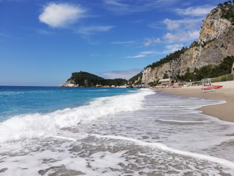
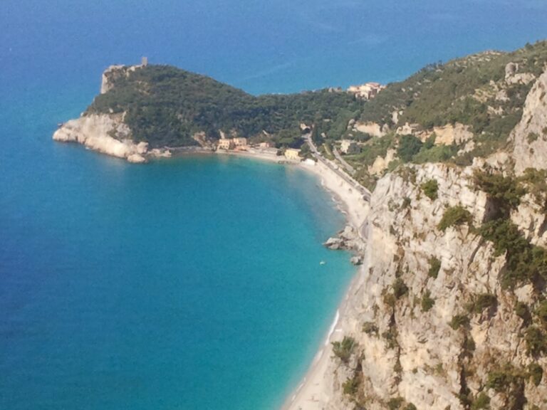
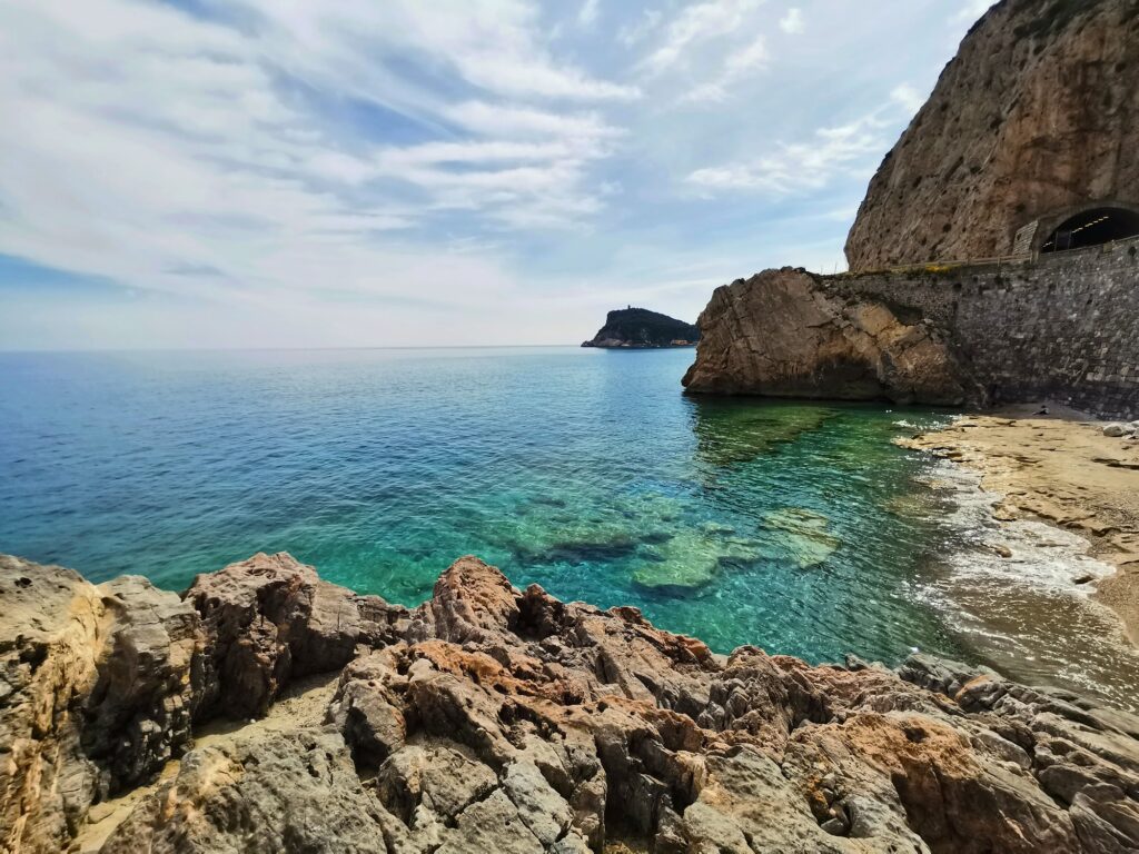
A small watchtower stands above this stretch of coast, built in 1582 by Genoese authorities to stop Varigotti’s fishermen from encroaching on territory belonging to Noli. Varigotti protested the tower loudly enough that the story survived centuries, and locals eventually nicknamed it Torre delle Streghe, the Witches’ Tower, a mocking jab at the women of Varigotti who’d fought so hard against it. A second story clings to the same stretch of cliff: a stone lion near Capo Noli, said locally to be a real lion turned to rock by an irritated sorcerer after it wouldn’t stop roaring for its mate. I couldn’t verify either tale beyond what locals repeat to visitors, but both explain why this dramatic, cliff-locked cove carries more folklore than its modest size would suggest.
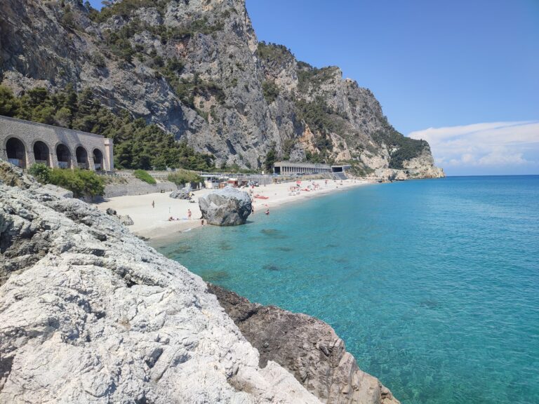
Malpasso itself means, roughly, “bad passage,” and the name likely traces back to how genuinely difficult this stretch of coastline was to cross before modern roads and tunnels cut through the rock, a history the old railway tunnels still visible near the beach quietly confirm.
Water Clarity Beneath the Limestone Cliffs
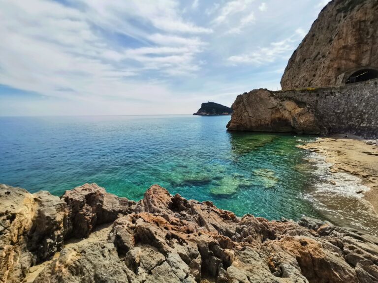
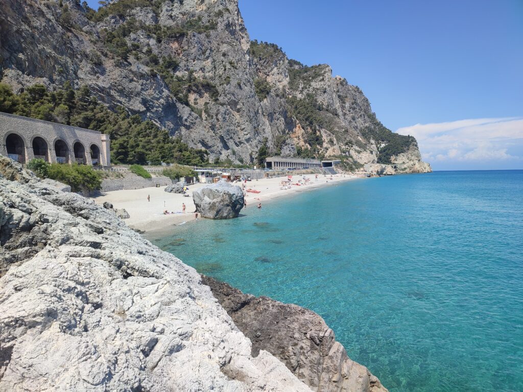
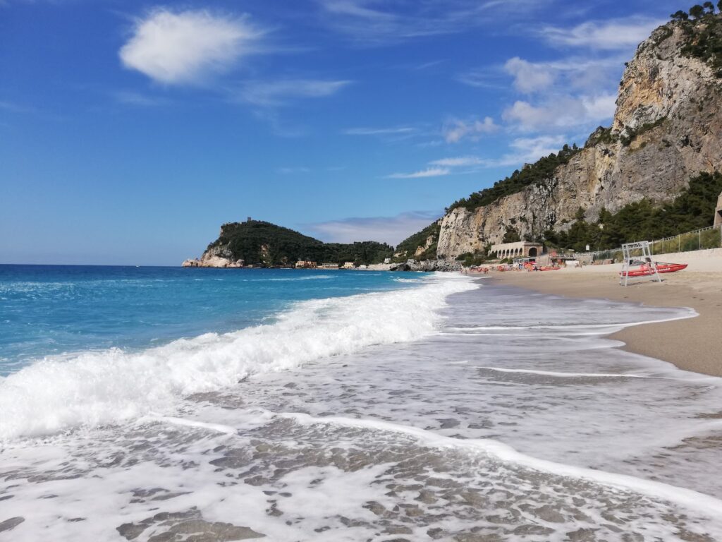
The water at Malpasso holds a reputation as some of the clearest in Liguria, and I found that reputation earned rather than exaggerated, floating on my back and watching small fish move over the rocky seafloor with a clarity I hadn’t expected from a beach this close to a major coastal road. The bay’s shelter beneath towering limestone cliffs keeps the water notably calm, protected from the wind in a way that turns the sea into something closer to a still pool than an open bay. The shore itself runs fine golden pebbles and soft gravel rather than sand, and the seabed drops away more quickly than at gentler beaches nearby, which makes this a better fit for confident swimmers and older children than for toddlers content to sit in the shallows.
Snorkeling the Rocky Headlands
The cliffs flanking Malpasso extend underwater too, and I spent a full morning snorkeling along the rocky edges, finding considerably more to look at here than at the open, sandy stretches further along this coast. Kayaks and paddleboards suit the same terrain, and I’d recommend either for anyone wanting to explore beyond what’s visible from the beach itself, the headlands sheltering enough marine life to reward the extra effort.
Lifeguards, Rinse Showers, and a Small Entry Fee
Malpasso runs on an organized seasonal setup, a small entry fee collected at the gate funding the upkeep of what’s technically an eco-protected cove. I found this a fair trade for how clean and well-maintained the beach stayed even during a busy midsummer visit. Lifeguards operate through peak season, and freshwater rinse showers sit near the entrance. Given the beach’s protected status and organized entry system, I’d expect dogs to require explicit permission here rather than free access, consistent with how Italian beaches generally handle pets on managed or fee-based stretches of coast.
A Kiosk for Coffee, a Short Drive for a Proper Lunch
A single beach kiosk covers the basics, espresso, gelato, and panini through the afternoon, and I found this suited the beach’s generally quiet, unhurried character. For a full sit-down meal, I drove the short distance into Noli or Varigotti, both offering trofie al pesto and fresh seafood in shaded piazzas considerably more relaxed than anything resembling a boardwalk scene.
Getting There: The Via Aurelia Between Noli and Varigotti
Reaching Malpasso means driving the Via Aurelia, the SS1, between Noli and Varigotti, watching for the beach access near the mouth of the old Malpasso tunnel. I found the drive itself genuinely dramatic, cliffside views opening up steadily as the road wound along the coast, and the old railway tunnels, no longer in use since a landslide disrupted this line in 1949, are still visible just off the road if you know where to look.
Parking Before Nine in Peak Season
A paid public lot sits directly across from the beach, and I found arriving before nine in the morning genuinely necessary in July and August, since spaces filled faster here than at any other beach I visited on this stretch of coast. A paved pedestrian staircase leads from the lot down through the rocky hillside to the shore itself.
The Bus Route From Savona to Finale Ligure
TPL Linea Bus 40 runs along this coast connecting Savona and Finale Ligure, and I used it once, asking the driver for the Malpasso stop specifically since it isn’t always obvious from the road. This worked as a reasonable alternative to driving, particularly given how limited parking becomes during peak season.
Comparing Malpasso to Its Immediate Neighbors
Malpasso sits close enough to Baia dei Saraceni that the two effectively share the same stretch of protected coastline between Punta Crena and Capo Noli, though Baia dei Saraceni carries its own Saracen-era history and a slightly gentler entry into the water. For a calmer, more organized alternative nearby, Spiaggia dei Pescatori Noli offers a genuinely different pace, its working fishing boats and medieval town replacing Malpasso’s cliffside isolation with a more social, village-centered beach day.
Watching the Rocks Turn Pink at Sunset
By early evening, the cliffs above Malpasso catch the light and turn a deep pink, a color locals describe as the best reason to stay through the end of the day rather than leaving at midday. I stayed for exactly this on my last visit, watching the rock face shift color while, somewhere out past the headland, a fin broke the surface briefly, gone before I could be certain it was a dolphin and not simply the sea doing what the sea does at that hour.
Map
Sorry, no records were found. Please adjust your search criteria and try again.
Sorry, unable to load the Maps API.
Near by places: