Spiaggia del Marcellino San Giovanni a Piro: Beach Guide
Profile
Spiaggia del Marcellino San Giovanni a Piro: A Small Cove at the End of a Dry Valley
Italy | Campania | Cilento | San Giovanni a Piro | Scario | Costa degli Infreschi e della Masseta
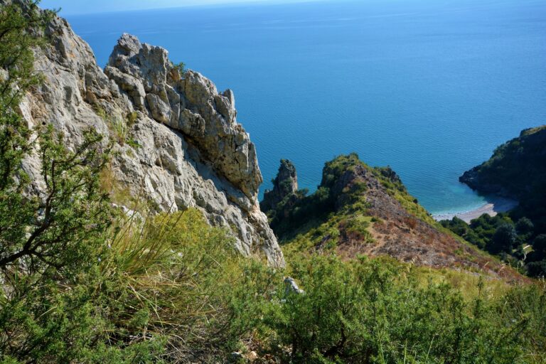
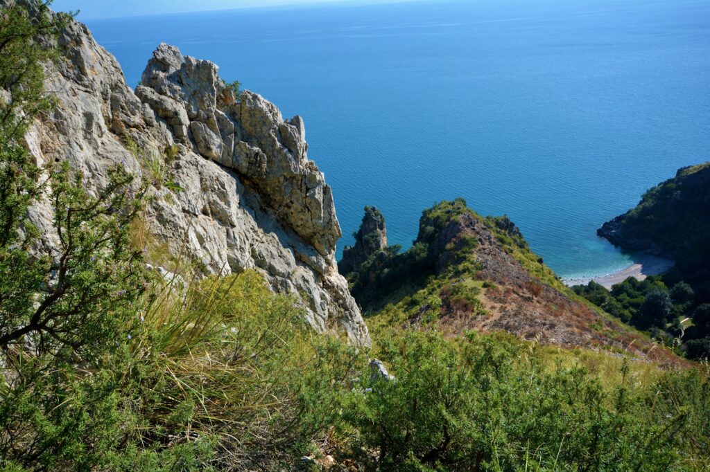
A stream valley that is usually dry runs down from the plateau of Ciolandrea to the sea, and at its mouth lies a small beach known as Marcellino, or Spiaggia dei Francesi. The older name may come from a landing of French soldiers who crossed the valley to join Allied troops, though the one guide that mentions this presents it only as a possibility. The cove is in the Costa degli Infreschi e della Masseta Marine Protected Area, and it has no road. Spiaggia del Marcellino rewards the effort of reaching it, and the effort is part of what it is.
Spiaggia del Marcellino San Giovanni a Piro: Where the Cove Is
The beach lies between the walls of the Marcellino valley, in the territory of San Giovanni a Piro, of which Scario is the coastal hamlet. The source I was given placed it on the border between Marina di Camerota and Scario, and that is the general area, but the municipality is San Giovanni a Piro. A hiking guide calls it a small masterpiece of nature and says the effort is well rewarded.
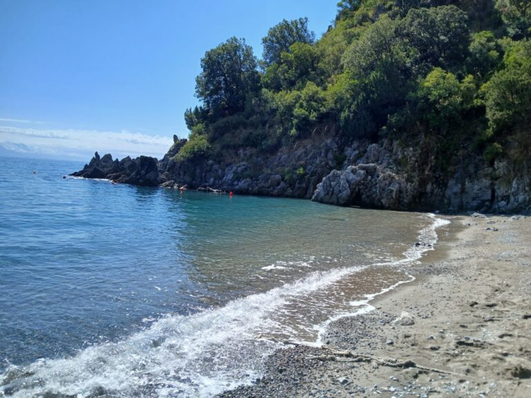
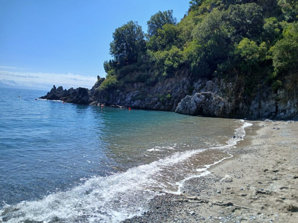
I could not find a description of the shore that all sources agree on. The source I was given says white pebbles and gravel, with small patches of coarse sand, and I have not been able to verify this, so I would expect pebbles and bring shoes for them.
Water, Snorkelling and Children
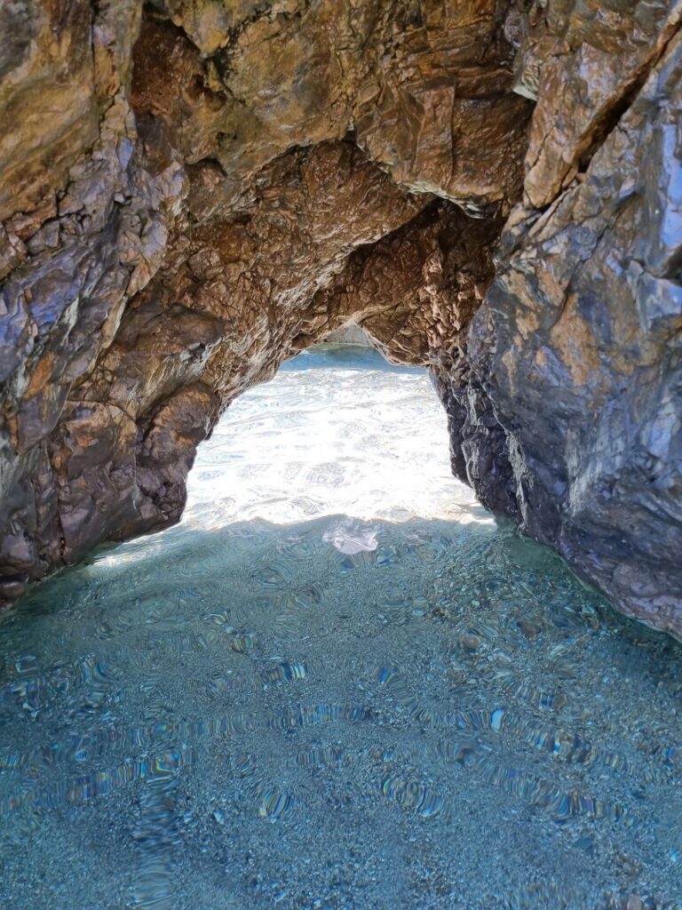
The water is very clear. A trail author says the beach is perfect for bathing and snorkelling. Because I could not find a measured seabed profile, I cannot say how quickly it deepens, and a source-based claim of a moderate slope is unverified.
The access is the main reason I would not take small children. The trail is steep and exposed in places, and the beach has no confirmed lifeguards. For families, the boat is the realistic option, with older children who swim confidently.
Facilities and Dogs
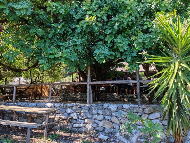
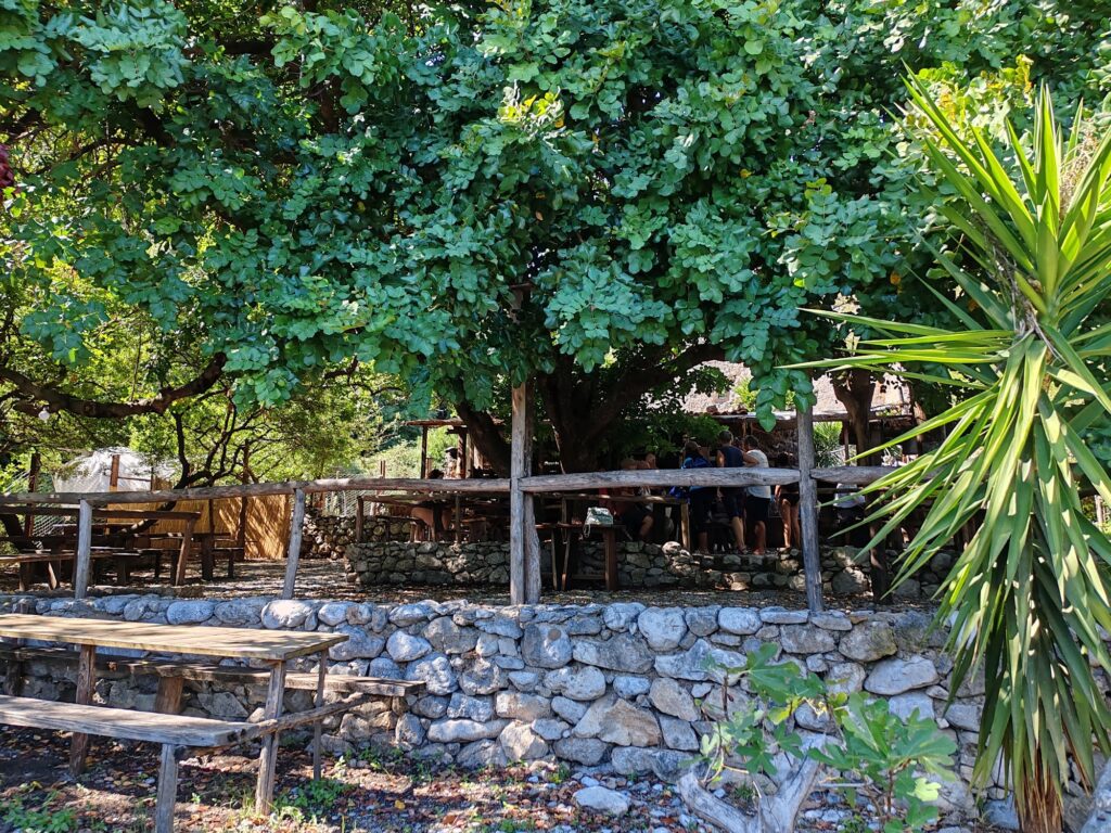
I could not confirm any facilities. The source names a seasonal tavern behind the beach, called Taverna del Lupo, but I found no independent mention of it, so I would not plan on it. Bring water, food, shade and shoes, and carry out your rubbish, since the cove lies in a protected area.
I found no published rule on dogs. Italy has no national ban on dogs on beaches, and the rules are set locally and, within the marine reserve, by the park, so check with the park or the boat operators before bringing a dog, particularly on the steep trail.
Getting There: The Ciolandrea Trail and Boats from Scario
On foot, the walk starts at the Pianoro di Ciolandrea, a viewpoint at 550 metres above the Gulf of Policastro, reached by a road sign near the Sanctuary of Maria SS. di Pietrasanta. From the car follow the track marked Sentiero del Marcellino. It descends through scrub, olive groves and shepherds’ shelters, then a mule track that is exposed in places, a shaded holm oak wood and a steep final descent. One guide gives a round trip of about 4 hours 30 minutes and 550 metres of climb. Water is scarce along the route.
By sea, hikers can arrange a pickup from the beach with a boatman at the port of Scario, and boat trips along the Masseta coast also visit the cove. I could not verify the source’s 15-minute shuttle from Scario, so ask at the harbour. The trail continues to Infreschi for experienced hikers, but it is rated for trekking experts only.
Neighbouring Coves
Heading south along the same protected coast, Spiaggia degli Infreschi is a pebble cove with a cap on visitor numbers, while Spiaggia del Pozzallo is a small cove reached by a 30-minute path or by boat. Each has a different kind of approach, and Marcellino is the most demanding of the three on foot.
Fill your water bottles before the descent, and book the return boat before you start.
Map
Sorry, no records were found. Please adjust your search criteria and try again.
Sorry, unable to load the Maps API.
Near by places: