Almyropotamos Panagia Beach: 2,500-Year-Old Olives

Profile
Almyropotamos, Panagia: Olive Trees Twenty-Five Centuries Old Stand Beside a Beach Named for a Salty River
Greece | Almyropotamos | Styra, Southern Evia
The name Almyropotamos translates as salty river, and the description is literal rather than poetic. A genuine freshwater spring, known locally as the Large Vein, gushes from limestone rocks close to the beach and forms a gurgling stream that pours directly into the sea, its mineral content giving the water the salty character the village is named for. Several other natural water sources exist in the same area, feeding a small ecosystem that supports terrapins, migrating eels, and ducks within the spring’s catchment basin.
Two details from this valley struck me as genuinely remarkable once I had confirmed them. At the Church of Panagia, two olive trees estimated at 2,500 years old still stand, protected under the international Ramsar Treaty on wetlands and ecologically significant sites — trees that would have been mature already when Socrates was alive. Separately, between 1916 and 1966, the University of Athens conducted palaeontological surveys in the Almyropotamos valley that uncovered substantial fossil remains belonging to the so-called Pikermian fauna — small-bodied horses no taller than 1.3 metres, with three toes on each foot, dated to roughly thirteen million years ago and linked by specialists to an ancient steppe environment of Asian origin.
Offshore, the islet of Kavalliani is identified by many scholars with the ancient Glaukonissos, the island where fellow citizens of Karystos are said to have buried Glaukos, son of Dimylos, an Olympic champion — a specific, plausible piece of ancient sporting history attached to a small island most visitors would otherwise pass without a second look.
Getting There: Via Nea Styra, Not Aliveri, by Ferry or by Road
The most direct route from Athens uses the ferry from Agia Marina to Nea Styra, a crossing of the Petalies Gulf that takes roughly an hour; Almyropotamos is then a further drive north along the coast. By road from within Evia, the route runs through Styra itself rather than via Aliveri, following the municipality’s own coastal road south past Nea Styra before reaching Almyropotamos and Panagia.
A regular car ferry also connects Almyropotamos directly with Agia Marina and the Marathon area of Attica, a useful alternative to the Nea Styra crossing depending on timing.
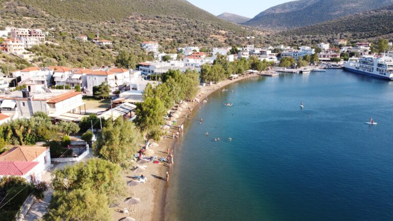
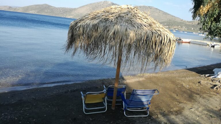
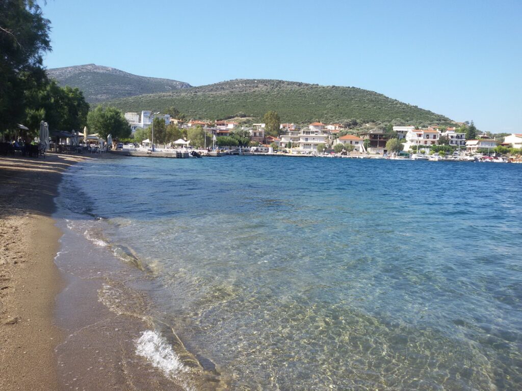
The Beach: An Enclosed Gulf, Calm Water, a Modern Marina
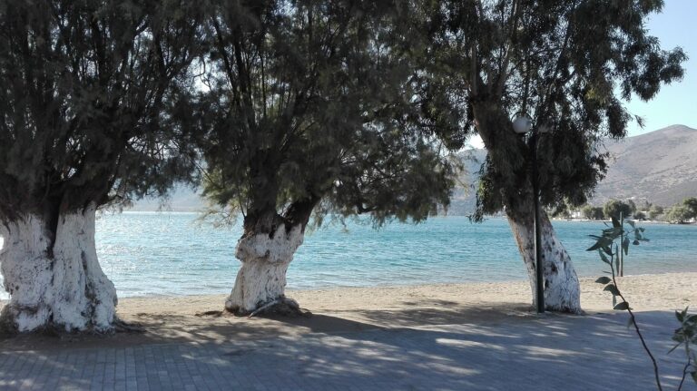
Panagia beach sits within what is consistently described as an enchanting closed gulf, sheltered enough that the water stays calm for swimming, fishing, and casual boating rather than facing the rougher conditions of Evia’s Aegean-facing coast. A marina with modern infrastructure for both small and larger boats operates directly on the beach, and the surrounding landscape — almond trees, fig trees, cypress, and myrtle — gives the bay a cultivated, garden-like character distinct from the starker cliffs found elsewhere along this stretch of coast.
Tavernas line the shore, serving fresh fish from a bay specifically noted as a good fishing spot, alongside rooms and small hotels for visitors staying longer than a day. Water skiing and canoeing are both available locally, and diving trips to the nearby Stouronisi islets and the reef off Mesochoria extend the area’s appeal beyond the beach itself.
Almyropotamos, and its coastal hamlet Panagia, sit in the Municipality of Styra in southern Evia, named for a genuine salty spring gushing from limestone rocks beside the beach. Two olive trees roughly 2,500 years old stand at the Church of Panagia, protected under the Ramsar Treaty, and the surrounding valley yielded substantial thirteen-million-year-old fossil horse remains excavated by the University of Athens between 1916 and 1966. The offshore islet of Kavalliani is linked by many scholars to the ancient burial site of the Olympic champion Glaukos. A sheltered, calm bay with a marina, tavernas, and water sports, reached via Nea Styra rather than Aliveri, by ferry from Agia Marina or by the coastal road through Styra. For the rest of this stretch of southern Evia, I have also covered Agia Paraskevi Beach Karystos Evia Greece and Psili Ammos Beach Karystos Evia Greece, further south near Karystos itself.
Take the ferry from Agia Marina to Nea Styra, or drive via Styra. Look for the ancient olive trees at the church. Ask locally about the fishing before casting a line yourself.


Map
Sorry, no records were found. Please adjust your search criteria and try again.
Sorry, unable to load the Maps API.