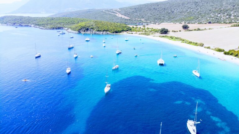
Potamaki Beach Palairos: Just Before the Lefkada Bridge
Profile
Potamaki Beach Palairos Greece: Where the Road Ends at the Pontoon Bridge to Lefkada
Greece | Palairos | Aetolia-Acarnania, West Greece
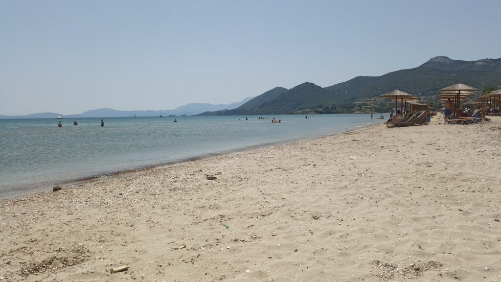
Lefkada is technically an island and technically is not. The shallow lagoon separating it from the Aetolia-Acarnania mainland never required more than a drawbridge to cross, and the Romans had already built one in antiquity; the modern version is a pontoon that swings aside to let taller vessels through. Potamaki Beach lies on the mainland side of this crossing, the road running parallel to the shore before it reaches the bridge. From the beach looking west, the peaks of Lefkada sit on the horizon at a distance that makes them feel both present and unreachable, which is a quality this stretch of coast maintains throughout a day spent on the sand.
The beach belongs to the wider territory of Palairos, 18 kilometres to the east along the coastal road. Palairos is a sailing town in the specific sense that the harbour there is used and discussed in the context of the Ionian sailing routes, its afternoon WNW winds and the shelter of the bay noted in navigational guides with an eye for exactly those conditions. Potamaki inherits those same afternoon breezes, arriving reliably enough to support windsurfing and kitesurfing without requiring the exposure of the islands to the west.
Getting to Potamaki Beach Palairos Greece: West from Palairos Along the Ionian Road
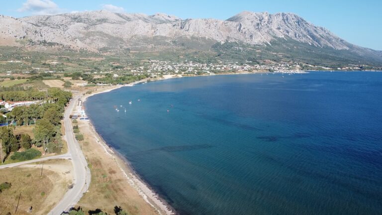
The drive from Palairos covers approximately 18 kilometres and takes around twenty to twenty-five minutes, the coastal road heading west and south through the agricultural plain before reaching the settlement area near Agios Nikolaos and the approach to the Lefkada bridge. The beach runs parallel to the main road in a way that makes it visible from the car rather than hidden behind a turning, which removes any uncertainty about having passed it.
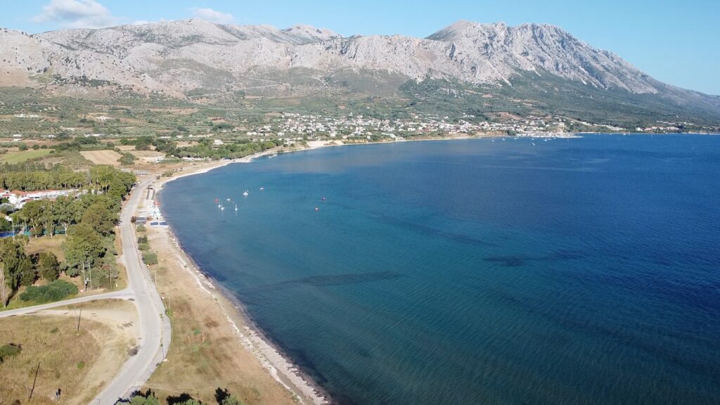
The Acarnanian Mountains are visible inland for most of this approach, rising steeply behind the plain and giving the drive a specific topographical character that most Ionian coastal routes do not share. The mountains descend to the coast close enough here that the contrast between the flat, shallow beach and the mountainous interior registers in a single glance rather than requiring any effort of imagination.
For anyone arriving from further east, the A5 motorway runs through the regional unit and connects to the coast road, and the beach is easy to reach from Agrinio or Missolonghi using the national road network. Parking is available in informal areas behind the beach bar sections and along the roadside access, with the wide, flat terrain making this an uncomplicated stop rather than a beach requiring navigation.
Potamaki Beach Palairos Greece: Shallow Water, Long Shore, a Backdrop That Changes Through the Day
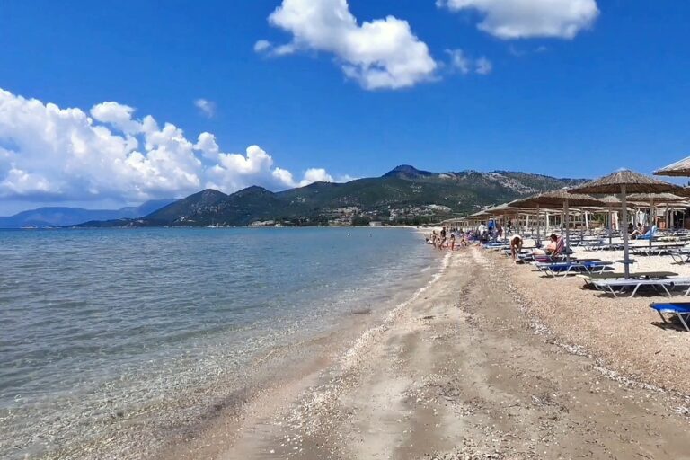
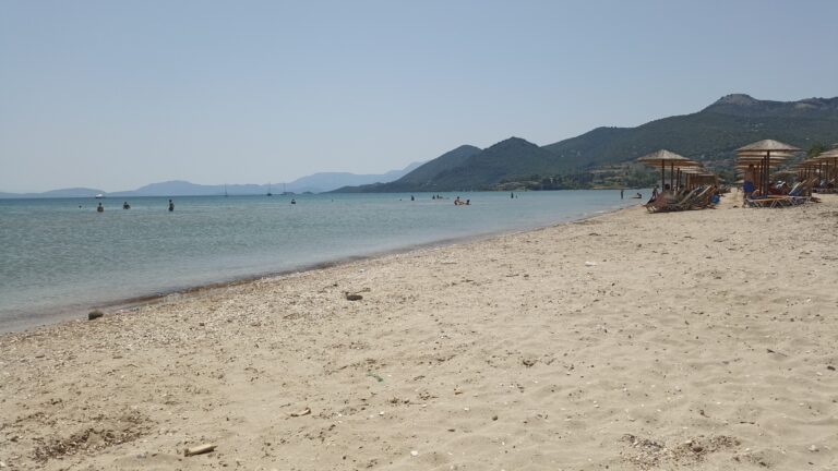
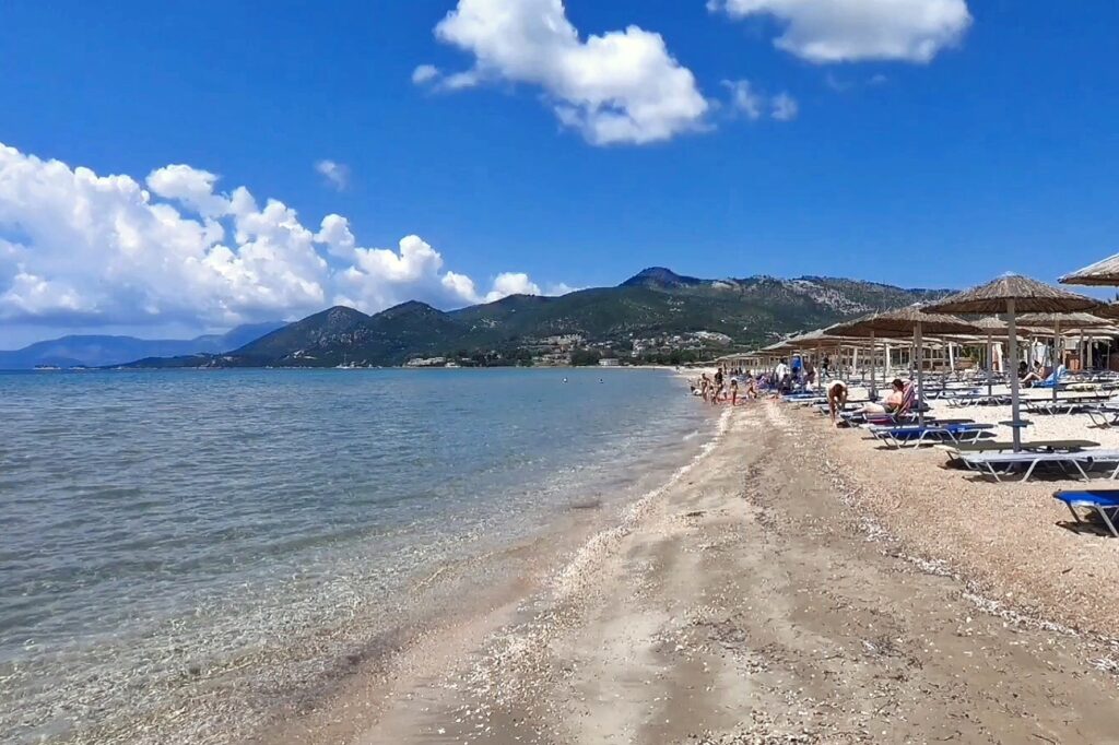
The beach is sand and small pebbles, the seabed sloping so gradually that the water stays shallow for a considerable distance from shore — consistently described as remaining shallow for close to a hundred metres, a measurement that has practical meaning for families with small children who want to wade rather than swim. The water holds a turquoise tone that shifts toward aquamarine in the afternoon when the light angle changes and the breeze picks up surface texture, and the openness of the bay means the water circulates rather than sitting still.
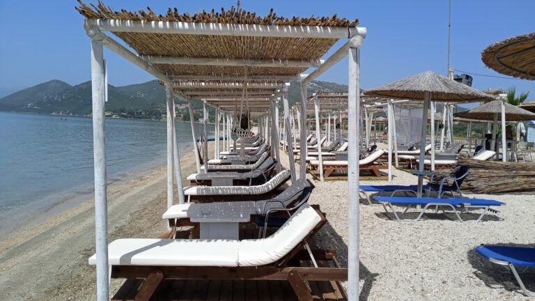
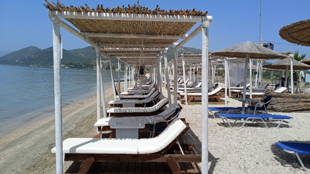
Organised sections with sunbeds and umbrellas are managed by the beach bars working the central stretch, and seasonal tavernas provide food and cold drinks directly adjacent to the sand. The character of the place is relaxed rather than resort-like — busy enough in peak season to have working infrastructure, quiet enough outside of it to feel like a beach that belongs primarily to the region rather than to passing tourism.
The afternoon wind deserves a specific mention rather than a vague gesture at water sports. The WNW wind that arrives reliably from the direction of the open Ionian each afternoon has made the waters off this coast usable for windsurfing and kitesurfing in the way that reliable, predictable wind conditions always do — equipment rental and schools operate along this stretch of coast specifically because the wind arrives on schedule rather than sporadically. For swimmers who prefer flat water, the morning hours before the wind builds are the reliable window; for anyone on a board, the afternoon is the point.
The Acarnanian Mountains and the Context Behind the Beach
The Acarnanian Mountains that form the eastern backdrop to Potamaki are the same range that defined the ancient region of Acarnania — one of the two historical territories combined after Greek independence to form the largest regional unit in Greece by area. The landscape immediately behind the beach is agricultural: olive groves and the flat plain that the rivers coming off the Akarnanians have deposited over centuries, running to the coast at several points along this stretch. That productive plain is visible from the sand and gives the approach to the beach a specific texture — the transition from cultivated interior to open sea happening abruptly rather than through any gradual coastal town.
Palairos to the east, the nearest town, holds a sailing heritage rather than a beach resort character, and the distinction matters for understanding what Potamaki is and what it is not. The beach draws day visitors from Palairos and the surrounding villages, and Vathiavali Beach Palairos Greece, on the other side of Palairos, represents the more enclosed, sheltered bay character of this coast in contrast to Potamaki’s open, wind-exposed stretch.
Potamaki Beach Palairos Greece and the Road to Lefkada
The pontoon bridge to Lefkada begins a short distance from the western end of the Potamaki beach area, and the relationship between the two is not incidental. The beach functions partly as the last stop before crossing, or the first stop after crossing back, and the easy interchange between mainland and island at this point is one of the specific qualities that makes this stretch of coast unusual in the wider Ionian context. Lefkada is visible from the beach throughout the day, its mountain ridge running along the horizon in a way that makes the water between them feel like a narrowing rather than a separation.
The island itself carries the name derived from the Greek word for white — leukos — referring to the gleaming white limestone of its western cape, visible in clear conditions from the mainland shore. The cape, Doukato, is at the southern tip of the island; the northern end, connected to the mainland by the canal and bridge visible from Potamaki, is where the sailing town of Lefkada itself sits, the marina flanked by the Santa Maura Fortress that the Venetians and Ottomans both occupied at different points across the island’s history.
The beach is at its clearest in the early morning before the afternoon wind arrives, the water flat and the mountains still casting shadow over the eastern end of the shore. The wind that arrives later is not a problem to be worked around so much as a condition to be understood: the beach’s character changes between morning and afternoon in the specific way that open, wind-exposed coasts always do, and planning around that distinction rather than despite it produces a better day. The Lefkada bridge visible at the western end of the road is not a destination but a reference point — it puts the geography of this coast into immediate, visible terms that no map quite manages.
Map
Sorry, no records were found. Please adjust your search criteria and try again.
Sorry, unable to load the Maps API.
Near by places: