Arkoudilas Beach Corfu: Wild South With Clay Cliffs
Profile
Arkoudilas Beach, Corfu: The 2km Golden Sandy Southernmost Beach, Named After a Bear Tree or an Ancient Cape, With WWII Pillbox and a Monastery Built in 1700 on the Cliff Above
Greece | Asprokavos | Corfu, Ionian Islands
There are two theories about the name. One is that it came from French and the designation “Arc del Isle”, possibly because the beach looks like an arch. The second theory, by more recent historians, claims the name came from a particular type of tree that abounded in the area called “arkoudodentro” (bear tree). A third interpretation connects it to the ancient name of the cape, Akrodilon — a reference to the high location above the cliffs.
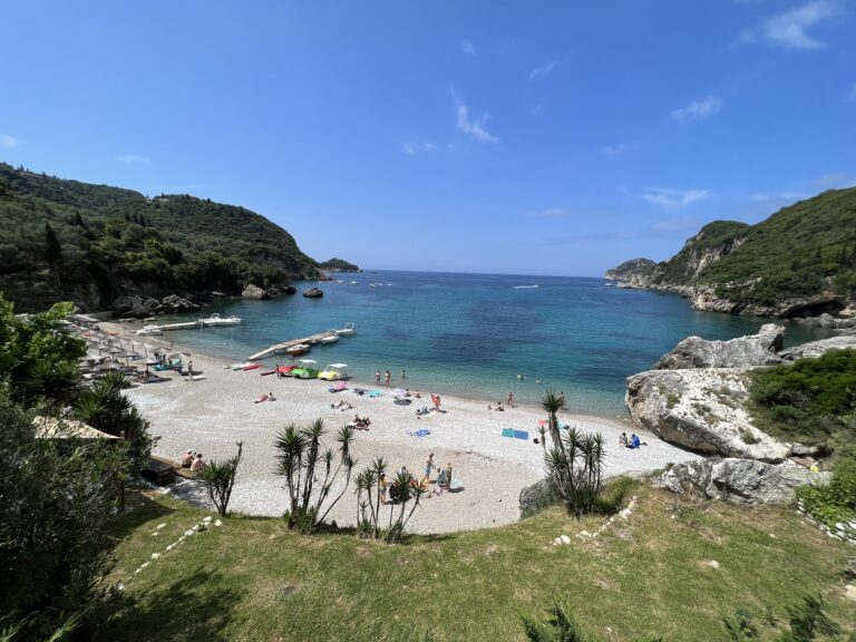
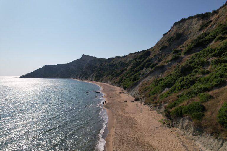
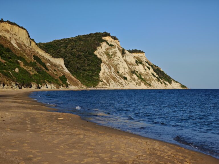
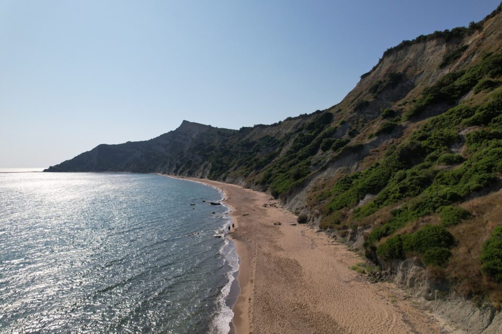
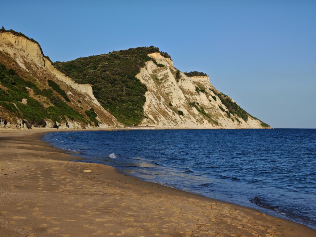
What is not in doubt is what the beach looks like. The dramatic and majestic landscape with the towering cliffs, bare on the seaside but green on the other, combined with the huge golden beach shaped and painted by nature, makes it — in the opinion of those who know it — the best beach in Corfu. The comparison is made more pointed by a direct reference: it is not so well known as the Navagio (shipwreck) beach of Zakynthos because it did not have the luck, or the misfortune, of a smuggling ship to sink here. The beach of Arkoudila existed for centuries and will still exist when Navagio, due to the landslides, disappears.
The honest access reality: Arkoudilas Beach can only be reached on foot, by 4×4 vehicle, or by boat. The road is unpaved and doable for the first part, but after a while it becomes more rocky, steeper, and more challenging until it turns into a track only suitable for four-wheel drives.
Getting There: 52km From Corfu Town, 2.7km Walk From Kavos, Rough Road (4×4 Best), No Toilets or Showers — Bring Everything
The beach of Arkoudilas is approximately 52 km from the centre of Corfu Town. It is located at the southernmost tip of the island, about 2km from Kavos.
From Kavos, which is a 46-kilometre drive from Corfu Town, it’s a 2.7-kilometre walk to Arkoudilas Beach. Although there are some steep parts, the walk is very doable even for inexperienced hikers.
The road is rough! A 4×4 or Jeep is best. Smaller cars might struggle. No toilets or showers — bring water, snacks, and sunblock. Bees are present, especially near the shore.
The drive from Kavos takes approximately 10 to 12 minutes to the start of the rough section; after that, walking is the safest approach.
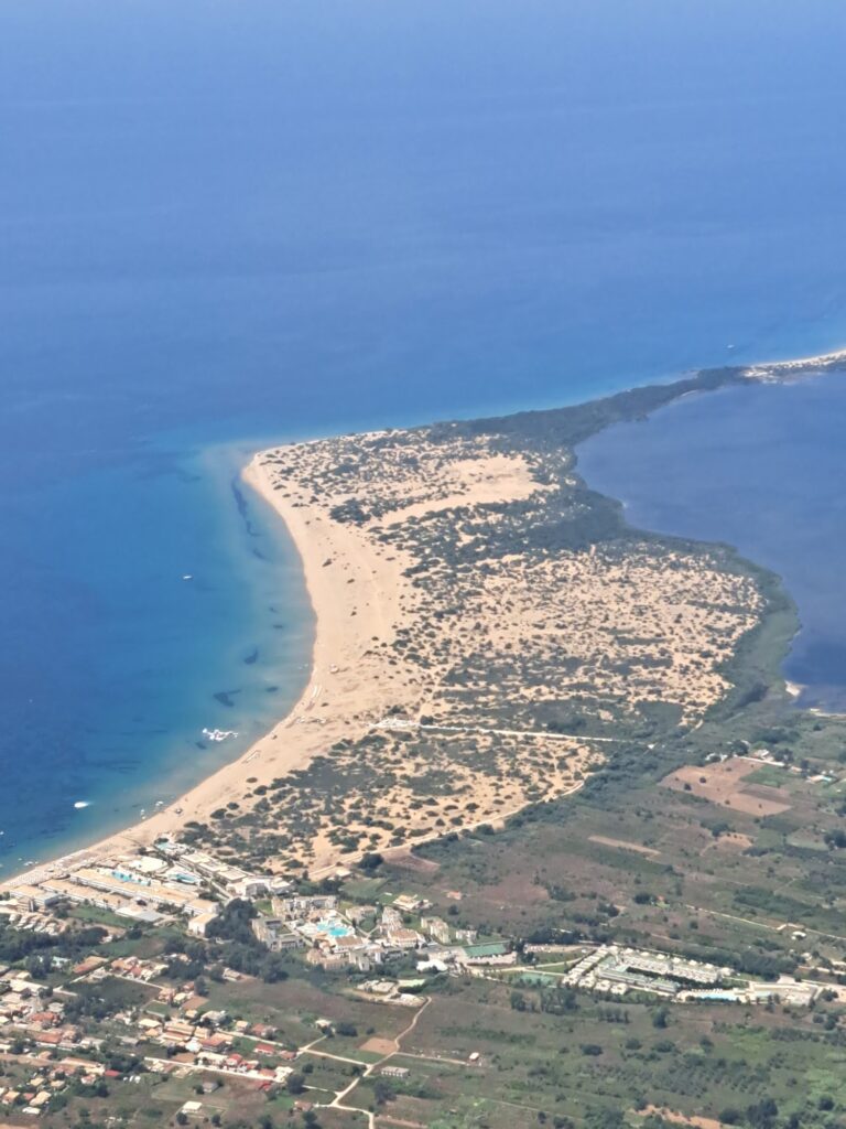
The Beach: 2km Long, Fine Golden Sand, Clay Cliffs, Mud Treatment, Shallow Then Steeply Deep, One Canteen
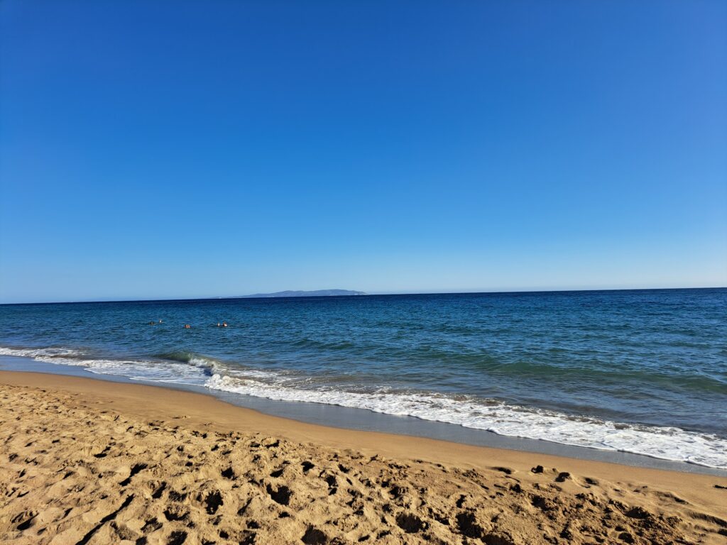
This is probably the nicest beach in the southern half of Corfu Island. A secluded place of breathtaking beauty, especially when it is empty. It gets very busy during high season, but if you go early in the morning it is a great spot for a bit of peace and relaxation. The beach is long but not wide. It is clean and nice with white sand and clear water. There is the ability to drench yourself in mud in order to have a full body mud mask.
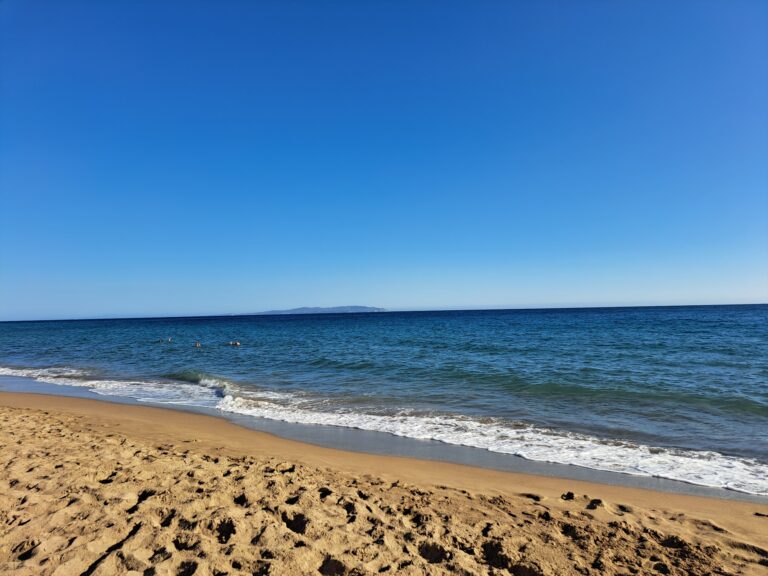
The coast is embraced by very high cliffs. The water is shallow for several metres from the shore, but then the sea deepens steeply.
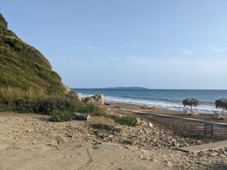
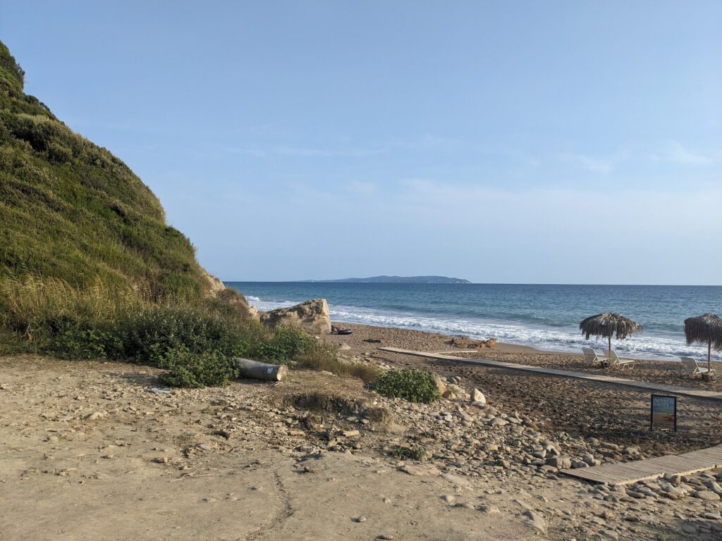
Arkoudillas Beach is unorganised, but in summer there’s usually a small pop-up bar selling drinks and offering sunbeds and umbrellas for rent. Other than that, there are no facilities — make sure to bring your own supplies.
The Monastery of the Blessed Virgin Mary (Panagia Arkoudila): Built Around 1700, Quartanos Family Coat of Arms Above the Gate, WWII Pillbox at Its Southernmost End
The monastery was built around 1700 by the sister of a noblewoman who also built the Church of Agios Theodoros in Lefkimmi. The land on which the monastery was built was donated to the Quartanos family by the ruling Venetians. Above the entrance where the bell tower is located, you can still see a carved relief of the coat of arms of the Quartanos family.
Until the end of the 19th century, the complex was used by monks who looked after its maintenance. After that, the monastery was abandoned and in the 1920s it started deteriorating due to negligence.
At its southernmost end is an old pillbox from World War II. The WWII defensive position at the monastery’s southern end is the specific detail that layers the 1700 religious building over a 1940s military structure, all of it now quietly disappearing into the forest above the beach.
The Name of the Cape: Asprokavos (White Cape) — Visible From the Sea Since Venetian Times
The beach is located near the southernmost tip of the island, where Cape Asprokavos is located, formerly called Cavo Bianco (White Cape) by the Venetians.
Asprokavos is the southernmost cape of the island, named after the steep and tall white rocks that can be seen from far away as someone approaches Corfu from the south. The white clay cliffs that provide the therapeutic mud and the dramatic backdrop are the same white rocks that Venetian navigators used as their landmark for the island’s southern point.
Kavos: The Contrast 3km North
Kavos has narrow streets lined with tourist shops and nightclubs, giving a very different impression from the rest of the island. Arkoudilas and Kavos are 3 kilometres apart — the specific Corfu duality of the party resort and the wild empty beach that requires real effort to reach sitting within a short drive of each other.
Arkoudilas Beach at Cape Asprokavos, Corfu is the 2-kilometre golden sandy southernmost beach 52km from Corfu Town — rough road after the initial section (4×4 best, walk from Kavos 2.7km is viable), no toilets or showers (bring everything), clay mud treatment on the beach, the monastery of Panagia Arkoudila (built 1700, Quartanos family coat of arms above the gate, WWII pillbox at its end) on the cliff in the forest above, and Kavos 3km north for the contrast.
Walk from Kavos in the morning. Apply the clay. Leave before it gets busy.
Map
Sorry, no records were found. Please adjust your search criteria and try again.
Sorry, unable to load the Maps API.
Near by places: