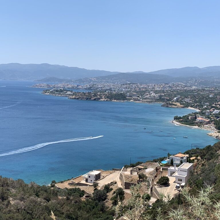
Pachia Ammos Beach Crete: Shore at the Island's Narrowest Point
Profile
Pachia Ammos Beach, North Crete: The 500m Sand and Pebble Shore at the Narrowest Point of the Island, Where the Ha Gorge Exits Into the Sea and the Ancient City of Minoa Stood
Greece | Pachia Ammos | Lassithi, East Crete
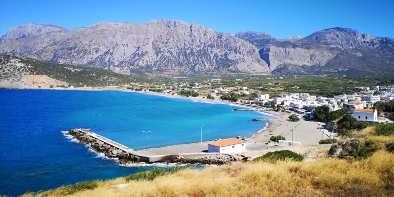
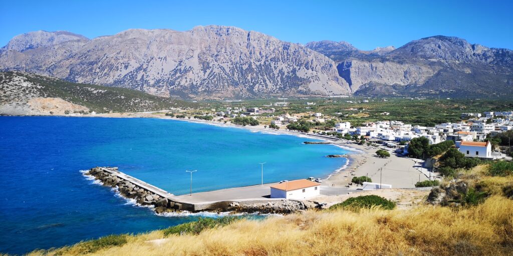
At Pachia Ammos, the island of Crete is only 17 kilometres wide from north to south. The village on the north coast and Ierapetra on the south are 17 kilometres apart at this point — the narrowest crossing on the entire island. The name means thick sand, a literal description of the pebbly, coarse-grained beach that stretches for 500 metres in front of the village.
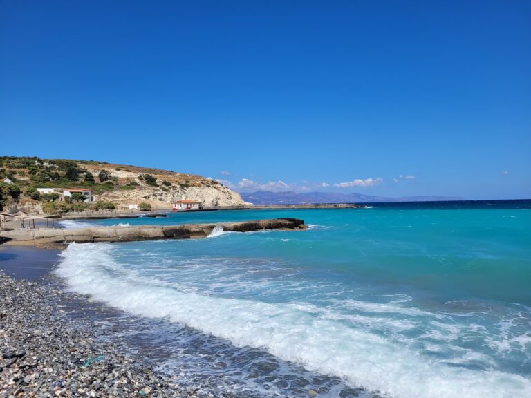
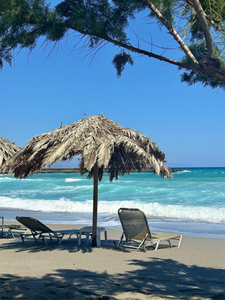
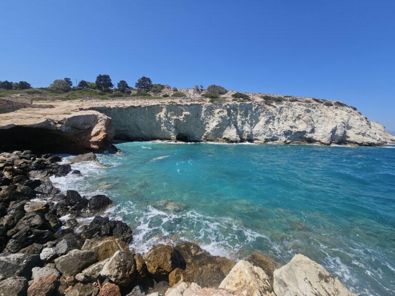
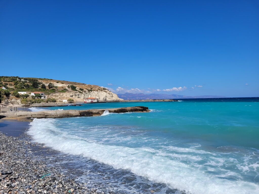
The beach divides into two distinct sections with different characters. The western part is sandy, protected by the harbour breakwater, Blue Flag awarded, organised with sunbeds and umbrellas, a lifeguard on duty, and a seabed that shelves slowly — the section that works as a family beach. The eastern part is large pebbles with a rocky seabed, unorganised, frequently wavy and exposed to the northern winds, and home to several tamarisk trees that provide the only shade on hot days. A stream exits at the eastern end of the beach — this is the outlet of the Ha Gorge, which carries water from the Thrypti plateau during winter and spring. In summer the stream is dry.
The eastern section’s wave action makes it popular with windsurfers, kitesurfers, and surfers, particularly when the northerly winds blow in summer. Currents can carry debris along the eastern section because of the village’s position at the southern end of the Gulf of Mirabello — the western Blue Flag section avoids this problem entirely.
Getting There: 20km East of Agios Nikolaos on the Main Road, 10 Minutes From Ierapetra, KTEL Bus Stop in the Village
Pachia Ammos sits on the main national road connecting Agios Nikolaos with Sitia and Ierapetra — the route that crosses the narrowest part of Crete. By car from Agios Nikolaos, the drive takes approximately 20 minutes. From Ierapetra on the south coast, it is 10 minutes north on the same road. There is free parking along the coastal road and in the village centre.
The KTEL bus service running between Agios Nikolaos, Sitia, and Ierapetra stops in the village — one of the more accessible beach villages in east Crete by public transport.
The Ha Gorge: Expert Canyoneering, 35m Rappels, the Mastoras Waterfall at 215m — One of Greece’s Tallest
The Ha Gorge (Cha Gorge) begins near the church of Agia Anna at approximately 800 metres altitude on the Thrypti plateau and exits near the eastern end of the Pachia Ammos beach. The gorge narrows to 30 centimetres at certain points, squeezed between cliffs that rise to 400 metres. The Mastoras waterfall reaches 215 metres — one of the tallest waterfalls in Greece — and there are nine rappels in the full descent, the highest at 35 metres. The complete traverse demands canyoneering skills, experience, and specific equipment.
For less experienced visitors, a walk from the Monastiraki village end of the gorge on the lower section reaches a pond at the base of the final waterfall and passes ancient grain mills — a significant partial experience without requiring technical gear. The village of Monastiraki is 5 kilometres southeast of Pachia Ammos.
The Ancient City of Minoa and the Institute for Prehistoric Aegean Studies
Pachia Ammos is built on the site of the ancient city of Minoa, an important harbour town in antiquity. The Institute for the Study of Prehistoric Aegean of East Crete conducts ongoing excavations in the area.
Gournia — 2 kilometres west — is the most significant Minoan archaeological site in the immediate region. The excavated town is the most completely preserved Minoan settlement known, with house foundations, streets, a small palace, and artefacts from approximately 1700–1450 BC. The site is open to visitors, free or at minimal charge depending on current arrangements, and the views from its hillside across the Gulf of Mirabello are among the finest in east Crete.
Sykies Beach and Spathi Cape: 400m North on Foot
A coastal walk of approximately 400 metres north from the main beach reaches Sykies Beach — named after the fig trees growing there, quiet and less visited. Continue further and the coast reaches Spathi Cape (the Sword of Homatas), where cliffs rise to 250 metres. The cape is accessible from Tholos by boat only.
Pachia Ammos Beach in north Crete is the 500-metre sand and pebble shore at the narrowest point of the island — western section Blue Flag, sheltered by the harbour breakwater, organised with sunbeds and lifeguard; eastern section large pebbles, wavy, tamarisk shade, popular with water sports; the Ha Gorge exit at the east end (one of Greece’s deepest and most technical canyons); the ancient city of Minoa underneath the village; Gournia Minoan settlement 2 kilometres west; 20 minutes by car from Agios Nikolaos, 10 minutes from Ierapetra, and KTEL bus stop in the village.
Turn into the village from the main road. Park near the harbour. Swim on the west side.
Map
Sorry, no records were found. Please adjust your search criteria and try again.
Sorry, unable to load the Maps API.
Near by places: