
Torre Paola Beach Sabaudia: Tower, Dunes and Wind
Profile
Torre Paola, Sabaudia: The Beach Below the Tower Where Circeo Meets the Dunes
Italy | Lazio | Circeo National Park | Sabaudia | San Felice Circeo
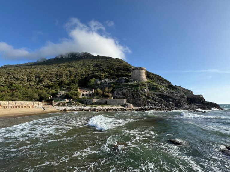
Torre Paola creates a small puzzle for anyone writing an address. The tower stands in San Felice Circeo, on the rock of the promontory, while the beach at its foot belongs to the municipality of Sabaudia. A beach guide to Sabaudia lists the Torre Paola beach as the first of the town’s best, and a guide to San Felice Circeo mentions it as a neighbour, in the orbit of the Circeo but not part of it. Torre Paola is the point where the promontory ends and the long dune coast begins.
The Tower Is in San Felice Circeo, the Beach Is in Sabaudia
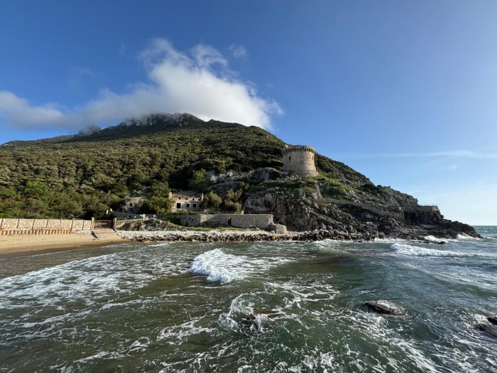
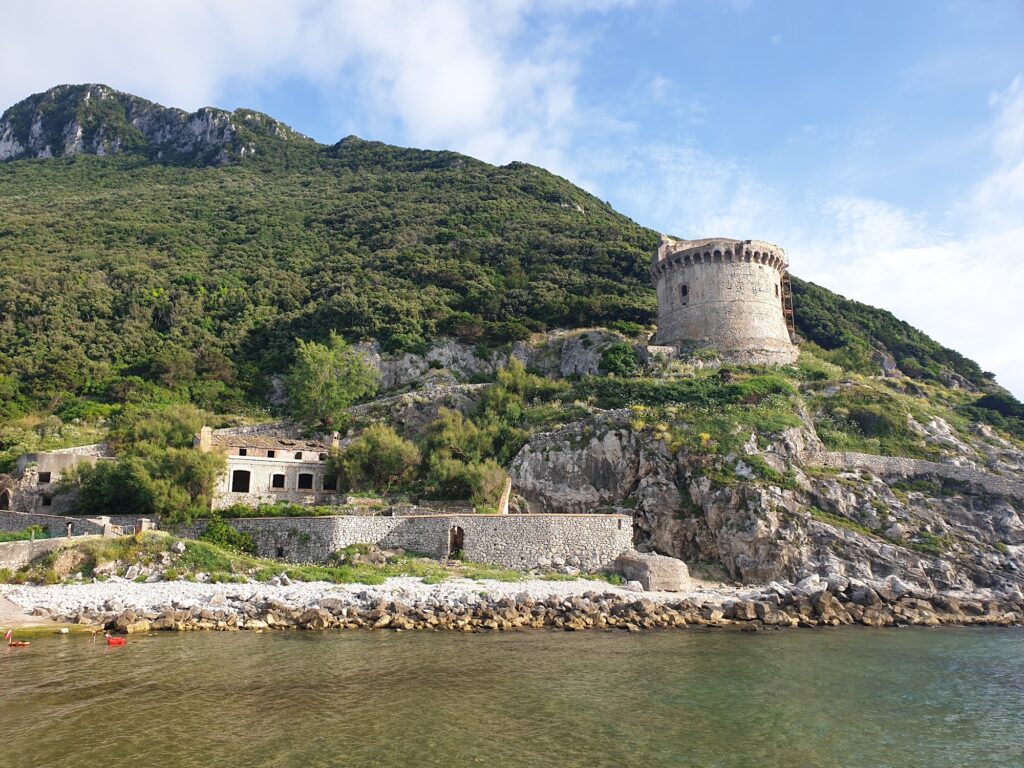
The distinction matters when you are planning. The tower is a coastal fortification of the sixteenth century, and the beach below it belongs to the Sabaudia side of the coast. The municipality boundary runs through the area of the promontory, and the tower and the beach share a name more than an administration.
A national-park guide describes the tower as a fortification of the fourteen-hundreds and fifteen-hundreds perched between the rocks, which is wider than the other sources. I have used the sixteenth-century date, which the regional history gives.
Pius IV’s Towers and the Only One Left Intact
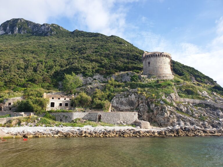
Wikipedia records that Pope Pius IV ordered the towers of the Circeo coast in 1562, in a brief that entrusted the work to the lords of Sermoneta and San Felice, to protect the area from Saracen raids. Torre Paola resisted an attack and avoided major damage under its commander, Ubaldi Piemontese. A travel writer adds that, of the four towers of the Circeo National Park, it is the only one still intact, and that the system of towers communicated by mirrors and smoke signals. From the tower you see the Pontine Islands, the wild beach of Sabaudia, the lakes and the Roman Darsena.
A Stone Beach Beneath the Tower, Dunes Along the Canal
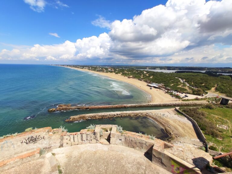
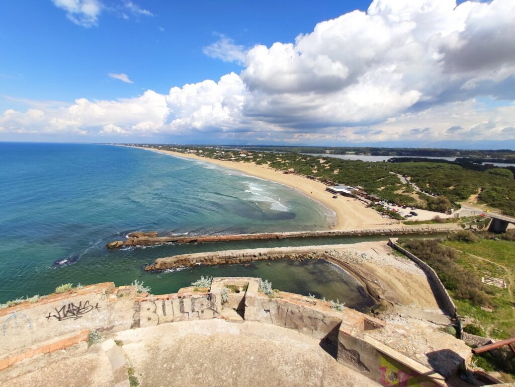
The beach guide describes the shore under the tower as made of stones, with few people, separated from the dune by the Torre Paola canal, and adds that it is not ideal for small children because of its position. Beyond the canal, the beach becomes the long strip of golden sand and dunes that runs toward Latina, with Mediterranean scrub on the dune. The park’s dunes reach up to 27 metres in height and run for more than 20 kilometres in total, according to a regional news report.
The source describes soft sand and kilometres of beach at the foot of the tower, which is true of the dune side but not of the stones directly under the tower, so I have separated the two.
Wind, Surf and the Canoe Route to Lake Paola
A travel writer calls Torre Paola the most celebrated beach of Sabaudia, a long wild stretch of dunes, swept by wind and washed by clear water, and a paradise for surf and kitesurf. The wind is the reason I would treat it with caution for swimmers and small children, and lifeguard cover, which I could not confirm for each sector, becomes important.
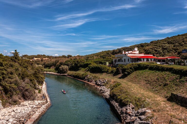
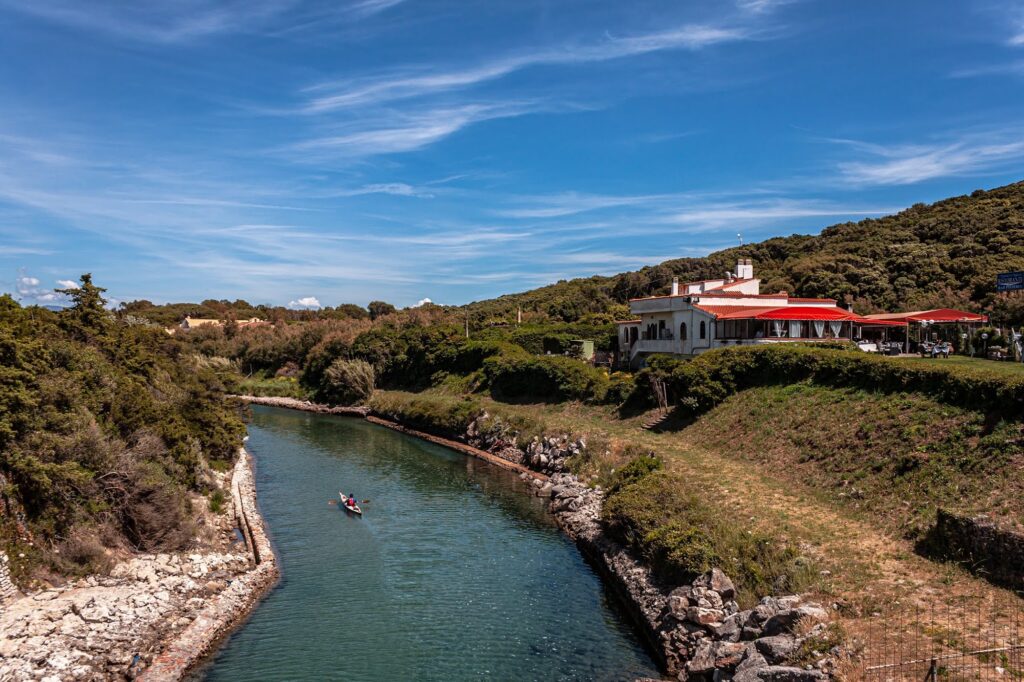
Lake Paola, also called Lake Sabaudia, is about four kilometres long and separated from the sea by the dune, and is described as perfect for canoe trips and birdwatching. The park has organised canoe outings starting from the beach of Torre Paola near one of the lidos, the Saporetti establishment.
Lidos, the Free Stretches and the Park Rules
Parts of the beach are free and open to everyone, according to the beach guide, and lidos operate on the neighbouring stretches. I could not verify the source’s water-sports desks, public toilets or parking details, so check locally. The beach lies within a national park, and the park plan for the stretch from Torre Paola to Capo Portiere sets out dune protection and the management of summer bathers, so rules on access, dunes and dogs may apply. I could not find a specific dog rule, so ask the park or the lido before bringing a dog, and keep to the marked paths across the dunes.
Reaching the Tower and the Beach
The beach is at the southern end of the Sabaudia seafront, at the point where the road meets the Torre Paola canal and the promontory begins. A coast guide describes a viewpoint on the road that climbs the promontory, with views of the long beach, the dunes and Lake Paola. I could not confirm the road names in the source, the 10 and 10–15 minute drive times, the Darsena parking fee or the seasonal shuttle, so use the beach name in a navigation app and check parking before you arrive. Cyclists can follow the coastal routes in the park, but I could not verify the bike path described in the source. For the coast farther south toward Gaeta, see Bazzano Beach Sperlonga and Il Fortino Sperlonga.
Climb to the viewpoint on the promontory road before leaving, to see the dune coast stretching away to the north.
Map
Sorry, no records were found. Please adjust your search criteria and try again.
Sorry, unable to load the Maps API.