Paralia Elinta: A Quiet Cove Below Anavatos
Profile
Paralia Elinta: A Quiet Cove Below a Mountain That Remembers 1822
Greece | Chios | North Aegean | Aegean Sea
The mountains rising behind Paralia Elinta hold the ruins of Anavatos, a medieval village built into a near-vertical granite peak and known historically as one of the most defensible settlements on Chios. That defensibility was tested in 1822, when Ottoman forces swept across the island during what’s remembered as the Chios Massacre, one of the defining tragedies of the Greek War of Independence. Anavatos held out longer than many settlements, but when the village finally fell, a considerable number of its residents, according to accounts passed down since, chose to die on the rocks below rather than face capture. The village was never really resettled afterward, and a later earthquake in 1881 finished what the massacre had already begun. Today Anavatos stands empty, sometimes called the Mystras of the Aegean, a genuinely somber landmark visible from the road that winds down toward Elinta’s own quiet, considerably gentler stretch of coast.
Local lore also connects this bay to a considerably more recent conflict, with the Greek submarine Papanikolis reportedly using Elinta’s deep, sheltered waters as a hiding spot during the Second World War, a detail I couldn’t independently verify beyond what residents repeat, but one that fits the bay’s genuinely fortress-like geography well enough to sound plausible.
A Deep, Sheltered Bay That Stays Still
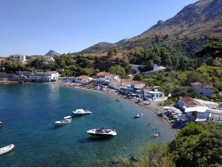
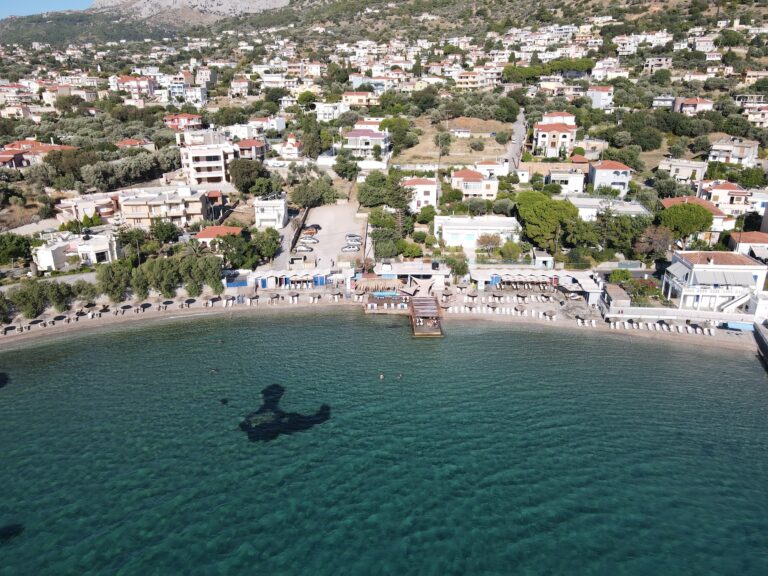
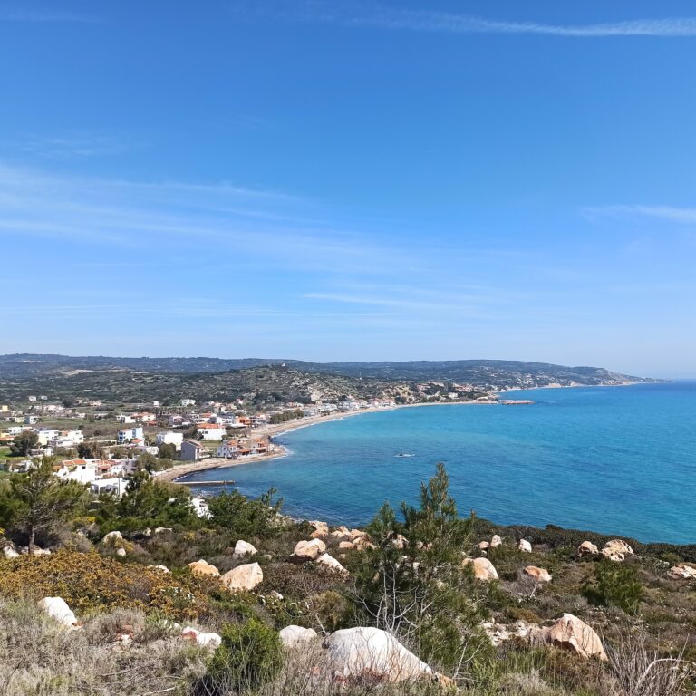
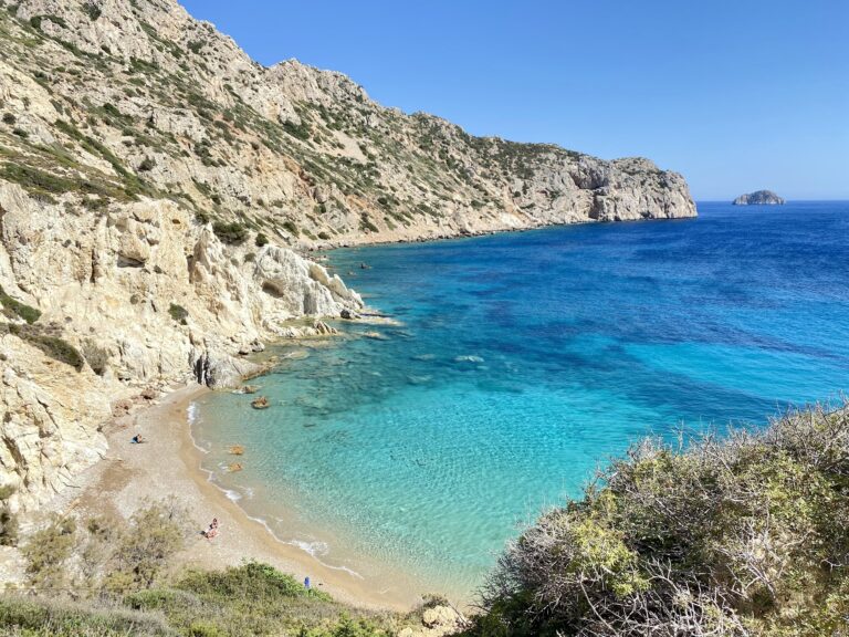
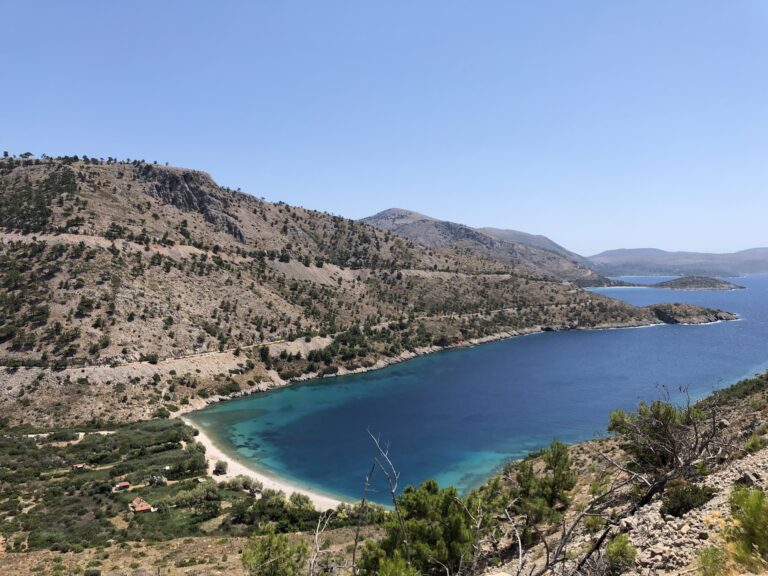
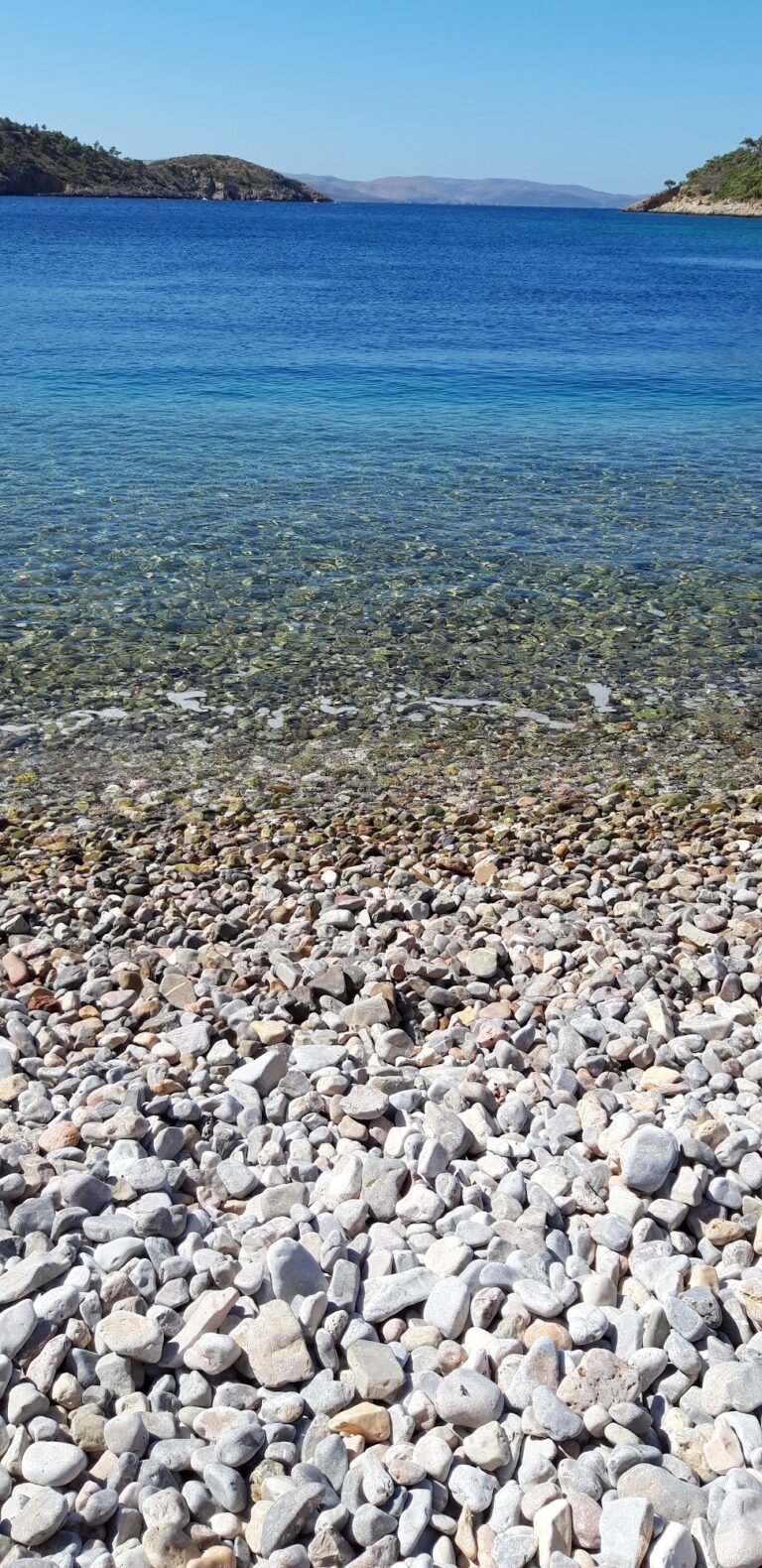
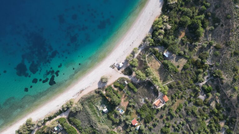
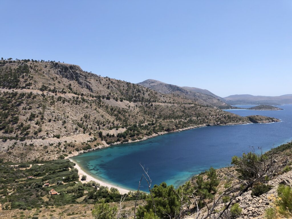
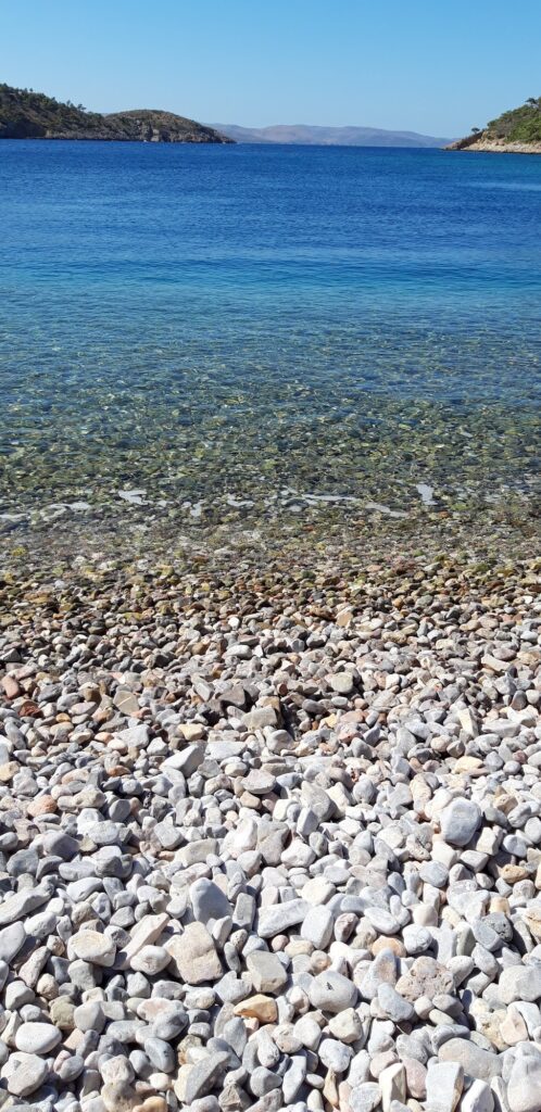
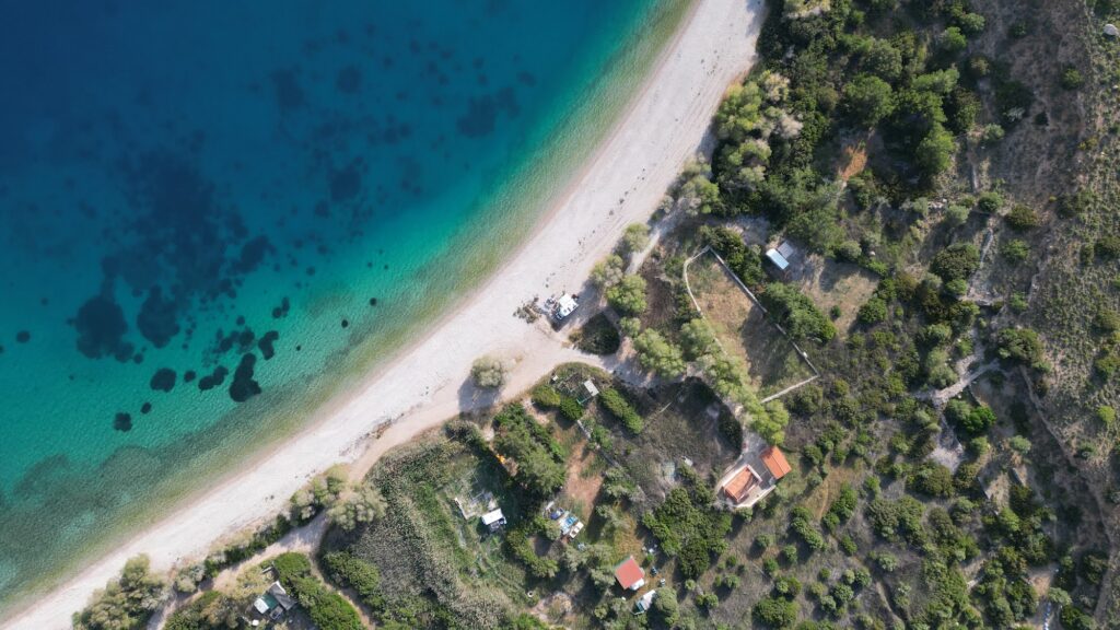
Elinta’s water holds a reputation as some of the clearest on Chios, and I found that reputation earned, the bay’s depth and the high hills surrounding it keeping conditions mirror-still even when wind was clearly active elsewhere on the island. Smooth white pebbles and light sand line the shore, and the color shifted through a genuine turquoise-to-indigo gradient that made the whole cove feel considerably more dramatic than its quiet, unassuming access road suggested.
Nothing Organized, Deliberately
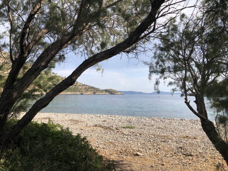
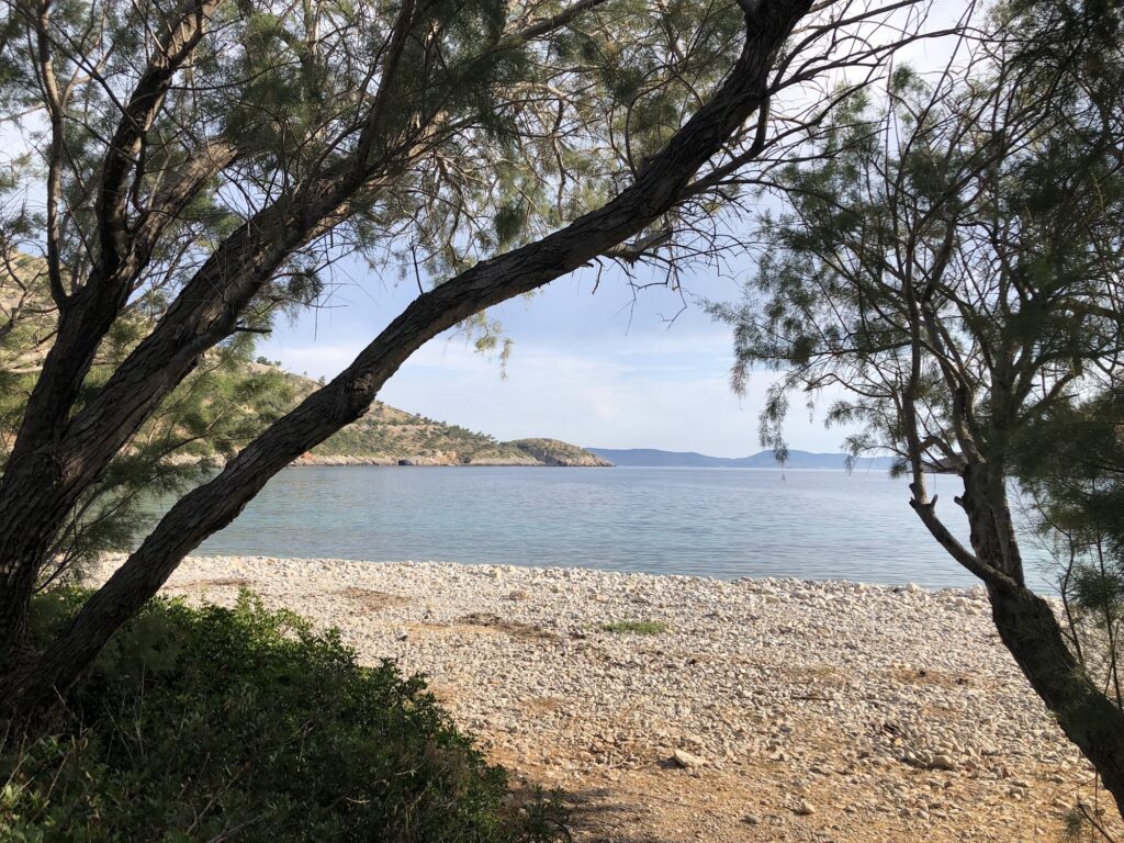
Elinta remains entirely free of beach bars or rented sunbeds, and I brought my own shade, water, and food on every visit, relying on the mature tamarisk trees fringing the back of the beach for additional relief from the midday sun. Given how thoroughly unorganized this cove stays, dogs would likely be fine here on a leash following the standard rule for Greek beaches, and I found the whole atmosphere suited visitors specifically looking for distance from the island’s more developed southern resorts.
Snorkeling Along Rock Walls Shaped by Isolation
The rocky edges of the cove rewarded snorkeling considerably more than I’d expected, visibility genuinely excellent and marine life noticeably undisturbed given how few visitors reach this stretch of coast on an average day.
Getting There Through Avgonima and Anavatos
Elinta sits roughly 25 kilometers from Chios Town, a drive of forty to forty-five minutes through the villages of Avgonima and the ruins of Anavatos itself, the descent toward the west coast offering genuinely striking views the whole way down; a dirt road leads directly to the beach, with open parking behind the tree line, arriving early worth the effort to claim shade beneath the tamarisks. For anyone preferring the water, boats depart from nearby Lithi for a different perspective on the same rugged coastline. Anyone comparing this quieter stretch of Chios against the island’s busier east coast will find Karfas Beach Chios Greece a useful contrast, a considerably more organized, resort-style alternative near the capital.
Standing Below a Village That Chose Not to Surrender
By the time I left Elinta on my last evening, the light had dropped low enough to catch Anavatos’ empty stone walls high in the hills above, and I thought about how strange it felt to spend an ordinary, peaceful afternoon swimming in water this calm, directly below a mountain that’s held onto one of the island’s heaviest memories for over two centuries.
Map
Sorry, no records were found. Please adjust your search criteria and try again.
Sorry, unable to load the Maps API.
Near by places: